All Topics

A B C D E F G H I J K L M N O P R S T U V W
CV-35 - Geovisualization

Geovisualization is primarily understood as the process of interactively visualizing geographic information in any of the steps in spatial analyses, even though it can also refer to the visual output (e.g., plots, maps, combinations of these), or the associated techniques. Rooted in cartography, geovisualization emerged as a research thrust with the leadership of Alan MacEachren (Pennsylvania State University) and colleagues when interactive maps and digitally-enabled exploratory data analysis led to a paradigm shift in 1980s and 1990s. A core argument for geovisualization is that visual thinking using maps is integral to the scientific process and hypothesis generation, and the role of maps grew beyond communicating the end results of an analysis or documentation process. As such, geovisualization interacts with a number of disciplines including cartography, visual analytics, information visualization, scientific visualization, statistics, computer science, art-and-design, and cognitive science; borrowing from and contributing to each. In this entry, we provide a definition and a brief history of geovisualization including its fundamental concepts, elaborate on its relationship to other disciplines, and briefly review the skills/tools that are relevant in working with geovisualization environments. We finish the entry with a list of learning objectives, instructional questions, and additional resources.

CP-27 - GIS and Computational Notebooks
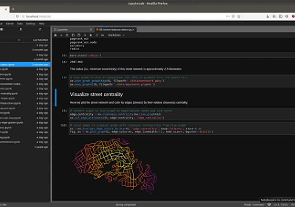
Researchers and practitioners across many disciplines have recently adopted computational notebooks to develop, document, and share their scientific workflows—and the GIS community is no exception. This chapter introduces computational notebooks in the geographical context. It begins by explaining the computational paradigm and philosophy that underlie notebooks. Next it unpacks their architecture to illustrate a notebook user’s typical workflow. Then it discusses the main benefits notebooks offer GIS researchers and practitioners, including better integration with modern software, more natural access to new forms of data, and better alignment with the principles and benefits of open science. In this context, it identifies notebooks as the “glue” that binds together a broader ecosystem of open source packages and transferable platforms for computational geography. The chapter concludes with a brief illustration of using notebooks for a set of basic GIS operations. Compared to traditional desktop GIS, notebooks can make spatial analysis more nimble, extensible, and reproducible and have thus evolved into an important component of the geospatial science toolkit.

PD-14 - GIS and Parallel Programming

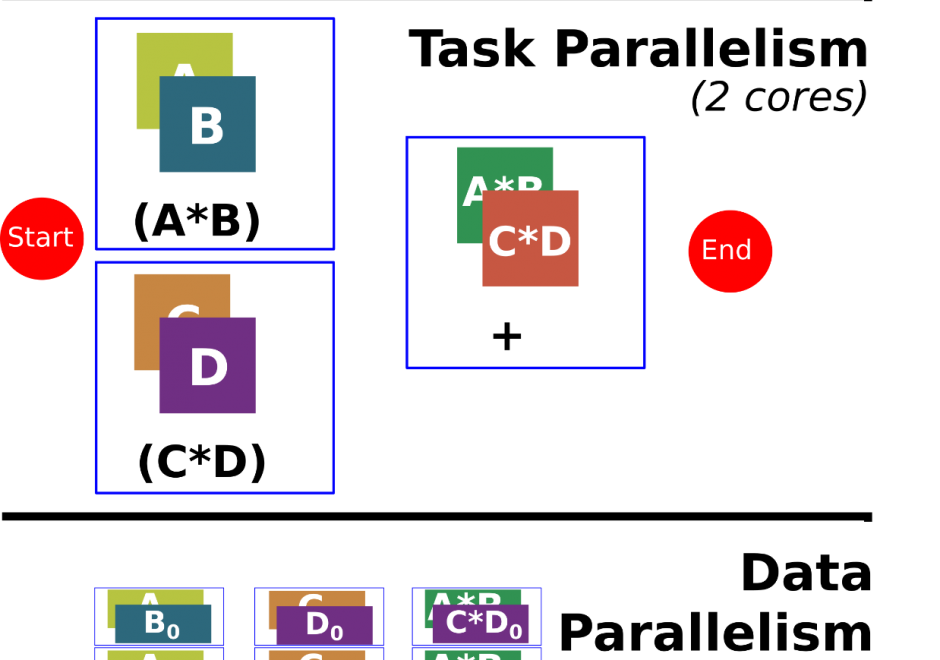
Programming is a sought after skill in GIS, but traditional programming (also called serial programming) only uses one processing core. Modern desktop computers, laptops, and even cellphones now have multiple processing cores, which can be used simultaneously to increase processing capabilities for a range of GIS applications. Parallel programming is a type of programming that involves using multiple processing cores simultaneously to solve a problem, which enables GIS applications to leverage more of the processing power on modern computing architectures ranging from desktop computers to supercomputers. Advanced parallel programming can leverage hundreds and thousands of cores on high-performance computing resources to process big spatial datasets or run complex spatial models.

Parallel programming is both a science and an art. While there are methods and principles that apply to parallel programming--when, how, and why certain methods are applied over others in a specific GIS application remains more of an art than a science. The following sections introduce the concept of parallel programming and discuss how to parallelize a spatial problem and measure parallel performance.

PD-19 - GIS APIs

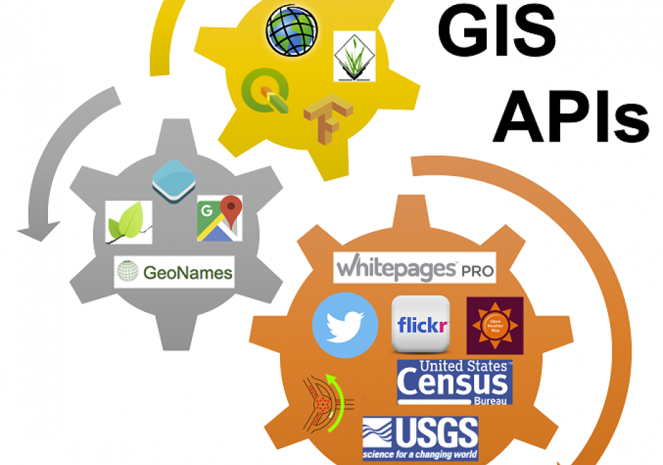
GIS APIs are collections of library modules that resemble various functionalities of GIS software through programming. GIS APIs evolved from desktop GIS. GIS APIs, as a distributed solution, are interoperable, scalable, light-weight, user-friendly, and versatile to a wide range of GIS users. This entry provides an overview of common GIS APIs, their functionalities as well as other related APIs. The general procedure to develop customized GIS applications is briefly discussed and demonstrated in a case study.

GS-29 - GIS Participatory Modeling

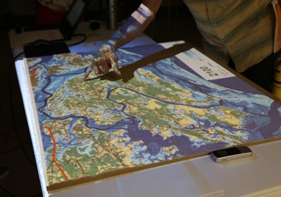
Participatory research is increasingly used to better understand complex social-environmental problems and design solutions through diverse and inclusive stakeholder engagement. A growing number of approaches are helping to foster co-production of knowledge among diverse stakeholders. However, most methods don’t allow stakeholders to directly interact with the models that often drive environmental decision-making. Geospatial participatory modeling (GPM) is an approach that engages stakeholders in co-development and interpretation of models through dynamic geovisualization and simulations. GPM can be used to represent dynamic landscape processes and spatially explicit management scenarios, such as land use change or climate adaptation, enhancing opportunities for co-learning. GPM can provide multiple benefits over non-spatial approaches for participatory research processes, by (a) personalizing connections to problems and their solutions, (b) resolving abstract notions of connectivity, and (c) clarifying the scales of drivers, data, and decision-making authority. An adaptive, iterative process of model development, sharing, and revision can drive innovation of methods, improve model realism or applicability, and build capacity for stakeholders to leverage new knowledge gained from the process. This co-production of knowledge enables participants to more fully understand problems, evaluate the acceptability of trade-offs, and build buy-in for management actions in the places where they live and work.

DA-01 - GIS&T and Agriculture

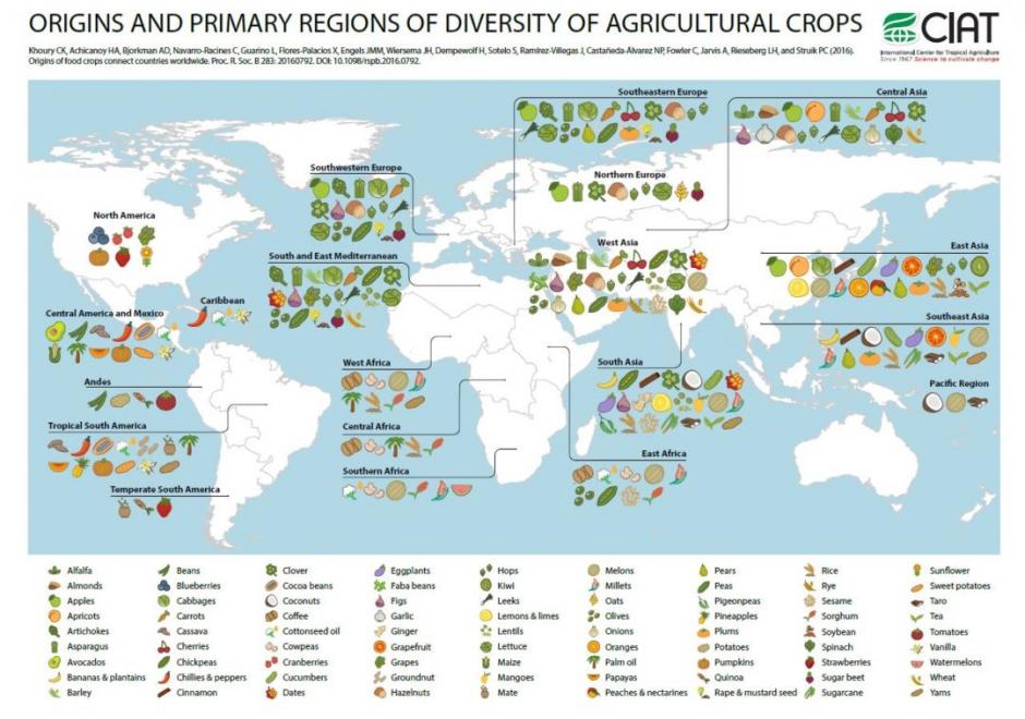
Agriculture, whether in the Corn Belt of the United States, the massive rice producing areas of Southeast Asia, or the bean harvest of a smallholder producer in Central America, is the basis for feeding the world. Agriculture systems are highly complex and heterogeneous in both space and time. The need to contextualize this complexity and to make more informed decisions regarding agriculture has led to GIS&T approaches supporting the agricultural sciences in many different areas. Agriculture represents a rich resource of spatiotemporal data and different problem contexts; current and future GIScientists should look toward agricultural as a potentially rewarding area of investigation and, likewise, one where new approaches have the potential to help improve the food, environmental, and economic security of people around the world.

DA-08 - GIS&T and Archaeology

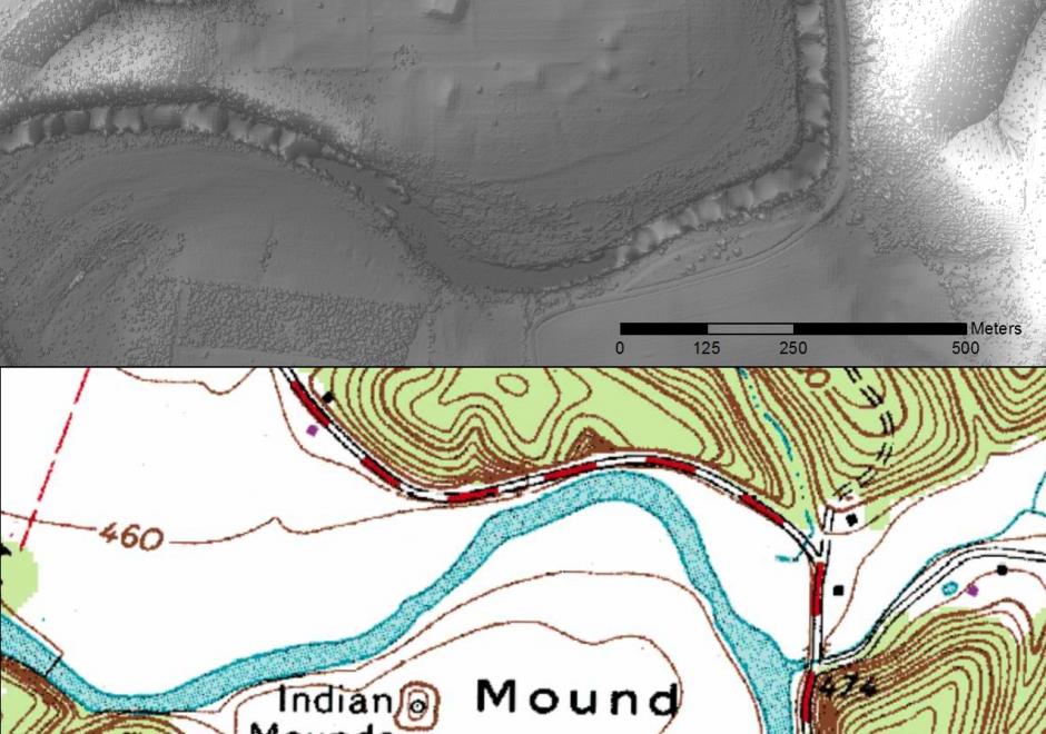
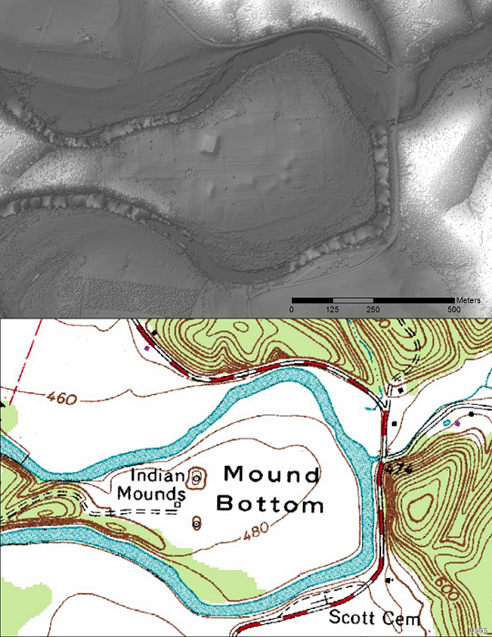
topo map and LiDAR image

Figure 1.  USGS topo map and bare earth (LiDAR) image of Tennessee’s Mound Bottom State Archaeological Area. Bare Earth DEM processed by Zada Law.

Archaeology provides a glimpse into the lives of past peoples and histories that may have otherwise been forgotten. Geographic Information Systems and Technology (GIS&T) has become an invaluable tool in this endeavor by advancing the identification, documentation, and study of archaeological resources. Large scale mapping techniques have increased the efficiency of site surveys even in challenging environments. GIS&T refers to such things as remote sensing, spatial analysis, and mapping tools. The use of GIS&T for archaeology is a truly interdisciplinary field as it borrows principles from geology, oceanography, botany, meteorology and more in order to further the science. This chapter discusses some of the primary GIS&T tools and techniques used in archaeology and the primary ways in which they are applied.

DA-04 - GIS&T and Civil Engineering

Civil Engineering, which includes sub-disciplines such as environmental, geotechnical, structural, and water resource engineering, is increasingly dependent on the GIS&T for the planning, design, operation and management of civil engineering infrastructure systems.  Typical tasks include the management of spatially referenced data sets, analytic modeling for making design decisions and estimating likely system behavior and impacts, and the visualization of systems for the decision-making process and garnering stakeholder support.

GS-28 - GIS&T and Community Engagement

URISA’s GISCorps is a case study in community engagement by members of the GIS&T community, whether for purposes of community service or service learning. Since 2004, GISCorps volunteers have contributed their GIS&T expertise to organizations and communities in need all over the world. In doing so, volunteers make a positive difference to the broader community while gaining experience, developing skills, and expanding professional networks.

DA-18 - GIS&T and Disaster Management

Geographic Information Science and Technology (GIS&T) has a long-running tradition of using spatially-oriented methodologies and representational techniques such as cartography and mapping to address hazards and disasters. This tradition remains important as ever as global society faces newer and more complex challenges resulting from climate change and new challenges such as the COVID-19 pandemic. GIS&T has become an invisible technology within the disaster management cycle of planning and preparedness, response, recovery, and mitigation. Spatial technologies such as geographic information systems (GIS), remote sensing techniques, spatial data science, artificial intelligence, and machine learning are now widespread and pervasive. Despite these advancements, there is more that can be done to incorporate GIS&T perspectives into disaster management. In this article, we outline important conceptual ideas to consider on the use of GIS&T for disaster management, disaster management organizations that use GIS&T, and practical information to orient newcomers to this exciting and important interdisciplinary combination.

Pages