All Topics

A B C D E F G H I J K L M N O P R S T U V W
DM-34 - Conceptual Data Models

Within an initial phase of database design, a conceptual data model is created as a technology-independent specification of the data to be stored within a database. This specification often times takes the form of a formalized diagram.  The process of conceptual data modeling is meant to foster shared understanding among data modelers and stakeholders when creating the specification.  As such, a conceptual data model should be easily readable by people with little or no technical-computer-based expertise because a comprehensive view of information is more important than a detailed view. In a conceptual data model, entity classes are categories of things (person, place, thing, etc.) that have attributes for describing the characteristics of the things.  Relationships can exist between the entity classes.  Entity-relationship diagrams have been and are likely to continue to be a popular way of characterizing entity classes, attributes and relationships.  Various notations for diagrams have been used over the years. The main intent about a conceptual data model and its corresponding entity-relationship diagram is that they should highlight the content and meaning of data within stakeholder information contexts, while postponing the specification of logical structure to the second phase of database design called logical data modeling. 

FC-24 - Conceptual Models of Error and Uncertainty
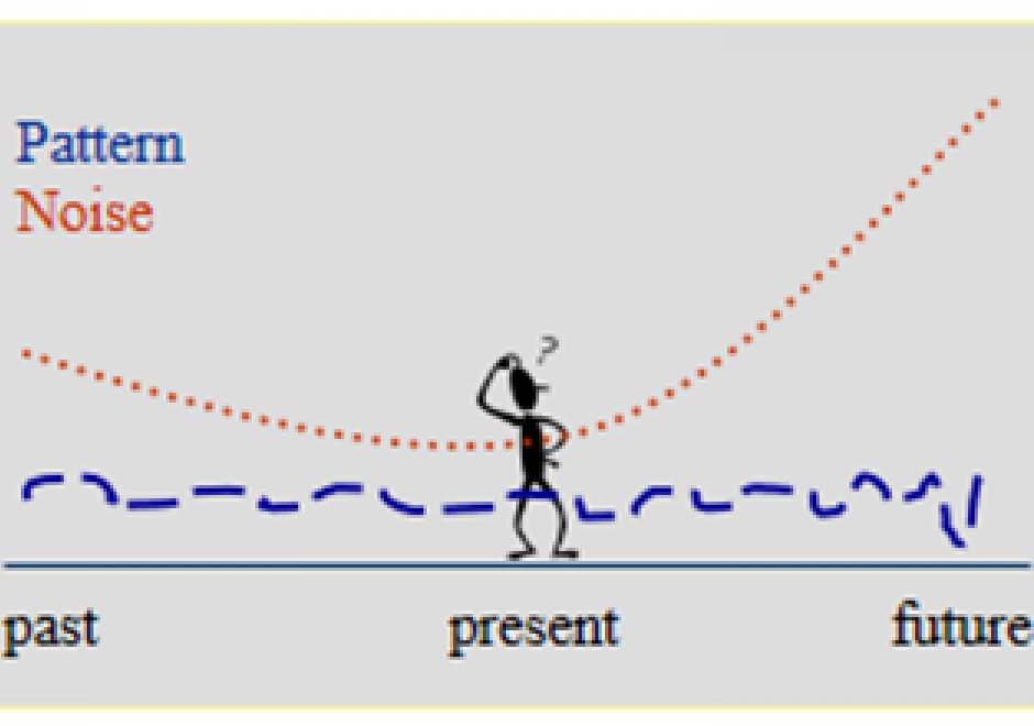
Uncertainty and error are integral parts of science and technology, including GIS&T, as they are of most human endeavors. They are important characteristics of knowledge, which is very seldom perfect. Error and uncertainty both affect our understanding of the present and the past, and our expectations from the future. ‘Uncertainty’ is sometimes used as the umbrella term for a number of related concepts, of which ‘error’ is the most important in GIS and in most other data-intensive fields. Very often, uncertainty is the result of error (or suspected error).  As concepts, both uncertainty and error are complex, each having several different versions, interpretations, and kinds of impacts on the quality of GIS products, and on the uses and decisions that users may make on their basis. This section provides an overview of the kinds of uncertainty and common sources of error in GIS&T, the role of a number of additional related concepts in refining our understanding of different forms of imperfect knowledge, the problems of uncertainty and error in the context of decision-making, especially regarding actions with important future consequences, and some standard as well as more exploratory approaches to handling uncertainties about the future. While uncertainty and error are in general undesirable, they may also point to unsuspected aspects of an issue and thus help generate new insights.

DM-88 - Coordinate Transformations

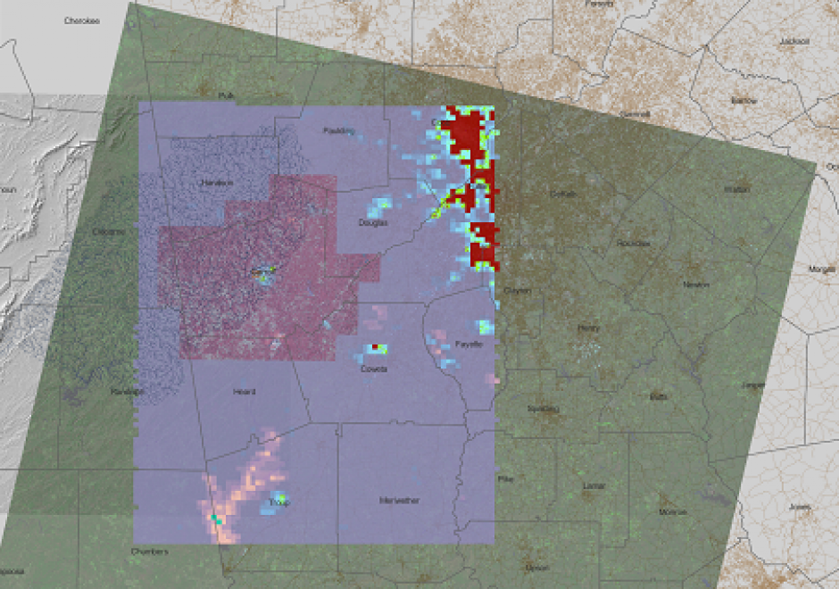
Coordinate transformations are needed to align multiple GIS datasets to one coordinate system when they use multiple coordinate systems. To transform coordinates, the properties of the source and target coordinate systems such as datums, projection methods, and their measurement origins and units should be identified carefully. Implemented in most GIS software and GIS data viewers, the on-the-fly projection technology projects GIS datasets automatically without the need for manual coordinate transformations by users. The coordinate transformation mechanisms for vector and raster datasets are different because the raster datasets require pixel value resampling during coordinate transformations. As a case study, eight GIS datasets were downloaded from multiple websites and were reprojected to a coordinate system in QGIS.

CP-13 - Cyberinfrastructure

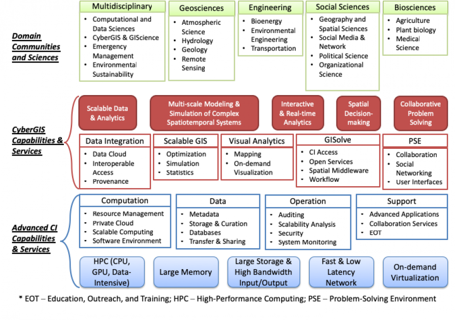
Cyberinfrastructure (sometimes referred to as e-infrastructure and e-science) integrates cutting-edge digital environments to support collaborative research and education for computation- and/or data-intensive problem solving and decision making (Wang 2010).

DM-62 - Database Administration

Organizations with a responsibility for maintaining large-scale, multi-user spatial databases often turn to server-based relational database management systems to achieve their goals.  The administration of such databases has many dimensions.  Industry standards in the areas of data storage and services should be researched and applied to ensure a sound, comprehensive database design as well as to promote interoperability with external entities.  Data validation tools should be implemented to improve the accuracy and efficiency of data maintenance activities.  Metadata should be maintained according to industry standards to protect the organization’s investment in data and to increase the likelihood of the data being located by clearinghouse and portal search tools.  Database security strategies can prevent unauthorized access to data and lessen the chances of data loss due to accidental data corruption.  Database performance should be monitored and strategies implemented to ensure that data can be retrieved from the system with acceptable response times.  Finally, trends in the field such as the increasing need to manage large volumes of data call for spatial database managers to be knowledgeable of non-relational data models as well, such as NoSQL data models.

CV-29 - Design and Aesthetics

Design and aesthetics are fundamental to cartographic practice. Developing students’ skills in design and aesthetics is a critical part of cartography education, yet design is also one of the most difficult part of the cartographic process. The cartographic design process of planning, creating, critiquing, and revising maps provides a method for making maps with intentional design decisions, utilizing an understanding of aesthetics to promote clarity and cohesion to attract the user and facilitate an emotional response. In this entry, cartographic design and the cartographic design process are reviewed, and the concepts of aesthetics, style, and taste are explained in the context of cartographic design.

PD-05 - Design, Development, Testing, and Deployment of GIS Applications

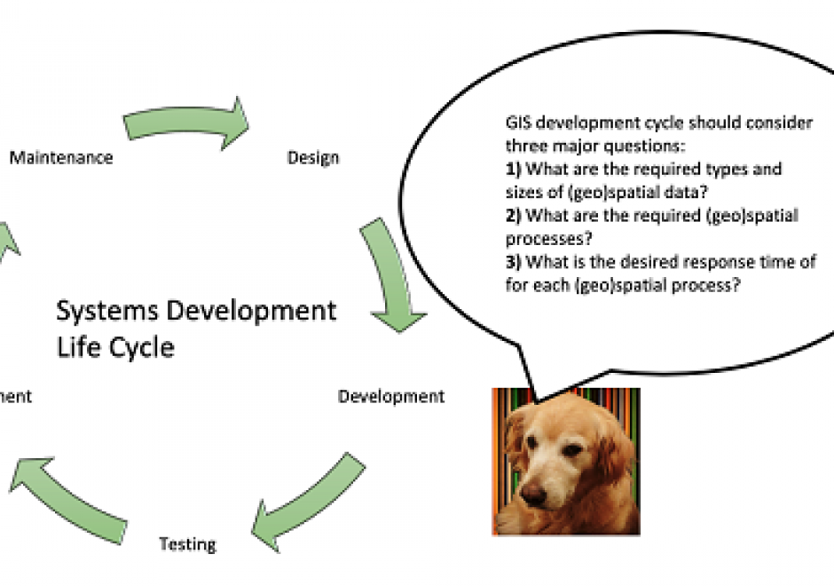
A systems development life cycle (SDLC) denes and guides the activities and milestones in the design, development, testing, and de ployment of software applications & information systems. Various choices of SDLC are available for different types of software applications & information systems and compositions of development teams and stakeholders. While the choice of an SDLC for building geographic information system (GIS) applications is similar to that of other types of software applications, critical decisions in each phase of the GIS development life cycle (GiSDLC) should take into account essential questions concern ing the storage, access, and analysis of (geo)spatial data for the target application. This article aims to introduce various considerations in the GiSDLC, from the perspectives of handling (geo)spatial data. The article rst introduces several (geo)spatial processes and types as well as various modalities of GIS applications. Then the article gives a brief introduction to an SDLC, including explaining the role of (geo)spatial data in the SDLC. Finally, the article uses two existing real-world applications as an example to highlight critical considerations in the GiSDLC.

FC-14 - Directional Operations

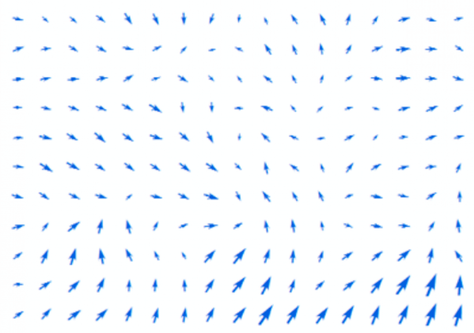
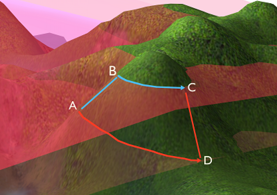
In the same manner as distance, direction plays an equally important role in GIS. This article first summarizes different ways of measuring direction, either quantitatively or qualitatively. Formulas and examples are provided. In the following discussion, fundamental differences between distance and direction in describing spatial relations is examined; properties of angles are emphasized in the context of GIS; and the classification of both cardinal and projective direction is illustrated. With a focus on quantitative operations, various directional operations are categorized and elaborated based on factors such as the underlying data model (vector or raster) and whether direction effect is explicitly or implicitly embedded in the data.

FC-42 - Distance Operations

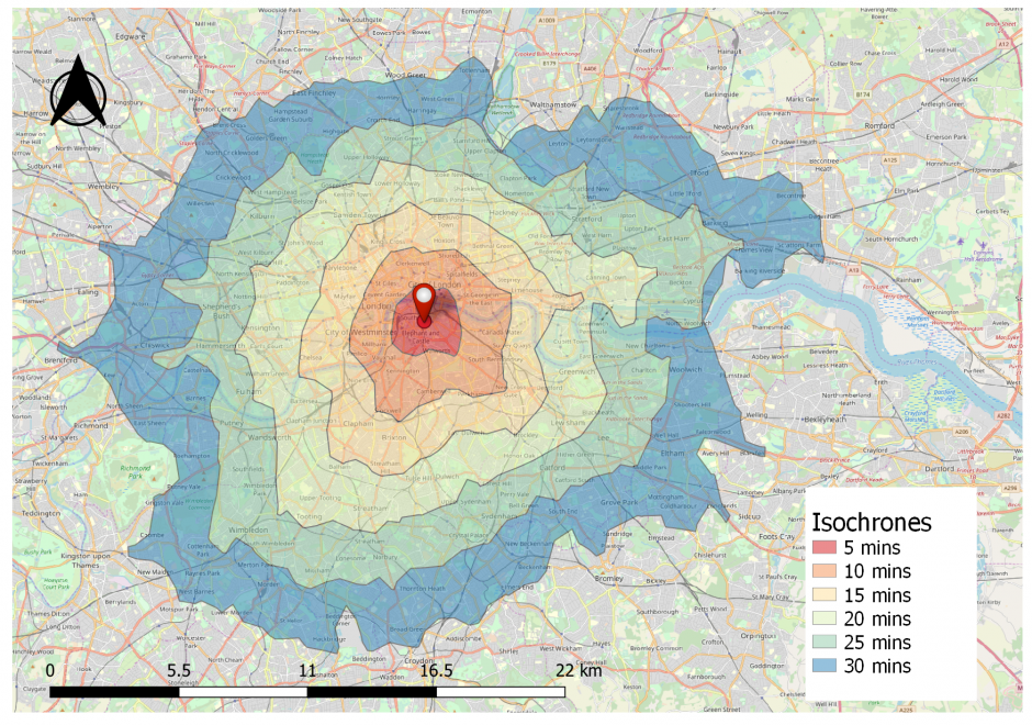
Distance is a central concept in geography, and consequently, there are various types of operations that leverage the concept of distance. This short article introduces common distance measures, the purpose of distance operations, different types of operations and considerations, as well as sample applications in the physical and social domains. Distance operations can be performed on both vector or raster data, but the operations and results may differ. While performing distance operations, it is important to remember how distance is conceptualized while performing the operation.

DM-44 - Earth's Shape, Sea Level, and the Geoid

C. F. Gauss set the modern definition of the shape of the Earth, being described as the shape the oceans would adopt if they were entirely unperturbed and, thus, placid—a surface now called the geoid.  This surface cannot be observed directly because the oceans have waves, tides, currents, and other perturbations. Nonetheless, the geoid is the ideal datum for heights, and the science of determining the location of the geoid for practical purposes is the topic of physical geodesy. The geoid is the central concept that ties together what the various kinds of height mean, how they are measured, and how they are inter-related.

Pages