Computing Platforms

Computing Platforms provide the computational capabilities to apply methods and models to geographic data. Computing Platforms vary in capability, price, and availability from mobile devices to advanced supercomputers and from standalone computers to complex networked infrastructures to address different user needs and data-processing workloads.

Topics in this Knowledge Area are listed thematically below. Existing topics are in regular font and linked directly to their original entries (published in 2006; these contain only Learning Objectives). Entries that have been updated and expanded are in bold. Forthcoming, future topics are italicized

Computing Infrastructures Software Systems 
Graphics Processing Units Spatial Database Management Systems (DBMS)
Spatial Cloud Computing Spatial MapReduce
Mobile Devices Artificial Intelligence Tools and Platforms for GIS
Cyberinfrastructure Geospatial Technology Transfer
eScience, the Evolution of Science Web GIS
Computing Approaches Enterprise GIS
Origins of Computing & GIS&T: a Computer Systems Perspective   
Origins of Computing & GIS&T: a Perspective on the Role of Peripheral Devices Examples and Applications 
High Throughput Computing and GIS Google Earth Engine
High Performance Computing and GIS ArcGIS Online
Science Gateways GIS&T and Computational Notebooks
  OSGeo Live
  Apache Spark
Social Media and Location-based Services  
Location-based Services  
GIS& the Internet of Things  
Social Media Analytics  
Social Networks  
GIS&T Web Services  


CP-12 - Location-Based Services

Location-Based Services (LBS) are mobile applications that provide information depending on the location of the user. To make LBS work, different system components are needed, i.e., mobile devices, positioning, communication networks, and service and content provider. Almost every LBS application needs several key elements to handle the main tasks of positioning, data modeling, and information communication. With the rapid advances in mobile information technologies, LBS have become ubiquitous in our daily lives with many application fields, such as navigation and routing, social networking, entertainment, and healthcare. Several challenges also exist in the domain of LBS, among which privacy is a primary one. This topic introduces the key components and technologies, modeling, communication, applications, and the challenges of LBS.

CP-15 - Mobile Devices

Mobile devices refer to a computing system intended to be used by hand, such as smartphones or tablet computers. Mobile devices more broadly refer to mobile sensors and other hardware that has been made for relatively easy transportability, including wearable fitness trackers. Mobile devices are particularly relevant to Geographic Information Systems and Technology (GIS&T) in that they house multiple locational sensors that were until recently very expensive and only accessible to highly trained professionals. Now, mobile devices serve an important role in computing platform infrastructure and are key tools for collecting information and disseminating information to, from, and among heterogeneous and spatially dispersed audiences and devices. Due to the miniaturization and the decrease in the cost of computing capabilities, there has been widespread social uptake of mobile devices, making them ubiquitous. Mobile devices are embedded in Geographic Information Science (GIScience) meaning GIScience is increasingly permeating lived experiences and influencing social norms through the use of mobile devices. In this entry, locational sensors are described, with computational considerations specifically for mobile computing. Mobile app development is described in terms of key considerations for native versus cross-platform development. Finally, mobile devices are contextualized within computational infrastructure, addressing backend and frontend considerations.

CP-16 - On the Origins of Computing and GIS&T: Part I, A Computer Systems Perspective

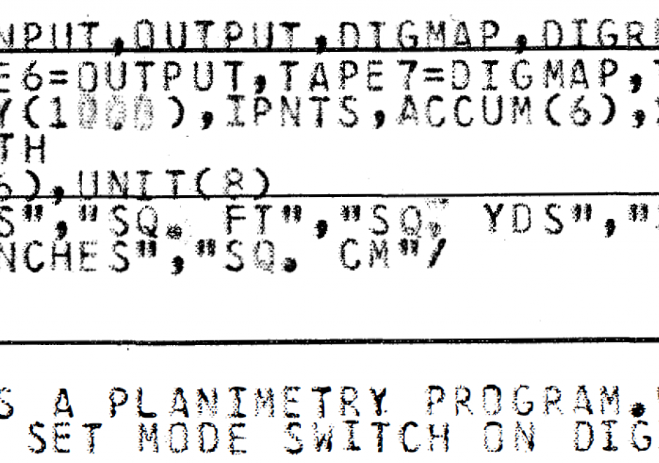
This paper describes the evolutionary path of hardware systems and the hardware-software interfaces that were used for GIS&T development during its “childhood”, the era from approximately the late 1960s to the mid-1980s.  The article is structured using a conceptualization that developments occurred during this period in three overlapping epochs that have distinctive modes of interactivity and user control: mainframes, minicomputers and workstations.  The earliest GIS&T applications were developed using expensive mainframe computer systems, usually manufactured by IBM. These mainframes typically had memory measured in kilobytes and operated in batch mode with jobs submitted using punched cards as input.  Many such systems used an obscure job control language with a rigid syntax. FORTRAN was the predominant language used for GIS&T software development. Technological developments, and associated cost reductions, led to the diffusion of minicomputers and a shift away from IBM. Further developments led to the widespread adoption of single user workstations that initially used commodity processors and later switched to reduced instruction set chips. Many minicomputers and workstations ran some variant of the UNIX operating system, which substantially improved user interactivity.

CP-32 - On the Origins of Computing and GIST: Part 2, A Perspective on the Role of Peripheral Devices

GIS implementations in the late-1960s to mid-1980s required the use of exotic peripheral devices to encode and display geospatial information. Data encoding was normally performed in one of two modes: automated raster scanning and manual (vector) coordinate recording. Raster scanning systems in this era were extremely expensive, operated in batch mode, and were located at a limited number of centralized facilities, such as federal mapping agencies. Coordinate digitizers were more widely distributed and were often configured with dedicated minicomputers to handle editing and formatting tasks. Data display devices produced hardcopy and softcopy output. Two commonly encountered hardcopy devices were line printers and pen plotters. Softcopy display consisted of cathode ray tube devices that operated using frame buffer and storage tube technologies. Each device was driven by specialized software provided by device manufacturers, leading to widespread hardware-software incompatibly. This problem led to the emergence of device independence to promote increased levels of interoperability among disparate input and output devices.

CP-10 - Social Media Analytics

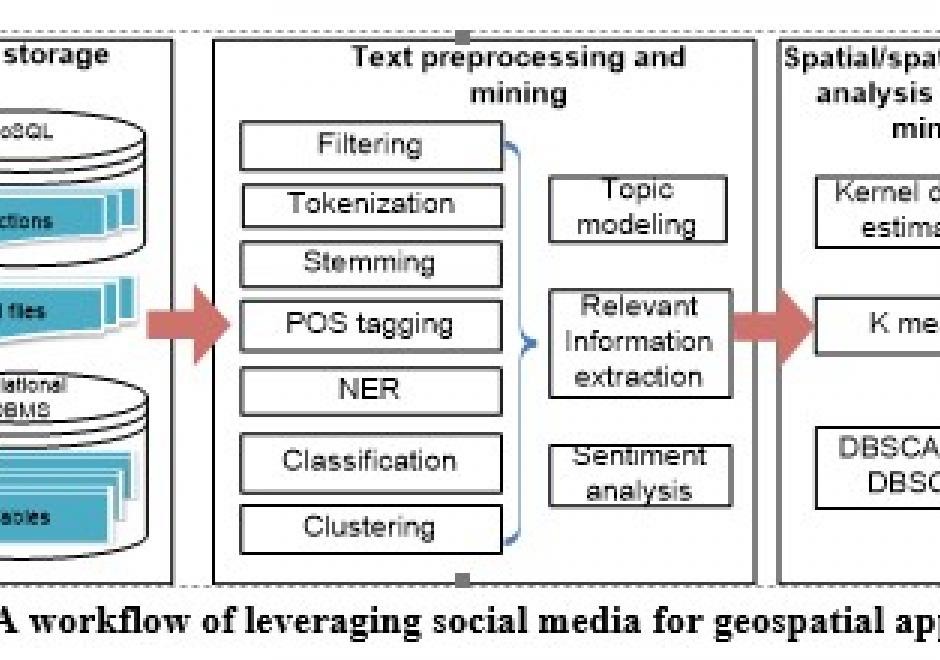
Social media streams have emerged as new sources to support various geospatial applications. However, traditional geospatial tools and systems lack the capacities to process such data streams, which are generated dynamically in extremely large volumes and with versatile contents. Therefore, innovative approaches and frameworks should be developed to detect an emerging event discussed over the social media, understand the extent, consequences of the event, as well as it time-evolving nature, and eventually discover useful patterns. In order to harness social media for geospatial applications, this entry introduces social media analytics technologies for harvesting, managing, mining, analyzing and visualizing the spatial, temporal, text, and network information of social media data.

CP-21 - Social Networks

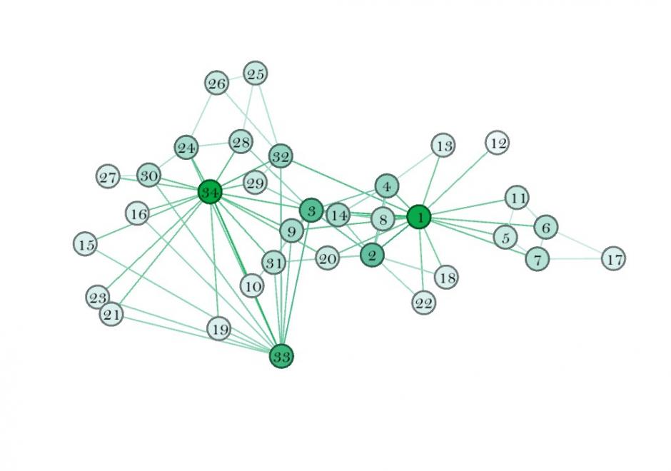
This entry introduces the concept of a social network (SN), its components, and how to weight those components. It also describes some spatial properties of SNs, and how to embed SNs into GIS. SNs are graph structures that consists of nodes and edges that traditionally exist in Sociology and are newer to GIScience. Nodes typically represent individual entities such as people or institutions, and edges represent interpersonal relationships, connections or ties. Many different mathematical metrics exist to characterize nodes, edges and the larger network. When geolocated, SNs are part of a class of spatial networks, more specifically, geographic networks (i.e. road networks, hydrological networks), that require special treatment because edges are non-planar, that is, they do not follow infrastructure or form a vector on the earth’s surface. Future research in this area is likely to take advantage of 21st Century datasets sourced from social media, GPS, wireless signals, and online interactions that each evidence geolocated personal relationships.

CP-01 - Software systems
  • Describe the major geospatial software architectures available currently, including desktop GIS, server-based, Internet, and component-based custom applications
  • Describe non-spatial software that can be used in geospatial applications, such as databases, Web services, and programming environments
  • Compare and contrast the primary sources of geospatial software, including major and minor commercial vendors and open-source options
  • List the major functionality needed from off-the-shelf software based on a requirements report
  • Identify software options that meet functionality needs for a given task or enterprise
  • Evaluate software options that meet functionality needs for a given task or enterprise
CP-08 - Spatial Cloud Computing

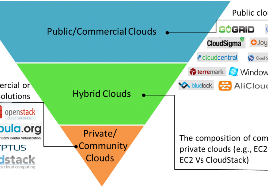
The scientific and engineering advancements in the 21st century pose grand computing challenges in managing big data, using complex algorithms to extract information and knowledge from big data, and simulating complex and dynamic physical and social phenomena. Cloud computing emerged as new computing model with the potential to address these computing challenges. This entry first introduces the concept, features and service models of cloud computing. Next, the ideas of generalized architecture and service models of spatial cloud computing are then elaborated to identify the characteristics, components, development and applications of spatial cloud computing for geospatial sciences. 

CP-07 - Spatial MapReduce

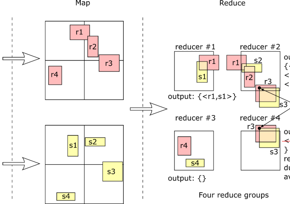
MapReduce has become a popular programming paradigm for distributed processing platforms. It exposes an abstraction of two functions, map and reduce, which users can define to implement a myriad of operations. Once the two functions are defined, a MapReduce framework will automatically apply them in parallel to billions of records and over hundreds of machines. Users in different domains are adopting MapReduce as a simple solution for big data processing due to its flexibility and efficiency. This article explains the MapReduce programming paradigm, focusing on its applications in processing big spatial data. First, it gives a background on MapReduce as a programming paradigm and describes how a MapReduce framework executes it efficiently at scale. Then, it details the implementation of two fundamental spatial operations, namely, spatial range query and spatial join. Finally, it gives an overview of spatial indexing in MapReduce systems and how they can be combined with MapReduce processing.

CP-14 - Web GIS

Web GIS allows the sharing of GIS data, maps, and spatial processing across private and public computer networks. Understanding web GIS requires learning the roles of client and server machines and the standards and protocols around how they communicate to accomplish tasks. Cloud computing models have allowed web-based GIS operations to be scaled out to handle large jobs, while also enabling the marketing of services on a per-transaction basis.

A variety of toolkits allow the development of GIS-related websites and mobile apps. Some web GIS implementations bring together map layers and GIS services from multiple locations. In web environments, performance and security are two concerns that require heightened attention. App users expect speed, achievable through caching, indexing, and other techniques. Security precautions are necessary to ensure sensitive data is only revealed to authorized viewers.

Many organizations have embraced the web as a way to openly share spatial data at a relatively low cost. Also, the web-enabled expansion of spatial data production by nonexperts (sometimes known as “neogeography”) offers a rich field for alternative mappings and critical study of GIS and society.

Pages