crowdsourcing

GS-28 - GIS&T and Community Engagement

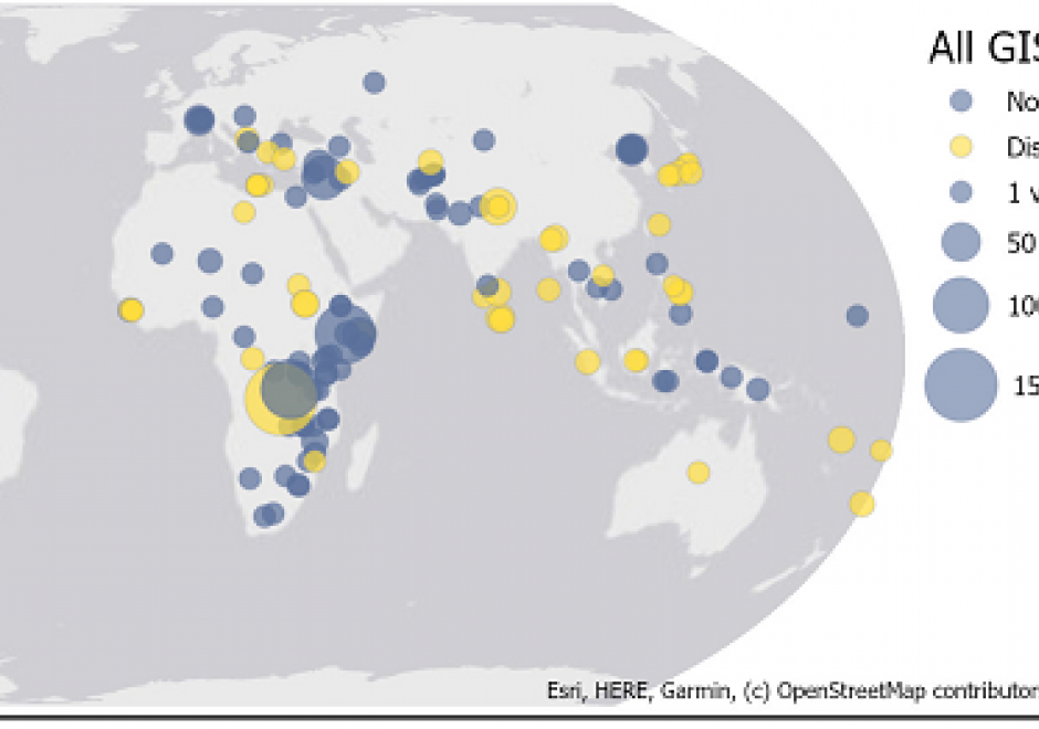
URISA’s GISCorps is a case study in community engagement by members of the GIS&T community, whether for purposes of community service or service learning. Since 2004, GISCorps volunteers have contributed their GIS&T expertise to organizations and communities in need all over the world. In doing so, volunteers make a positive difference to the broader community while gaining experience, developing skills, and expanding professional networks.

GS-24 - Citizen Science with GIS&T
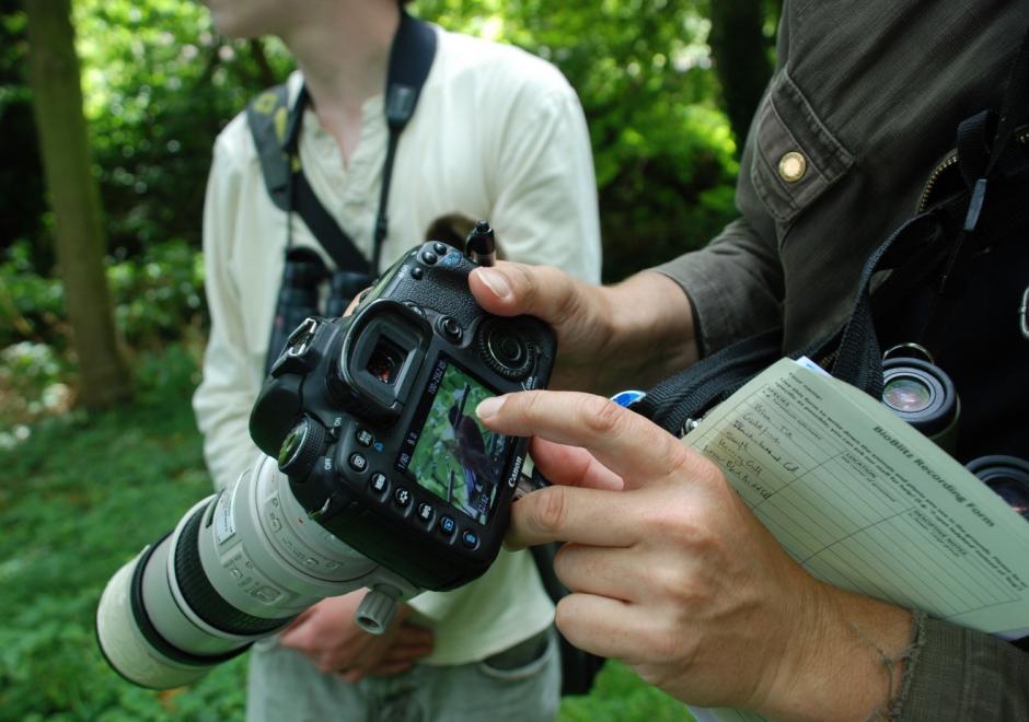
Figure 1. Participant in a BioBlitz records bird observation (Source: Jo Somerfield)


Citizen Science is defined as the participation of non-professional volunteers in scientific projects (Dickson et al, 2010) and has experienced rapid growth over the past decade. The projects that are emerging in this area range from contributory projects, co-created projects, collegiate projects, which are initiated and run by a group of people with shared interest, without any involvement of professional scientists.  

In many citizen science projects, GIS&T is enabling the collection, analysis, and visualisation of spatial data to affect decision-making. Some examples may include:

  • Recording the location of invasive species or participating in a BioBlitz to record local biodiversity (Figure 1).
  • Measuring air quality or noise over a large area and over time to monitor local conditions and address them
  • Using tools to educate on and increase access to local resources,  improving community resilience

Such projects have the opportunity to empower or disempower members of the public, depending upon access to and understanding of technology. Citizen Science projects using GIS&T may help communities influence decision makers and support the gathering of large-scale scientific evidence on a range of issues. This may also renew people’s interests in the sciences and foster continued and lifelong learning. 


DC-11 - Street-level Imagery

Street-level imagery consists of collections of photographs taken from the perspective of moving pedestrians or vehicles. These collections are often stitched together digitally and georeferenced to create interactive and immersive landscapes that are virtually navigable by users. Such landscapes, sometimes called 360-degree panoramas, or bubbles, are uploaded onto web platforms, and linked with geographical databases, which allows users to search and explore the imagery in various ways. IT companies such as Google have created street-level imagery platforms that rely primarily on paid drivers, although they have begun to rely on contributor submissions to complement and expand their coverage. Recently services such as Mapillary and OpenStreetCam have advanced a model that relies primarily on volunteer contributors, leveraging community interest from projects such as OpenStreetMap. While street-level imagery has become a widespread tool with multiple commercial and non-commercial applications, it is also entangled various legal and public opinion controversies, due to its capabilities for private data collection and surveillance. 

GS-28 - GIS&T and Community Engagement

URISA’s GISCorps is a case study in community engagement by members of the GIS&T community, whether for purposes of community service or service learning. Since 2004, GISCorps volunteers have contributed their GIS&T expertise to organizations and communities in need all over the world. In doing so, volunteers make a positive difference to the broader community while gaining experience, developing skills, and expanding professional networks.

GS-24 - Citizen Science with GIS&T

Figure 1. Participant in a BioBlitz records bird observation (Source: Jo Somerfield)


Citizen Science is defined as the participation of non-professional volunteers in scientific projects (Dickson et al, 2010) and has experienced rapid growth over the past decade. The projects that are emerging in this area range from contributory projects, co-created projects, collegiate projects, which are initiated and run by a group of people with shared interest, without any involvement of professional scientists.  

In many citizen science projects, GIS&T is enabling the collection, analysis, and visualisation of spatial data to affect decision-making. Some examples may include:

  • Recording the location of invasive species or participating in a BioBlitz to record local biodiversity (Figure 1).
  • Measuring air quality or noise over a large area and over time to monitor local conditions and address them
  • Using tools to educate on and increase access to local resources,  improving community resilience

Such projects have the opportunity to empower or disempower members of the public, depending upon access to and understanding of technology. Citizen Science projects using GIS&T may help communities influence decision makers and support the gathering of large-scale scientific evidence on a range of issues. This may also renew people’s interests in the sciences and foster continued and lifelong learning. 
 

DC-11 - Street-level Imagery

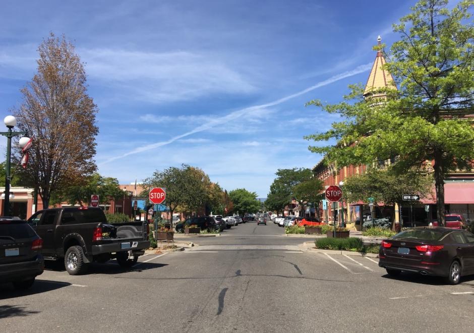
Street-level imagery consists of collections of photographs taken from the perspective of moving pedestrians or vehicles. These collections are often stitched together digitally and georeferenced to create interactive and immersive landscapes that are virtually navigable by users. Such landscapes, sometimes called 360-degree panoramas, or bubbles, are uploaded onto web platforms, and linked with geographical databases, which allows users to search and explore the imagery in various ways. IT companies such as Google have created street-level imagery platforms that rely primarily on paid drivers, although they have begun to rely on contributor submissions to complement and expand their coverage. Recently services such as Mapillary and OpenStreetCam have advanced a model that relies primarily on volunteer contributors, leveraging community interest from projects such as OpenStreetMap. While street-level imagery has become a widespread tool with multiple commercial and non-commercial applications, it is also entangled various legal and public opinion controversies, due to its capabilities for private data collection and surveillance. 

GS-28 - GIS&T and Community Engagement

URISA’s GISCorps is a case study in community engagement by members of the GIS&T community, whether for purposes of community service or service learning. Since 2004, GISCorps volunteers have contributed their GIS&T expertise to organizations and communities in need all over the world. In doing so, volunteers make a positive difference to the broader community while gaining experience, developing skills, and expanding professional networks.

GS-24 - Citizen Science with GIS&T

Figure 1. Participant in a BioBlitz records bird observation (Source: Jo Somerfield)


Citizen Science is defined as the participation of non-professional volunteers in scientific projects (Dickson et al, 2010) and has experienced rapid growth over the past decade. The projects that are emerging in this area range from contributory projects, co-created projects, collegiate projects, which are initiated and run by a group of people with shared interest, without any involvement of professional scientists.  

In many citizen science projects, GIS&T is enabling the collection, analysis, and visualisation of spatial data to affect decision-making. Some examples may include:

  • Recording the location of invasive species or participating in a BioBlitz to record local biodiversity (Figure 1).
  • Measuring air quality or noise over a large area and over time to monitor local conditions and address them
  • Using tools to educate on and increase access to local resources,  improving community resilience

Such projects have the opportunity to empower or disempower members of the public, depending upon access to and understanding of technology. Citizen Science projects using GIS&T may help communities influence decision makers and support the gathering of large-scale scientific evidence on a range of issues. This may also renew people’s interests in the sciences and foster continued and lifelong learning. 
 

DC-11 - Street-level Imagery

Street-level imagery consists of collections of photographs taken from the perspective of moving pedestrians or vehicles. These collections are often stitched together digitally and georeferenced to create interactive and immersive landscapes that are virtually navigable by users. Such landscapes, sometimes called 360-degree panoramas, or bubbles, are uploaded onto web platforms, and linked with geographical databases, which allows users to search and explore the imagery in various ways. IT companies such as Google have created street-level imagery platforms that rely primarily on paid drivers, although they have begun to rely on contributor submissions to complement and expand their coverage. Recently services such as Mapillary and OpenStreetCam have advanced a model that relies primarily on volunteer contributors, leveraging community interest from projects such as OpenStreetMap. While street-level imagery has become a widespread tool with multiple commercial and non-commercial applications, it is also entangled various legal and public opinion controversies, due to its capabilities for private data collection and surveillance. 

GS-28 - GIS&T and Community Engagement

URISA’s GISCorps is a case study in community engagement by members of the GIS&T community, whether for purposes of community service or service learning. Since 2004, GISCorps volunteers have contributed their GIS&T expertise to organizations and communities in need all over the world. In doing so, volunteers make a positive difference to the broader community while gaining experience, developing skills, and expanding professional networks.

Pages