Data Considerations

CV-20 - Raster Formats and Sources

Raster data is commonly used by cartographers in concert with vector data. Choice of raster file format is important when using raster data or producing raster output from vector data. Raster formats are designed for specific purposes and have limitations in color representation and data loss. The simplest raster formats are just a single two-dimensional array of pixels, where multi-band raster datasets use additional data values to represent color or other data. The article covers considerations for the intended use of raster formats. Formats and resolutions appropriate for the web may not be appropriate for print or higher resolution devices. Several types of raster sources are available including single band measures, imagery, and existing raster maps or basemaps. The future of raster will evolve as more formats, sources, and computational improvements are made.

CV-25 - Metadata, Quality, and Uncertainty
  • Describe a scenario in which possible errors in a map may impact subsequent decision making, such as a land use decision based on a soils map
  • Evaluate the uncertainty inherent in a map
  • Compare the decisions made using a map with a reliability overlay from those made using a map pair separating data and reliability, both drawn from the same dataset
  • Critique the assumption that maps can or should be “accurate”
CV-20 - Raster Formats and Sources

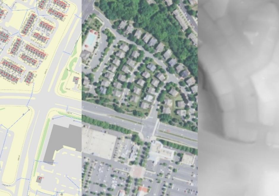
Raster data is commonly used by cartographers in concert with vector data. Choice of raster file format is important when using raster data or producing raster output from vector data. Raster formats are designed for specific purposes and have limitations in color representation and data loss. The simplest raster formats are just a single two-dimensional array of pixels, where multi-band raster datasets use additional data values to represent color or other data. The article covers considerations for the intended use of raster formats. Formats and resolutions appropriate for the web may not be appropriate for print or higher resolution devices. Several types of raster sources are available including single band measures, imagery, and existing raster maps or basemaps. The future of raster will evolve as more formats, sources, and computational improvements are made.

CV-25 - Metadata, Quality, and Uncertainty
  • Describe a scenario in which possible errors in a map may impact subsequent decision making, such as a land use decision based on a soils map
  • Evaluate the uncertainty inherent in a map
  • Compare the decisions made using a map with a reliability overlay from those made using a map pair separating data and reliability, both drawn from the same dataset
  • Critique the assumption that maps can or should be “accurate”
CV-20 - Raster Formats and Sources

Raster data is commonly used by cartographers in concert with vector data. Choice of raster file format is important when using raster data or producing raster output from vector data. Raster formats are designed for specific purposes and have limitations in color representation and data loss. The simplest raster formats are just a single two-dimensional array of pixels, where multi-band raster datasets use additional data values to represent color or other data. The article covers considerations for the intended use of raster formats. Formats and resolutions appropriate for the web may not be appropriate for print or higher resolution devices. Several types of raster sources are available including single band measures, imagery, and existing raster maps or basemaps. The future of raster will evolve as more formats, sources, and computational improvements are made.

CV-25 - Metadata, Quality, and Uncertainty
  • Describe a scenario in which possible errors in a map may impact subsequent decision making, such as a land use decision based on a soils map
  • Evaluate the uncertainty inherent in a map
  • Compare the decisions made using a map with a reliability overlay from those made using a map pair separating data and reliability, both drawn from the same dataset
  • Critique the assumption that maps can or should be “accurate”
CV-20 - Raster Formats and Sources

Raster data is commonly used by cartographers in concert with vector data. Choice of raster file format is important when using raster data or producing raster output from vector data. Raster formats are designed for specific purposes and have limitations in color representation and data loss. The simplest raster formats are just a single two-dimensional array of pixels, where multi-band raster datasets use additional data values to represent color or other data. The article covers considerations for the intended use of raster formats. Formats and resolutions appropriate for the web may not be appropriate for print or higher resolution devices. Several types of raster sources are available including single band measures, imagery, and existing raster maps or basemaps. The future of raster will evolve as more formats, sources, and computational improvements are made.

Pages