flows and networks

PD-01 - Linear Programming and GIS

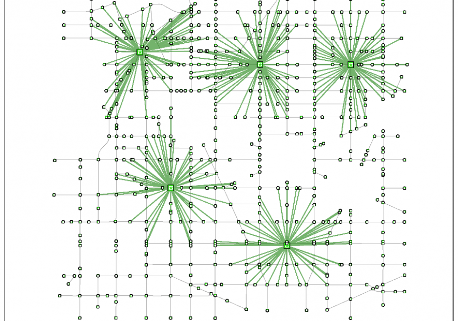
Linear programming is a set of methods for finding optimal solutions to mathematical models composed of a set of linear functions. Many spatial location problems can be structured as linear programs. However, even modest-sized problem instances can be very difficult to solve due to the combinatorial complexity of the problems and the associated computational expense that they incur. Geographic Information Systems software does not typically incorporate formal linear programming functionality, and instead commonly uses heuristic solution procedures to generate near-optimal solutions quickly. There is growing interest in integrating the spatial analytic tools incorporated in Geographic Information Systems with the solution power of linear programming software to generate guaranteed optimal solutions to spatial location problems.

AM-10 - Spatial Interaction
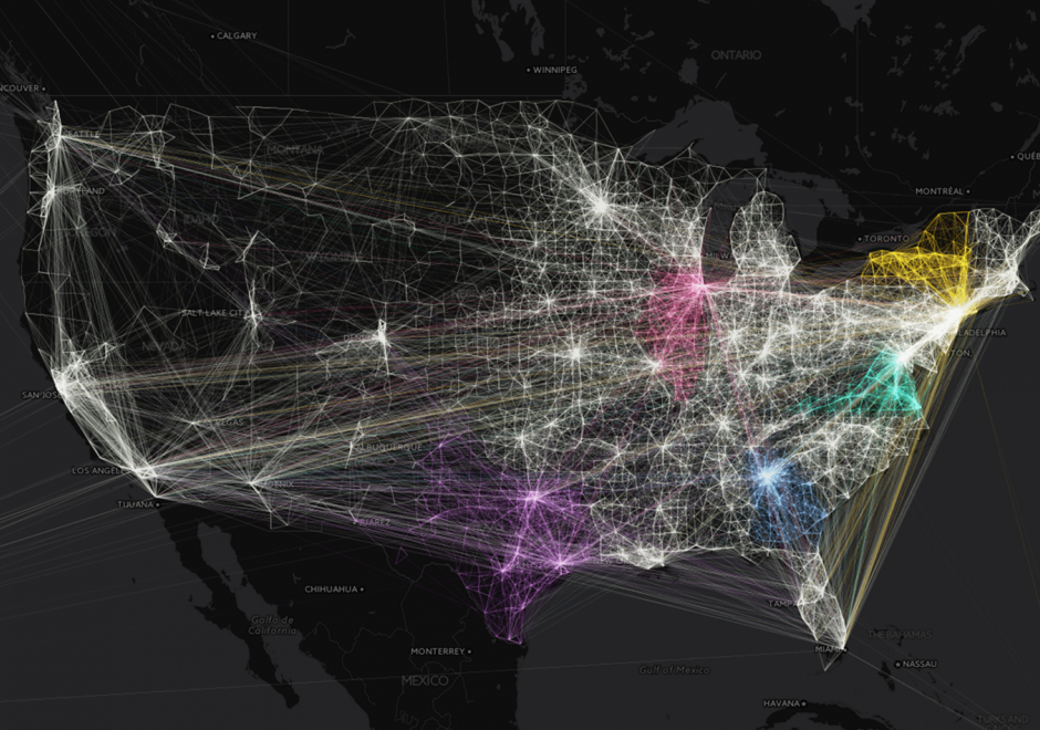
Spatial interaction (SI) is a fundamental concept in the GIScience literature, and may be defined in numerous ways. SI often describes the "flow" of individuals, commodities, capital, and information over (geographic) space resulting from a decision process. Alternatively, SI is sometimes used to refer to the influence of spatial proximity of places on the intensity of relations between those places. SI modeling as a separate research endeavor developed out of a need to mathematically model and understand the underlying determinants of these flows/influences. Proponents of SI modeling include economic geographers, regional scientists, and regional planners, as well as climate scientists, physicists, animal ecologists, and even some biophysical/environmental researchers. Originally developed from theories of interacting particles and gravitational forces in physics, SI modeling has developed through a series of refinements in terms of functional form, conceptual representations of distances, as well as a range of analytically rigorous technical improvements.
 

Pages