geocomputation

AM-68 - Rule Learning for Spatial Data Mining

Recent research has identified rule learning as a promising technique for geographic pattern mining and knowledge discovery to make sense of the big spatial data avalanche (Koperski & Han, 1995; Shekhar et al., 2003). Rules conveying associative implications regarding locations, as well as semantic and spatial characteristics of analyzed spatial features, are especially of interest. This overview considers fundamentals and recent advancements in two approaches applied on spatial data: spatial association rule learning and co-location rule learning.

PD-11 - Python for GIS
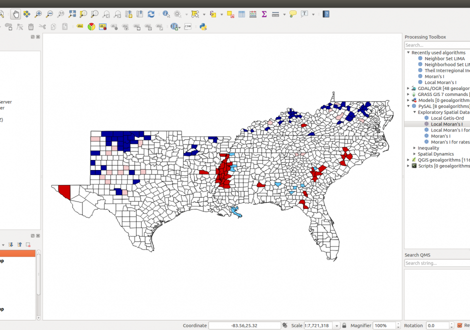
Figure 1. PySAL within QGIS Processing Toolbox: Hot-spot analysis of Homicide Rates in Southern US Counties.


Python is a popular language for geospatial programming and application development. This entry provides an overview of the different development modes that can be adopted for GIS programming with Python and discusses the history of Python adoption in the GIS community. The different layers of the geospatial development stack in Python are examined giving the reader an understanding of the breadth that Python offers to the GIS developer. Future developments and broader issues related to interoperability and programming ecosystems are identified.

Pages