historical GIS

DA-11 - GIS&T and the Digital Humanities

This entry reviews the use of GIS&T in the digital humanities and in the spatial humanities, highlighting opportunities for interdisciplinary collaborations between GIScientists and humanities scholars, including in history, archeology, and literary studies. Challenges are highlighted as well, including epistemological and ontological differences between the spatial, abstract, and quantitative view of the world of GIS&T and GIScience and the humanities emphasis on place and qualitative methods. The potential of mixed methods to bring together different epistemological perspectives is discussed in this context. Scale is identified as a promising geographical framework for humanities research, both in its metaphorical aspects and as intended in cartography. Examples of the use of GIS&T and GIScience in the humanities are provided, including historical GIS, geohistorical gazetteers, archeology and GIS, and GIS in literary studies. The entry is framed historically, with reference to the work of Bakhtin, Braudel, and Hägerstrand, who are early influencers of the spatial turn in the humanities. Among the research directions briefly explored are the GIS of place, deep maps, and qualitative GIS, which exemplify how the collaboration between GIScience and the humanities can be strengthened.

CV-33 - Narrative and Storytelling
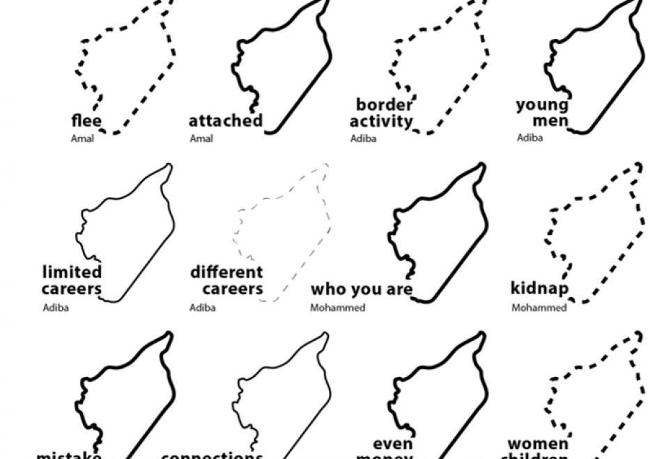
Maps are powerful storytellers. Maps have a long history combining spatial relations with cartographic language to locate, analyze, ground, and express stories told across time and space. Today, “story maps” are increasingly visible in cartography, GIScience, digital humanities, data visualization, and journalism due to the volume of available data and increasingly accessible mapping tools. Perhaps, most importantly, maps present world views and much larger (often hidden) stories or “meta-narratives.” These underlying stories often emerge from dominant perspectives that are deeply informed by power structures like racism, patriarchy, ableism, etc. and further generate uneven geographies. Attention to power in narrative and storytelling reveals and gives voice to alternative storylines and perspectives that can be woven together across time and space. In this entry, I introduce multiple conceptualizations of maps and stories from cartography and data journalism to feminist mapping, Black geographies, and decolonial mapping to illustrate the power of narrative and storytelling in mapping. I argue that understanding the power of narrative and storytelling in mapping is an essential skillset for students and professionals alike.

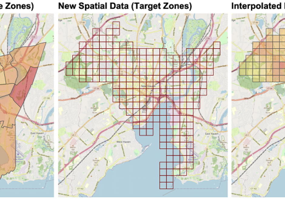
AM-40 - Areal Interpolation

Areal interpolation is the process of transforming spatial data from source zones with known values or attributes to target zones with unknown attributes. It generates estimates of source zone attributes over target zone areas. It aligns areal spatial data attributes over a single spatial framework (target zones) to overcome differences in areal reporting units due to historical boundary changes of reporting areas, integrating data from domains with different reporting conventions or in situations when spatially detailed information is not available. Fundamentally, it requires assumptions about how the target zone attribute relates to the source zones. Areal interpolation approaches can be grouped into two broad categories: methods that link target and source zones by their spatial properties (area to point, pycnophylactic and areal weighed interpolation) and methods that use ancillary or auxiliary information to control, inform, guide, and constrain the interpolation process (dasymetric, statistical, streetweighted and point-based interpolation). Additionally, there are new opportunities to use novel data sources to inform areal interpolation arising from the many new forms of spatial data supported by ubiquitous web- and GPS-enabled technologies including social media, PoI check-ins, spatial data portals (e.g for crime, house sales, microblogging sites) and collaborative mapping activities (e.g. OpenStreetMap).

DA-11 - GIS&T and the Digital Humanities

This entry reviews the use of GIS&T in the digital humanities and in the spatial humanities, highlighting opportunities for interdisciplinary collaborations between GIScientists and humanities scholars, including in history, archeology, and literary studies. Challenges are highlighted as well, including epistemological and ontological differences between the spatial, abstract, and quantitative view of the world of GIS&T and GIScience and the humanities emphasis on place and qualitative methods. The potential of mixed methods to bring together different epistemological perspectives is discussed in this context. Scale is identified as a promising geographical framework for humanities research, both in its metaphorical aspects and as intended in cartography. Examples of the use of GIS&T and GIScience in the humanities are provided, including historical GIS, geohistorical gazetteers, archeology and GIS, and GIS in literary studies. The entry is framed historically, with reference to the work of Bakhtin, Braudel, and Hägerstrand, who are early influencers of the spatial turn in the humanities. Among the research directions briefly explored are the GIS of place, deep maps, and qualitative GIS, which exemplify how the collaboration between GIScience and the humanities can be strengthened.

CV-33 - Narrative and Storytelling

Maps are powerful storytellers. Maps have a long history combining spatial relations with cartographic language to locate, analyze, ground, and express stories told across time and space. Today, “story maps” are increasingly visible in cartography, GIScience, digital humanities, data visualization, and journalism due to the volume of available data and increasingly accessible mapping tools. Perhaps, most importantly, maps present world views and much larger (often hidden) stories or “meta-narratives.” These underlying stories often emerge from dominant perspectives that are deeply informed by power structures like racism, patriarchy, ableism, etc. and further generate uneven geographies. Attention to power in narrative and storytelling reveals and gives voice to alternative storylines and perspectives that can be woven together across time and space. In this entry, I introduce multiple conceptualizations of maps and stories from cartography and data journalism to feminist mapping, Black geographies, and decolonial mapping to illustrate the power of narrative and storytelling in mapping. I argue that understanding the power of narrative and storytelling in mapping is an essential skillset for students and professionals alike.
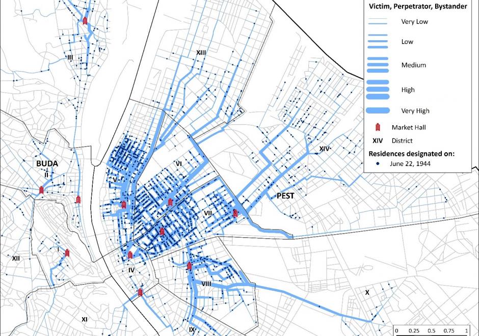
AM-40 - Areal Interpolation

Areal interpolation is the process of transforming spatial data from source zones with known values or attributes to target zones with unknown attributes. It generates estimates of source zone attributes over target zone areas. It aligns areal spatial data attributes over a single spatial framework (target zones) to overcome differences in areal reporting units due to historical boundary changes of reporting areas, integrating data from domains with different reporting conventions or in situations when spatially detailed information is not available. Fundamentally, it requires assumptions about how the target zone attribute relates to the source zones. Areal interpolation approaches can be grouped into two broad categories: methods that link target and source zones by their spatial properties (area to point, pycnophylactic and areal weighed interpolation) and methods that use ancillary or auxiliary information to control, inform, guide, and constrain the interpolation process (dasymetric, statistical, streetweighted and point-based interpolation). Additionally, there are new opportunities to use novel data sources to inform areal interpolation arising from the many new forms of spatial data supported by ubiquitous web- and GPS-enabled technologies including social media, PoI check-ins, spatial data portals (e.g for crime, house sales, microblogging sites) and collaborative mapping activities (e.g. OpenStreetMap).

DA-11 - GIS&T and the Digital Humanities

This entry reviews the use of GIS&T in the digital humanities and in the spatial humanities, highlighting opportunities for interdisciplinary collaborations between GIScientists and humanities scholars, including in history, archeology, and literary studies. Challenges are highlighted as well, including epistemological and ontological differences between the spatial, abstract, and quantitative view of the world of GIS&T and GIScience and the humanities emphasis on place and qualitative methods. The potential of mixed methods to bring together different epistemological perspectives is discussed in this context. Scale is identified as a promising geographical framework for humanities research, both in its metaphorical aspects and as intended in cartography. Examples of the use of GIS&T and GIScience in the humanities are provided, including historical GIS, geohistorical gazetteers, archeology and GIS, and GIS in literary studies. The entry is framed historically, with reference to the work of Bakhtin, Braudel, and Hägerstrand, who are early influencers of the spatial turn in the humanities. Among the research directions briefly explored are the GIS of place, deep maps, and qualitative GIS, which exemplify how the collaboration between GIScience and the humanities can be strengthened.

Pages