All Topics

The connections and interactions between GIS&T and society range in scale from institutions and business enterprises down to the individual level. Some fundamental drivers behind those interconnections are political, economic, legal, and cultural. Rapidly developing GI technology and infrastructures also generate various forms of public GIS practice as part of citizen science, VGI and social media. These activities provoke questions and critiques around governance, democracy, diversity, and ethics.

Topics in this Knowledge Area are listed thematically below. Existing topics are linked directly to either their original (2006) or revised entries; forthcoming, future topics are italicized. 

Law, Regulation, and Policy Governance and Agency
The Legal Regime Public Participation GIS
Location Privacy Professional & Practical Ethics of GIS&T
Mechanisms of Control of Geospatial Information Codes of Ethics for Geospatial Professionals
Legal Mechanisms for Sharing Geospatial Info Aggregation of Spatial Entities (with focus on Legislative Redistricting)
GIS&T for Equity and Social Justice Implications of Distributed GIS&T
  Citizen Science with GIS&T
Critical Perspectives GIS&T and Spatial Decision Support
Epistemological Critiques Mapping Spatial Justice for Marginal Societies
GIS and Critical Ethics GIS&T and Community Engagement (with focus on GISCorps)
Feminist Critiques of GIS Geospatial Participatory Modeling
Balancing Security & Open Access to Geospatial Data  


A B C E F G I L M P S T
GS-16 - Social critiques
  • Explain the argument that, throughout history, maps have been used to depict social relations
  • Explain the argument that GIS is “socially constructed”
  • Describe the use of GIS from a political ecology point of view (e.g., consider the use of GIS for resource identification, conservation, and allocation by an NGO in Sub-Saharan Africa)
  • Defend or refute the contention that critical studies have an identifiable influence on the development of the information society in general and GIScience in particular
  • Discuss the production, maintenance, and use of geospatial data by a government agency or private firm from the perspectives of a taxpayer, a community organization, and a member of a minority group
  • Explain how a tax assessor’s office adoption of GIS&T may affect power relations within a community
GS-25 - Spatial Decision Support
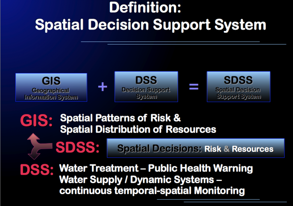
It has been estimated that 80% of all datasets include geographic references. Since these data often factor into preparing important decisions, we can assume that a significant proportion of all decisions have a geospatial aspect to them. Therefore, spatial decision support is an intrinsic component of societal decision-making. It is thus necessary for current and aspiring analysts, and for decision-makers and other stakeholders, to understand the fundamental concepts, techniques, and challenges of spatial decision support. This GIS&T topic explores the unique nature and basic concepts of spatial decision support, discusses the relationship between Spatial Decision Support Systems (SDSS) and Geographic Information Systems (GIS), and briefly introduces Multi-Criteria Decision Analysis (MCDA) as a decision support technique. The impact of Web-based and mobile information technology, ever-increasing accessibility of geospatial data, and participatory approaches to decision-making are touched upon and additional resources for further reading provided.