DA-47 - GIS&T in International Affairs

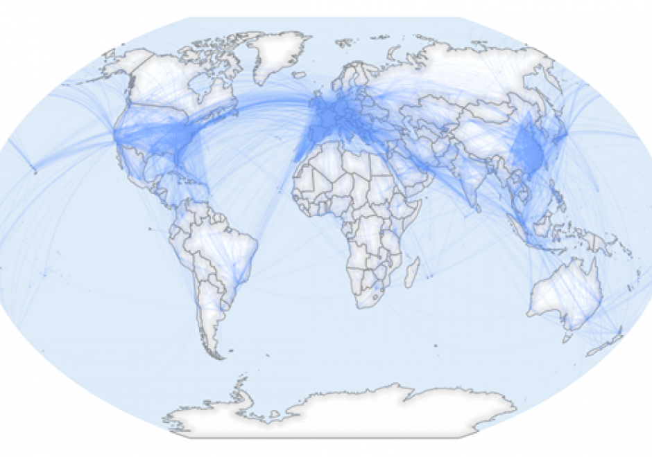
GIS applications within the International Affairs domain are vast, and they include: the analysis and representation of flows and stops of people, resources, and capital across borders, humanitarian assistance, war, conflict, and surveillance, and analysis of border-crossing spatial phenomena such as natural disasters and climate change.
Due to the wide range of potential thematic data, GIS for International Affairs should be a balance of hands-on practical application skills and critical thinking about spatial concepts of scale, boundaries, borders, and flows. GIS scholars and practitioners in this domain should learn to think critically about how and where spatial data is created, the people and cultures impacted by spatial data-driven decisions, and the equity of who is involved in such decisions. Students should learn how spatial data is created, how major datasets in the field are built, and how to design datasets during fieldwork for robust spatial analysis. Through all of this, critical thinking around which people and places are counted and represented should be maintained.
GIS in International Affairs must always contend with the colonial history of cartography, seeking now to understand how modern-day spatial technologies are always constituted by and embedded in constructions of power.


DA-13 - GIS&T in Criminal Justice and Law Enforcement
Linking crime and place has been the objective of crime mapping since the early nineteenth century. Contemporary scholars have since investigated spatio-temporal crime patterns to explain why crime concentrates in certain places during certain times. Collectively, this body of research has identified various environmental and situational factors that contribute to the formation of crime hot spots and spawned widespread crime prevention and reduction strategies commonly referred to as place-based policing. Environmental criminology guides the bulk of this crime-and-place research and provides a means for interpreting place and crime. The chapter details theories behind place-based policing, examples of place-based policing strategies that leverage geographic information science and its associated technologies (GIS&T), and relevant data visualization tools used by law enforcement to implement place-based strategies to address crime.