All Topics

The connections and interactions between GIS&T and society range in scale from institutions and business enterprises down to the individual level. Some fundamental drivers behind those interconnections are political, economic, legal, and cultural. Rapidly developing GI technology and infrastructures also generate various forms of public GIS practice as part of citizen science, VGI and social media. These activities provoke questions and critiques around governance, democracy, diversity, and ethics.

Topics in this Knowledge Area are listed thematically below. Existing topics are linked directly to either their original (2006) or revised entries; forthcoming, future topics are italicized. 

Law, Regulation, and Policy Governance and Agency
The Legal Regime Public Participation GIS
Location Privacy Professional & Practical Ethics of GIS&T
Mechanisms of Control of Geospatial Information Codes of Ethics for Geospatial Professionals
Legal Mechanisms for Sharing Geospatial Info Aggregation of Spatial Entities (with focus on Legislative Redistricting)
GIS&T for Equity and Social Justice Implications of Distributed GIS&T
  Citizen Science with GIS&T
Critical Perspectives GIS&T and Spatial Decision Support
Epistemological Critiques Mapping Spatial Justice for Marginal Societies
GIS and Critical Ethics GIS&T and Community Engagement (with focus on GISCorps)
Feminist Critiques of GIS Geospatial Participatory Modeling
Balancing Security & Open Access to Geospatial Data  


A B C E F G I L M P S T
GS-14 - GIS and Critical Ethics

This entry discusses and defines ethical critiques and GIS. It complements other GIS&T Body of Knowledge entries on Professional and Practical Ethics and Codes of Ethics for GIS Professionals. Critical ethics is presented as the attempt to provide a better understanding of data politics. Knowledge is never abstract or non-material. Spatial data, as a form of knowledge, may mask, conceal, disallow or disavow, even as it speaks, permits and claims. A critical ethics of GIS investigates this situated power-knowledge. Two concepts from educational pedagogy are suggested: threshold and troublesome knowledge. As we use and continue to learn GIS, these concepts may enrich our experience by usefully leading us astray. This points finally to how ethical critique is practical, empirical and political, rather than abstract or theoretical.

GS-29 - GIS Participatory Modeling
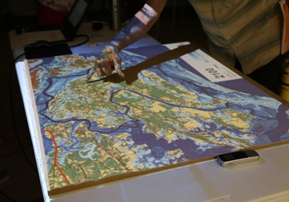
Participatory research is increasingly used to better understand complex social-environmental problems and design solutions through diverse and inclusive stakeholder engagement. A growing number of approaches are helping to foster co-production of knowledge among diverse stakeholders. However, most methods don’t allow stakeholders to directly interact with the models that often drive environmental decision-making. Geospatial participatory modeling (GPM) is an approach that engages stakeholders in co-development and interpretation of models through dynamic geovisualization and simulations. GPM can be used to represent dynamic landscape processes and spatially explicit management scenarios, such as land use change or climate adaptation, enhancing opportunities for co-learning. GPM can provide multiple benefits over non-spatial approaches for participatory research processes, by (a) personalizing connections to problems and their solutions, (b) resolving abstract notions of connectivity, and (c) clarifying the scales of drivers, data, and decision-making authority. An adaptive, iterative process of model development, sharing, and revision can drive innovation of methods, improve model realism or applicability, and build capacity for stakeholders to leverage new knowledge gained from the process. This co-production of knowledge enables participants to more fully understand problems, evaluate the acceptability of trade-offs, and build buy-in for management actions in the places where they live and work.

GS-28 - GIS&T and Community Engagement

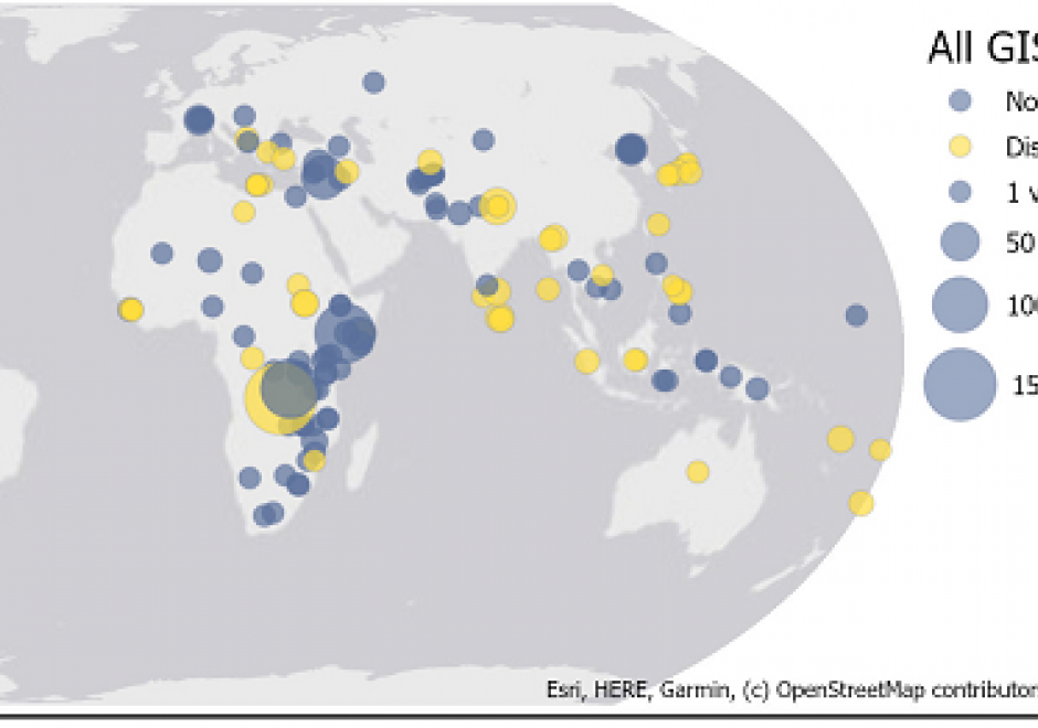
URISA’s GISCorps is a case study in community engagement by members of the GIS&T community, whether for purposes of community service or service learning. Since 2004, GISCorps volunteers have contributed their GIS&T expertise to organizations and communities in need all over the world. In doing so, volunteers make a positive difference to the broader community while gaining experience, developing skills, and expanding professional networks.

GS-27 - GIS&T for Equity and Social Justice

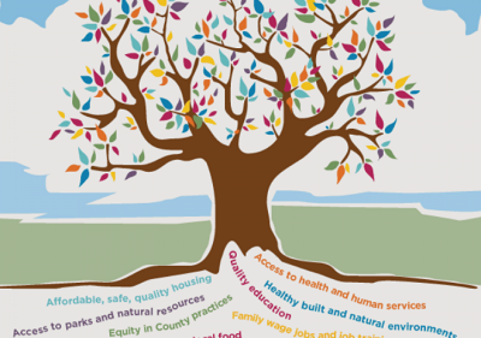
A geographic information system (GIS) can be used effectively for activities, programs, and analyses focused on equity and social justice (ESJ).  Many types of inequities exist in society, but race and space are key predictors of inequity. A key concept of social justice is that any person born into society, no matter where they were born or live, will have an equitable opportunity to achieve successful life outcomes and to thrive. Geographic information science and its technologies (GIS&T) provide powerful tools to analyze equity and social justice issues and help government agencies apply an equity lens to every aspect of their administration. Given the reliance on spatial data to represent and analyze matters of ESJ, the use of these tools is necessary, logical, and appropriate. Some types of analyses and mapping commonly used with ESJ programs require careful attention to how data are combined and represented, risking misleading or false conclusions otherwise. Such outcomes could build mistrust when trust is most needed. A GIS-supported lifecycle for ESJ is presented that includes stages of exploratory issue analysis, community feedback, pro-equity programs analysis, management monitoring and stakeholder awareness, program performance metrics, and effectiveness analysis.

GS-22 - Implications of distributed GIS&T
  • Describe the advantages and disadvantages to an organization in using GIS portal information from other organizations
  • Describe how inter-organization GIS portals may impact or influence issues related to social equity, privacy and data access
  • Discuss how distributed GIS&T may affect the nature of organizations and relationships among institutions
  • Suggest the possible societal and ethical implications of distributed GIS&T
GS-23 - Legal mechanisms for sharing geospatial information
  • Describe contracts, licenses, and other mechanisms for sharing geospatial data
  • Outline the terms of a licensing agreement with a local engineering consulting firm that a manager of a county government GIS office would employ if charged to recoup revenue through sale and licensure of county data
GS-03 - Liability
  • Describe the nature of tort law generally and nuisance law specifically
  • Describe strategies for managing liability risk, including disclaimers and data quality standards
  • Describe cases of liability claims associated with misuse of geospatial information, erroneous information, and loss of proprietary interests
  • Differentiate among contract liability, tort liability, and statutory liability
GS-04 - Location Privacy

How effective is this fence at keeping people, objects, or sensitive information inside or outside? Location Privacy is concerned with the claim of individuals to determine when, how, and to what extent information about themselves and their location is communicated to others. Privacy implications for spatial data are growing in importance with growing awareness of the value of geo-information and the advent of the Internet of Things, Cloud-Based GIS, and Location Based Services.  

In the rapidly changing landscape of GIS and public domain spatial data, issues of location privacy are more important now than ever before. Technological trailblazing tends to precede legal safeguards. The development of GIS tools and the work of the GIS&T research and user community have typically occurred at a much faster rate than the establishment of legislative frameworks governing the use of spatial data, including privacy concerns. Yet even in a collaborative environment that characterizes the GIS&T community, and despite progress made, the issue of location privacy is a particularly thorny one, occurring as it does at the intersection of geotechnology and society.

GS-26 - Mapping Spatial Justice for Marginal Societies

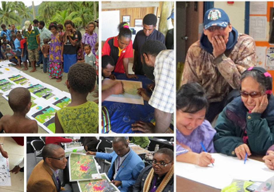
Marginal populations are those populations that are often overlooked by government, dependent upon non-governmental aid, and lack access to basic resources such as water, food, shelter, and security.  However, these groups are increasingly included in partnerships to map their resources (or lack thereof), develop basic applications in geospatial data collection, and devise innovative approaches to participatory mapping using geospatial technologies to address local and regional problems. Rapid technological changes and increased access to mobile geospatial tools enhance data creation efforts to map marginal populations and identify their needs. However, such mapping activities reveal fundamental inequities in collecting, disseminating, and visualizing spatial data.  This chapter defines marginal populations and provides an overview of data needs, geospatial tools, and ethical obligations necessary for these partnerships.

GS-08 - Mechanisms of control of geospatial information
  • Distinguish among the various intellectual property rights, including copyright, patent, trademark, business methods, and other rights
  • Explain how databases may be protected under U.S. copyright law
  • Describe advantages and disadvantages of “open” alternatives to copyright protection, such as the Creative Commons
  • Outline the intellectual property protection clause of a contract that a local government uses to license geospatial data to a community group
  • Explain how maps may be protected under U.S. copyright law
  • Differentiate geospatial information from other works protected under copyright law

Pages