2016 QUARTER 02

A B C D E F G H I K L M N O P R S T U V W
GC5-1 - GA and global solutions
  • Describe the difficulty of finding globally optimal solutions for problems with many local optima
  • Explain how evolutionary algorithms may be used to search for solutions
  • Explain the important advantage that GA methods may offer to find diverse near-optimal solutions
  • Explain how a GA searches for solutions by using selection proportional to fitness, crossover, and (very low levels of) mutation to fitness criteria and crossover mutation to search for a globally optimal solution to a problem
  • Compare and contrast the effectiveness of multiple search criteria for finding the optimal solution with a simple greedy hill climbing approach
CF5-3 - Genealogical relationships: lineage, inheritance
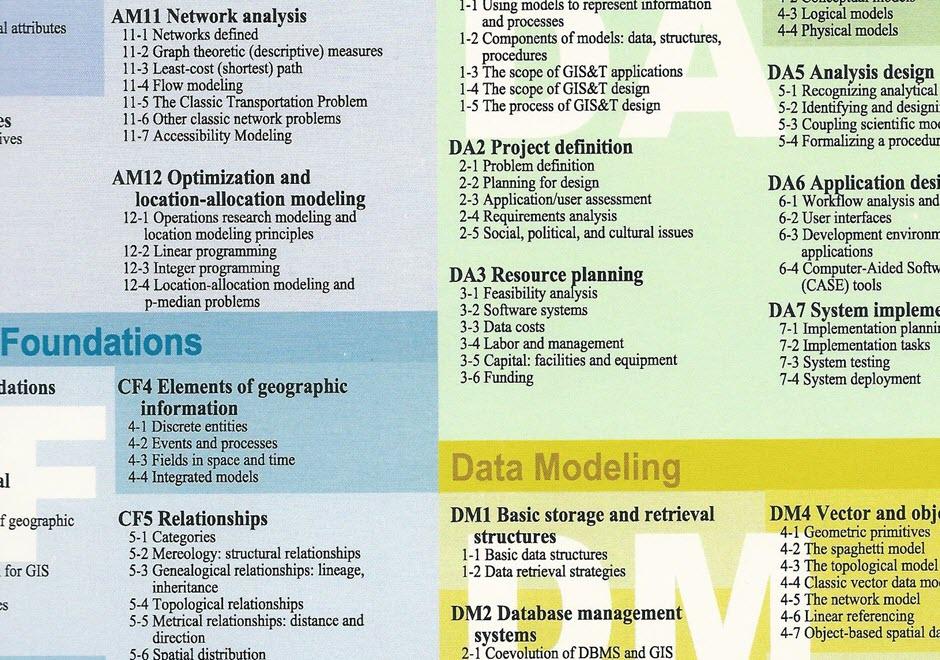
  • Describe ways in which a geographic entity can be created from one or more others
  • Discuss the effects of temporal scale on the modeling of genealogical structures
  • Describe the genealogy (as identity-based change or temporal relationships) of particular geographic phenomena
  • Determine whether it is important to represent the genealogy of entities for a particular application
GC5-2 - Genetic algorithms and artificial genomes
  • Create an artificial genome that can be used in a genetic algorithm to solve a specific problem
  • Describe a cluster in a way that could be represented in a genome
  • Explain how and why the representation of a GA’s chromosome strings can enhance or hinder the effectiveness of the GA
  • Use one of the many freely available GA packages to apply a GA to implement a simple genetic algorithm to a simple problem, such as optimizing the location of one or more facilities or optimizing the selection of habitat for a nature preserve geospatial pattern optimization (such as for finding clusters of disease points)
  • Describe a potential solution for a problem in a way that could be represented in a chromosome and evaluated according to some measure of fitness (such as the total distance everyone travels to the facility or the diversity of plants and animals that would be protected) genome
GD3-1 - Geographic coordinate system
  • Distinguish between various latitude definitions (e.g., geocentric, geodetic, astronomic latitudes)
  • Explain the angular measurements represented by latitude and longitude coordinates
  • Calculate the latitude and longitude coordinates of a given location on the map using the coordinate grid ticks in the collar of a topographic map and the appropriate interpolation formula
  • Mathematically express the relationship between Cartesian coordinates and polar coordinates
  • Calculate the uncertainty of a ground position defined by latitude and longitude coordinates specified in decimal degrees to a given number of decimal places
  • Use GIS software and base data encoded as geographic coordinates to geocode a list of address-referenced locations
  • Locate on a globe the positions represented by latitude and longitude coordinates
  • Write an algorithm that converts geographic coordinates from decimal degrees (DD) to degrees, minutes, seconds (DMS) format
CF2-3 - Geography as a foundation for GIS
  • Define the properties that make a phenomenon geographic
  • Explore the history of geography including (but not limited to) Greek and Roman contributions to geography (Eratosthenes, Strabo, Ptolemy), geography and cartography in the age of discovery, military geography, and geography since the Quantitative Revolution
  • Justify or refute whether geography (as a discipline) should have a central role in GIS&T
  • Discuss the differing denotations and connotations of the terms spatial, geographic, and geospatial
  • Justify a chosen position on which disciplines should have as important a role in GIS&T as geography
  • Describe some insights that a spatial perspective can contribute to a given topic
GD6-1 - Geometric accuracy
  • State the geometric accuracies associated with the various orders of the U.S. horizontal geodetic control network
  • State the approximate number and spacing of control points in each order of the horizontal geodetic control network
  • Explain the factors that influence the geometric accuracy of data produced with Global Positioning System (GPS) receivers
  • Explain the concept of dilution of precision
  • Describe the impact of the concept of dilution of precision on the uncertainty of GPS positioning
  • Explain the principle of differential correction in relation to the Global Positioning System
  • Apply the National Map Accuracy Standard to calculate the accuracy associated with the various USGS topographic map scales
  • Compare the National Map Accuracy Standard with the ASPRS Coordinate Standard
  • In contrast to the National Map Accuracy Standard, explain how the spatial accuracy of a digital road centerlines data set may be evaluated and documented
  • Explain the formula for calculating root mean square error
  • Compare the concepts of geometric accuracy and topological fidelity
  • Describe how geometric accuracy should be documented in terms of the FGDC metadata standard
  • Explain how geometric accuracies associated with the various orders of the U.S. horizontal geodetic control network are assured
DM4-1 - Geometric primitives
  • Identify the three fundamental dimensionalities used to represent points, lines, and areas
  • Describe the data models used to encode coordinates as points, lines, or polygons
  • Critique the assumptions that are made in representing the world as points, lines, and polygons
  • Evaluate the correspondence between geographic phenomena and the shapes used to represent them
GD5-4 - Georegistration
  • Differentiate rectification and orthorectification
  • Identify and explain an equation used to perform image-to-map registration
  • Identify and explain an equation used to perform image-to-image registration
  • Use GIS software to transform a given dataset to a specified coordinate system, projection, and datum
  • Explain the role and selection criteria for “ground control points” (GCPs) in the georegistration of aerial imagery
GC2-5 - Geospatial data classification
  • Compare and contrast the assumptions and performance of parametric and non-parametric approaches to multivariate data classification
  • Describe three algorithms that are commonly used to conduct geospatial data classification
  • Explain the effect of including geospatial contiguity as an explicit neighborhood classification criterion
  • Compare and contrast the results of the neural approach to those obtained using more traditional Gaussian maximum likelihood classification (available in most remote sensing systems)
OI4-2 - GIS&T positions and qualifications
  • Discuss the status of professional and academic certification in GIS&T
  • Identify the standard occupational codes that are relevant to GIS&T
  • Identify the qualifications needed for a particular GIS&T position
  • Discuss how a code of ethics might be applied within an organization
  • Explain why it has been difficult for many agencies and organizations to define positions and roles for GIS&T professionals
  • Describe the differences between licensing, certification, and accreditation in relation to GIS&T positions and qualifications

Pages