2017 QUARTER 01

A B C D E F G H I K L M N O P R S T U V W
CV-11 - Common Thematic Map Types
  • Describe the design considerations for each of the following methods: choropleth, dasymetric, proportioned symbol, graduated symbol, isoline, dot, cartogram, and flow map
  • Evaluate the strengths and limitations of each of the following methods: choropleth, dasymetric, proportioned symbol, graduated symbol, isoline, dot, cartogram, and flow map
  • Explain why choropleth maps should (almost) never be used for mapping count data and suggest alternative methods for mapping count data
  • Choose suitable mapping methods for each attribute of a given type of feature in a GIS (e.g., roads with various attributes such as surface type, traffic flow, number of lanes, direction such as one-way)
  • Select base information suited to providing a frame of reference for thematic map symbols (e.g., network of major roads and state boundaries underlying national population map)
  • Create maps using each of the following methods: choropleth, dasymetric, proportioned symbol, graduated symbol, isoline, dot, cartogram, and flow
  • Create well-designed legends using the appropriate conventions for the following methods: choropleth, dasymetric, proportioned symbol, graduated symbol, isoline, dot, cartogram, and flow
GS-17 - Common-sense geographies
  • Identify common-sense views of geographic phenomena that sharply contrast with established theories and technologies of geographic information
  • Differentiate applications that can make use of common-sense principles of geography from those that should not
  • Collaborate with non-GIS experts who use GIS to design applications that match commonsense understanding to an appropriate degree
  • Effectively communicate the design, procedures, and results of GIS projects to non-GIS audiences (clients, managers, general public)
  • Evaluate the impact of geospatial technologies (e.g., Google Earth) that allow non-geospatial professionals to create, distribute, and map geographic information
AM-50 - Components of models: data, structures, procedures
  • Differentiate the three major parts of a model
  • Describe the mapping from components of the world (and conceptualizations of them) to the components of a model
  • Explain the importance of context in effectively using models
  • Identify the composition of existing models
PD-04 - Computer-Aided Software Engineering (CASE) tools
  • Use CASE tools to design geospatial software
  • Evaluate available CASE tools for their appropriateness for a given development task
DM-34 - Conceptual data models

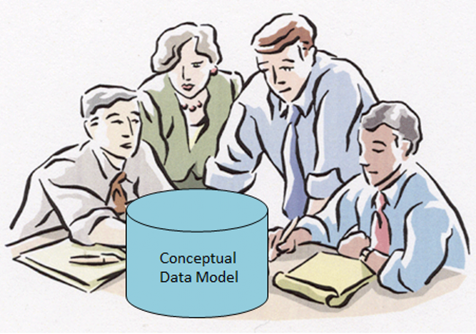
Within an initial phase of database design, a conceptual data model is created as a technology-independent specification of the data to be stored within a database. This specification often times takes the form of a formalized diagram.  The process of conceptual data modeling is meant to foster shared understanding among data modelers and stakeholders when creating the specification.  As such, a conceptual data model should be easily readable by people with little or no technical-computer-based expertise because a comprehensive view of information is more important than a detailed view. In a conceptual data model, entity classes are categories of things (person, place, thing, etc.) that have attributes for describing the characteristics of the things.  Relationships can exist between the entity classes.  Entity-relationship diagrams have been and are likely to continue to be a popular way of characterizing entity classes, attributes and relationships.  Various notations for diagrams have been used over the years. The main intent about a conceptual data model and its corresponding entity-relationship diagram is that they should highlight the content and meaning of data within stakeholder information contexts, while postponing the specification of logical structure to the second phase of database design called logical data modeling. 

DM-58 - Content standards
  • Differentiate between a controlled vocabulary and an ontology
  • Describe a domain ontology or vocabulary (i.e., land use classification systems, surveyor codes, data dictionaries, place names, or benthic habitat classification system)
  • Describe how a domain ontology or vocabulary facilitates data sharing
  • Define “thesaurus” as it pertains to geospatial metadata
  • Describe the primary focus of the following content standards: FGDC, Dublin Core Metadata Initiative, and ISO 19115
  • Differentiate between a content standard and a profile
  • Describe some of the profiles created for the Content Standard for Digital Geospatial Metadata (CSDGM)
GS-02 - Contract law
  • Differentiate “contracts for service” from “contracts of service”
  • Discuss potential legal problems associated with licensing geospatial information
  • Identify the liability implications associated with contracts
AM-61 - Coordinate transformations
  • Cite appropriate applications of several coordinate transformation techniques (e.g., affine, similarity, Molodenski, Helmert)
  • Describe the impact of map projection transformation on raster and vector data
  • Differentiate between polynomial coordinate transformations (including linear) and rubbersheeting
AM-18 - Cost surface
  • Define “friction surface”
  • Apply the principles of friction surfaces in the calculation of least-cost paths
  • Explain how friction surfaces are enhanced by the use of impedance and barriers
GS-18 - Cultural influences
  • Collaborate effectively with colleagues of differing social backgrounds in developing balanced GIS applications
  • Describe the ways in which the elements of culture (e.g., language, religion, education, traditions) may influence the understanding and use of geographic information
  • Recognize the impact of one’s social background on one’s own geographic worldview and perceptions and how it influences one’s use of GIS

Pages