2018 QUARTER 01

A B C D E F G H I K L M N O P R S T U V W
CV-07 - Visual Hierarchy, Layout, and Map Elements
  • List the major factors that should be considered in preparing a map
  • Discuss how to create an intellectual and visual hierarchy on maps
  • Discuss the differences between maps that use the same data but are for different purposes and intended audiences
  • Discuss Tufte’s influence (or lack thereof) on cartographic design
  • Critique the graphic design of several maps in terms of balance, legibility, clarity, visual contrast, figure-ground organization, and hierarchal organization
  • Critique the layout of several maps, taking into account the map audience and purpose and the graphic design (visual balance, hierarchy, figure-ground), as well as the map components (north arrow, scale bar, and legend)
  • Design maps that are appropriate for users with vision limitations
  • Apply one or more Gestalt principles to achieve appropriate figure-ground for map elements
  • Prepare different map layouts using the same map components (main map area, inset maps, titles, legends, scale bars, north arrows, grids, and graticule) to produce maps with very distinctive purposes
  • Prepare different maps using the same data for different purposes and intended audiences (e.g., expert and novice hikers)
  • Describe differences in design needed for a map that is to be viewed on the Internet versus as a 5-by 7-foot poster, including a discussion of the effect of viewing distance, lighting, and media type
  • Describe the design needs of special purpose maps, such as subdivision plans, cadastral mapping, drainage plans, nautical charts, aeronautical charts, geological maps, military maps, wiremesh volume maps, and 3-D plans of urban change
CP-14 - Web GIS

Web GIS allows the sharing of GIS data, maps, and spatial processing across private and public computer networks. Understanding web GIS requires learning the roles of client and server machines and the standards and protocols around how they communicate to accomplish tasks. Cloud computing models have allowed web-based GIS operations to be scaled out to handle large jobs, while also enabling the marketing of services on a per-transaction basis.

A variety of toolkits allow the development of GIS-related websites and mobile apps. Some web GIS implementations bring together map layers and GIS services from multiple locations. In web environments, performance and security are two concerns that require heightened attention. App users expect speed, achievable through caching, indexing, and other techniques. Security precautions are necessary to ensure sensitive data is only revealed to authorized viewers.

Many organizations have embraced the web as a way to openly share spatial data at a relatively low cost. Also, the web-enabled expansion of spatial data production by nonexperts (sometimes known as “neogeography”) offers a rich field for alternative mappings and critical study of GIS and society.

CV-15 - Web Mapping

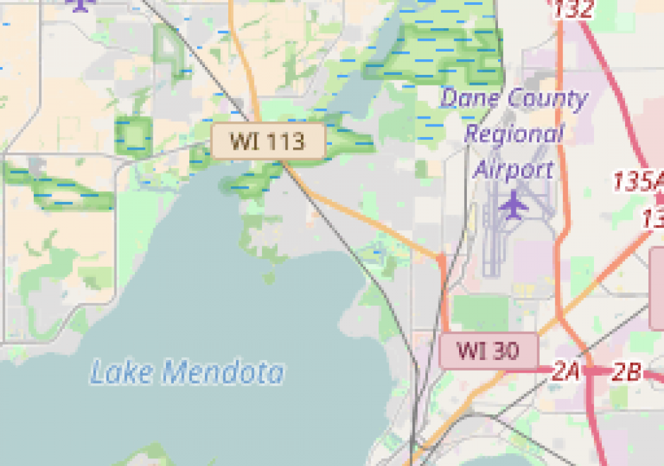
As internet use has grown, many paper maps have been scanned and published online, and new maps have increasingly been designed for viewing in a web browser or mobile app. Web maps may be static or dynamic, and dynamic maps may either be animated or interactive. Tiled web maps are interactive maps that use tiled images to allow for fast data loading and smooth interaction, while vector web maps support rendering a wide variety of map designs on the client. Web maps follow a client-server architecture, with specialized map servers sometimes used to publish data and maps as geospatial web services. Web maps are composed of data from a database or file on the server, style information rendered on either server or client, and optionally animation or interaction instructions executed on the client. Several graphic web platforms provide user-friendly web mapping solutions, while greater customization is possible through the user of commercial or open source web mapping APIs. When designing web maps, cartographers should consider the map’s purpose on a continuum from exploratory and highly interactive to thematic and less interactive or static, the constraints of desktop and/or mobile web contexts, and accessibility for disabled, elderly, and poorly connected users.

AM-89 - Weighting schemes
  • Evaluate a fuzzy weighting scheme in terms of uncertainty and error propagation
AM-55 - Workflow analysis and design
  • Compare and contrast various methods for modeling workflows, including narratives, flowcharts, and UML
  • Compare and contrast the relative merits of various software design methods, including traditional procedural designs, object-oriented design, the Rational Unified Process, Extreme Programming, and the Unified Software Development Process
  • Transform traditional workflows into computer-assisted workflows leveraging geospatial technologies to an appropriate degree
  • Discuss the degree to which structured and unstructured tasks can be automated
  • Differentiate between structured and unstructured tasks

Pages