2018 QUARTER 02

A B C D E F G H I K L M N O P R S T U V W
DA-24 - GIS&T and Marketing

Marketing is about communicating, delivering, and exchanging goods and services that are desired by customers, clients, and the public alike. They identify the groups the enterprise is striving to serve, developing offerings which match their needs, and establishing exchange relationships which satisfy those needs while accomplishing enterprise objectives of profit, service and/or social impact. Marketers use their planning processes to scan the relevant environment for opportunities, select target markets with unmet or insufficiently met needs, and design marketing mix strategies to serve them. In all of these activities, the qualitative and quantitative measures of location and geography are key.  Delivery of marketing mix strategies relies on tasks such as marketing research, market segmentation and customer profiling, all of which GIS supports.  In addition, specialized marketing functions and emerging technologies also benefit from location analytics resources. 

FC-31 - Academic origins
  • Identify the key academic disciplines that contributed to the development of GIS&T
  • Evaluate the role that the Quantitative Revolution in geography played in the development of GIS
  • Describe the major research foci in GIS and related fields in the 1970s, 1980s, 1990s, and 2000s
  • Evaluate the importance of the NCGIA and UCGIS in coalescing GIScience as a sub-field of GIS&T
  • Discuss the contributions of early academic centers of GIS&T research and development (e.g., Harvard Laboratory for Computer Graphics, UK Experimental Cartography Unit)
AM-81 - Adaptive agents
  • Describe different approaches to represent the effects of agent adaptation in the context of a specific agent-based model
  • Explain the effects of agent adaptation in the context of a specific agent-based model 
FC-18 - Adjacency and connectivity
  • List different ways connectivity can be determined in a raster and in a polygon dataset
  • Explain the nine-intersection model for spatial relationships
  • Demonstrate how adjacency and connectivity can be recorded in matrices
  • Calculate various measures of adjacency in a polygon dataset
  • Create a matrix describing the pattern of adjacency in a set of planar enforced polygons
  • Describe real world applications where adjacency and connectivity are a critical component of analysis
DM-64 - Adoption of standards
  • Compare and contrast the impact effect of time for developing consensus-based standards with immediate operational needs
  • Explain how a business case analysis can be used to justify the expense of implementing consensus-based standards
  • Identify organizations that focus on developing standards related to GIS&T
  • Identify standards that are used in GIS&T
  • Explain how resistance to change affects the adoption of standards in an organization coordinating a GIS
DC-12 - Aerial photography image interpretation
  • Use photo interpretation keys to interpret features on aerial photographs
  • Calculate the nominal scale of a vertical aerial image
  • Calculate heights and areas of objects and distances between objects shown in a vertical aerial image
  • Produce a map of land use/land cover classes using a vertical aerial image
  • Describe the elements of image interpretation
KE-16 - Agency, organizational, and individual perspectives
  • Describe perspectives on the nature and scope of system benefits among agency officials, organizational personnel, and citizens
  • Discuss implications of unequal economic power on the kinds of organizations that use, and benefit from, GIS&T
AM-79 - Agent-based Modeling

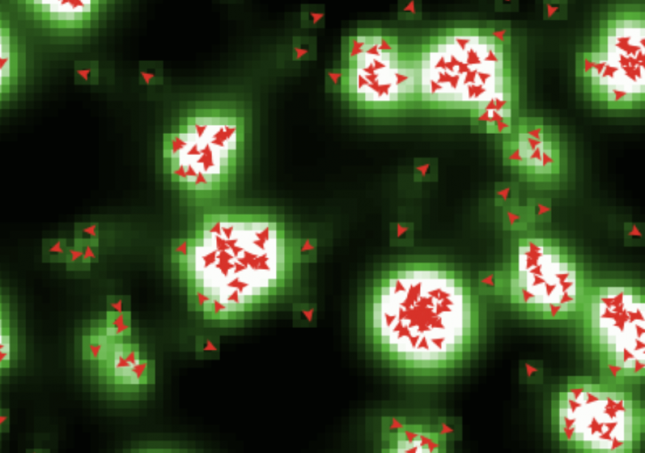
Agent-based models are dynamic simulation models that provide insight into complex geographic systems. Individuals are represented as agents that are encoded with goal-seeking objectives and decision-making behaviors to facilitate their movement through or changes to their surrounding environment. The collection of localized interactions amongst agents and their environment over time leads to emergent system-level spatial patterns. In this sense, agent-based models belong to a class of bottom-up simulation models that focus on how processes unfold over time in ways that produce interesting, and at times surprising, patterns that we observe in the real world.

GS-20 - Aggregation of spatial entities
  • Demonstrate the relationship between district size (resolution/support) and patterns in aggregate data
  • Demonstrate how changing the geometry of regions changes the data values (e.g., voting patterns before and after redistricting)
  • Discuss the potential pitfalls of using regions to aggregate geographic information (e.g., census data)
  • Explain the nature and causes of the Modifiable Areal Unit Problem (MAUP)
  • Attempt to design aggregation regions that overcome MAUP
  • Discuss the conditions that require individual spatial entities to be aggregated (e.g., privacy, security, proprietary interests, data simplification)
  • Summarize the attributes of individuals within regions using spatial joins
DC-18 - Algorithms and processing
  • Differentiate supervised classification from unsupervised classification
  • Describe the sequence of tasks involved in the geometric correction of the Advanced Very High Resolution Radiometer (AVHRR) Global Land Dataset
  • Compare pixel-based image classification methods with segmentation techniques
  • Explain how to enhance contrast of reflectance values clustered within a narrow band of wavelengths
  • Describe an application of hyperspectral image data
  • Produce pseudocode for common unsupervised classification algorithms, including chain method, ISODATA method, and clustering
  • Calculate a set of filtered reflectance values for a given array of reflectance values and a digital image filtering algorithm
  • Describe a situation in which filtered data are more useful than the original unfiltered data
  • Perform a manual unsupervised classification given a two-dimensional array of reflectance values and ranges of reflectance values associated with a given number of land cover categories

Pages