FC-21 - Resolution
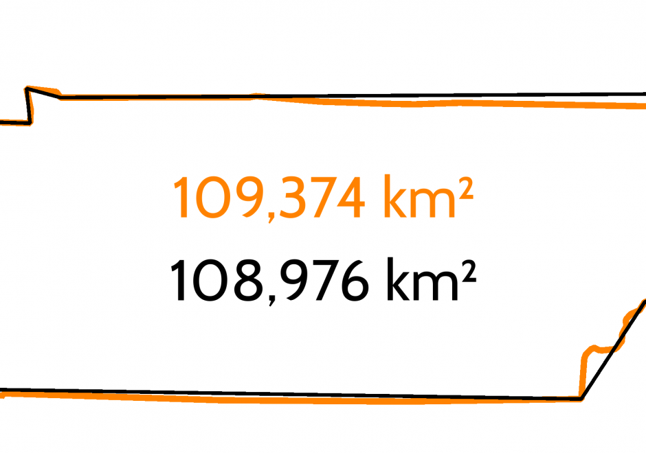
- Illustrate and explain the distinction between resolution, precision, and accuracy
- Discuss the implications of the sampling theorem (? = 0.5 d) to the concept of resolution
- Differentiate among the spatial, spectral, radiometric, and temporal resolution of a remote sensing instrument
- Explain how resampling affects the resolution of image data
- Discuss the advantages and potential problems associated with the use of minimum mapping unit (MMU) as a measure of the level of detail in land use, land cover, and soils maps
- Illustrate and explain the distinctions between spatial resolution, thematic resolution, and temporal resolution
- Illustrate the impact of grid cell resolution on the information that can be portrayed
- Relate the concept of grid cell resolution to the more general concept of “support” and granularity
- Evaluate the implications of changing grid cell resolution on the results of analytical applications by using GIS software
- Evaluate the ease of measuring resolution in different types of tessellations


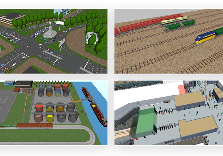
KE-05 - Requirements analysis