CV-05 - Statistical Mapping (Enumeration, Normalization, Classification)
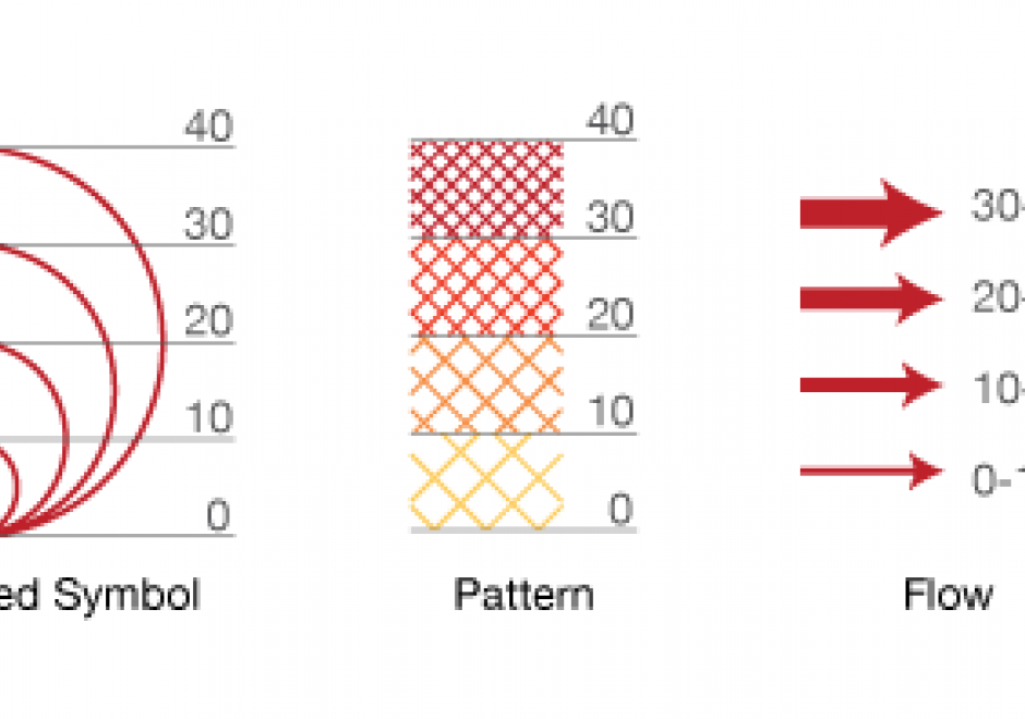
Proper communication of spatial distributions, trends, and patterns in data is an important component of a cartographers work. Geospatial data is often large and complex, and due to inherent limitations of size, scalability, and sensitivity, cartographers are often required to work with data that is abstracted, aggregated, or simplified from its original form. Working with data in this manner serves to clarify cartographic messages, expedite design decisions, and assist in developing narratives, but it also introduces a degree of abstraction and subjectivity in the map that can make it easy to infer false messages from the data and ultimately can mislead map readers. This entry introduces the core topics of statistical mapping around cartography. First, we define enumeration and the aggregation of data to units of enumeration. Next, we introduce the importance of data normalization (or standardization) to more truthfully communicate cartographically and, lastly, discuss common methods of data classification and how cartographers bin data into groups that simplify communication.



PD-17 - SQL Languages for GIS
SQL (Structured Query Language) is a declarative programming language that is closely linked to the relational database model. It is an accessible and widely adopted language used for query, data modification, and data definition—that is, defining data structures (tables) and other database objects. Important additions to the SQL standard include SQL/PSM, which adds control flow, local variables, and other procedural language features; and SQL/MM Part 3, which adds spatial support. Many complex geoprocessing workflows typically implemented in desktop GIS or scripting languages can easily be implemented in spatial SQL.