2020 QUARTER 01

A B C D E F G H I K L M N O P R S T U V W
DM-30 - Vagueness
  • Compare and contrast the meanings of related terms such as vague, fuzzy, imprecise, indefinite, indiscrete, unclear, and ambiguous
  • Describe the cognitive processes that tend to create vagueness
  • Recognize the degree to which vagueness depends on scale
  • Evaluate vagueness in the locations, time, attributes, and other aspects of geographic phenomena
  • Differentiate between the following concepts: vagueness and ambiguity, well defined and poorly defined objects and fields, and discord and non-specificity
  • Identify the hedges used in language to convey vagueness
  • Evaluate the role that system complexity, dynamic processes, and subjectivity play in the creation of vague phenomena and concepts
  • Differentiate applications in which vagueness is an acceptable trait from those in which it is unacceptable
KE-27 - Value of Professional Geospatial Organizations

There are a great many professional associations in the geospatial sector.  They provide a great deal of value to the geospatial community and professionals working in that community.  The value can be described in terms of professional development, technological and organizational advancement, advocacy, governance, and leadership.  The following text explains the various ways in which professional associations provide value to the community.

KE-14 - Valuing and measuring benefits
  • Distinguish between operational, organizational, and societal activities that rely upon geospatial information
  • Describe the potential benefits of geospatial information in terms of efficiency, effectiveness, and equity
  • Explain how cost-benefit analyses can be manipulated
  • Compare and contrast the evaluation of benefits at different scales (e.g., national, regional/state, local)
  • Identify practical problems in defining and measuring the value of geospatial information in land or other business decisions
DC-14 - Vector data extraction
  • Describe the source data, instrumentation, and workflow involved in extracting vector data (features and elevations) from analog and digital stereoimagery
  • Discuss future prospects for automated feature extraction from aerial imagery
  • Discuss the extent to which vector data extraction from aerial stereoimagery has been automated
CV-03 - Vector Formats and Sources

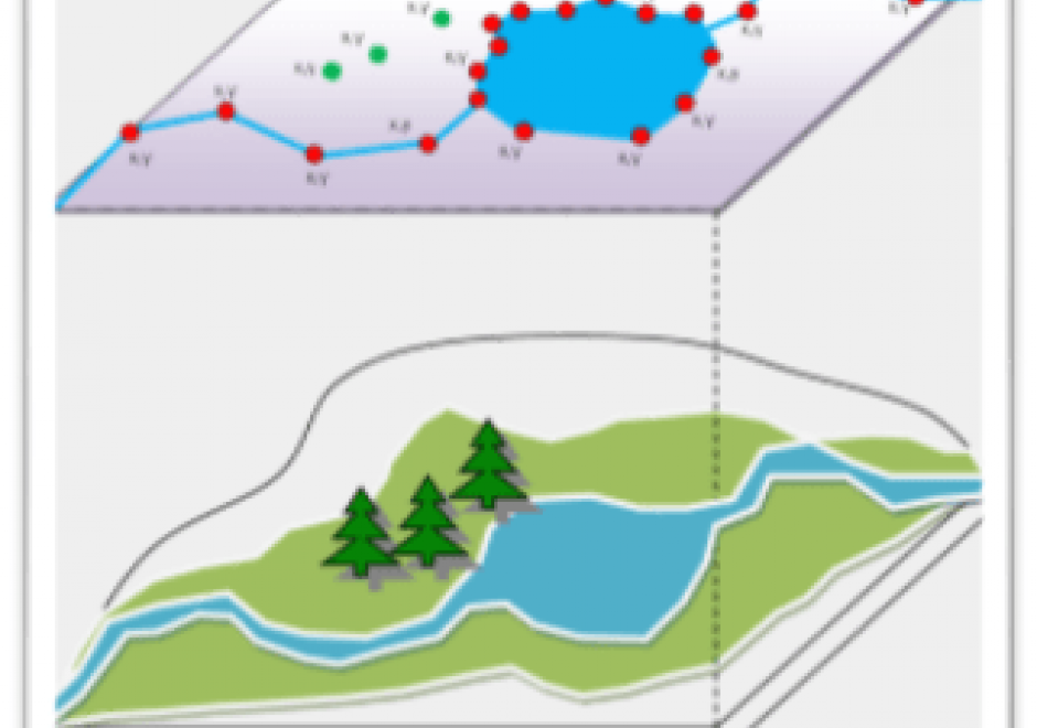
In the last ten years, the rise of efficient computing devices with significant processing power and storage has caused a surge in digital data collection and publication. As more software programs and hardware devices are released, we are not only seeing an increase in available data, but also an increase in available data formats. Cartographers today have access to a wide range of interesting datasets, and online portals for downloading geospatial data now frequently offer that data in several different formats. This chapter provides information useful to modern cartographers working with vector data, including an overview of common vector data formats (e.g. shapefile, GeoJSON, file geodatabase); their relative benefits, idiosyncrasies, and limitations; and a list of popular sources for geospatial vector data (e.g. United States Census Bureau, university data warehouses).

AM-59 - Vector-to-raster and raster-to-vector conversions
  • Explain how the vector/raster/vector conversion process of graphic images and algorithms takes place and how the results are achieved
  • Create estimated tessellated data sets from point samples or isolines using interpolation operations that are appropriate to the specific situation
  • Illustrate the impact of vector/raster/vector conversions on the quality of a dataset
  • Convert vector data to raster format and back using GIS software
DM-51 - Vertical datums
  • Explain how a vertical datum is established
  • Differentiate between NAVD 29 and NAVD 88
  • Illustrate the difference between a vertical datum and a geoid
  • Illustrate the relationship among the concepts ellipsoidal (or geodetic) height, geoidal height, and orthometric elevation
  • Outline the historical development of vertical datums
CV-16 - Virtual and immersive environments
  • Discuss the nature and use of virtual environments, such as Google Earth
  • Explain how various data formats and software and hardware environments support immersive visualization
  • Compare and contrast the relative advantages of different immersive display systems used for cartographic visualization (e.g., CAVEs, GeoWalls)
  • Evaluate the extent to which a GeoWall or CAVE does or does not enhance understanding of spatial data
  • Explain how the virtual and immersive environments become increasingly more complex as we move from the relatively non-immersive VRML desktop environment to a stereoscopic display (e.g., a GeoWall) to a more fully immersive CAVE
CV-07 - Visual Hierarchy and Layout

Mapmaking, by digital or manual methods, involves taking complex geographic information and building a visual image with many components. Creating effective maps requires an understanding of how to construct the elements of the map into a coherent whole that executes the communicative purpose of the map. Visual hierarchy and layout are the cartographer’s tools for organizing the map and completing the map construction. The cartographer layers the mapped geography in an image into a visual hierarchy emphasizing some features and de-emphasizing others in vertical ordering of information. Likewise, the cartographer arranges the components of a map image—title, main map, inset map, north arrow, scale, legend, toolbar, etc.—into a layout that guides the reader’s eye around the horizontal plane of the map. The visual hierarchy and layout processes work together to create the structure of the map image.

PD-28 - Visual Programming for GIS Applications

Visual programming languages (VPLs) in GIS applications are used to design the automatic processing of spatial data in an easy visual form. The resulted visual workflow is useful when the same processing steps need to be repeated on different spatial data (e.g. other areas, another period). In the case of visual programming languages, simple graphical symbols represent spatial operations implemented in GIS software (tools, geoalgorithms). Users can create a sequence of operation in a simple visual form, like a chain of graphical symbols. Visual programs can be stored and reused. The graphical form is useful to non-programmers who are not familiar with a textual programming language, as is the case with many professionals such as urban planners, facility managers, ecologists and other users of GIS. VPLs are implemented not only in GIS applications but also in remote sensing (RS) applications. Sometimes both types of applications are bundled together in one geospatial application that offers geoalgorithms in a shared VPL environment. Visual programming languages are an integral part of software engineering (SE). Data flow and workflow diagrams are one of the oldest graphical representations in informatics.