2020 QUARTER 03

A B C D E F G H I J K L M N O P R S T U V W
AM-14 - Spatial process models
  • Discuss the relationship between spatial processes and spatial patterns
  • Differentiate between deterministic and stochastic spatial process models
  • Describe a simple process model that would generate a given set of spatial patterns
FC-13 - Spatial queries
  • Demonstrate the syntactic structure of spatial and temporal operators in SQL
  • State questions that can be solved by selecting features based on location or spatial relationships
  • Construct a query statement to search for a specific spatial or temporal relationship
  • Construct a spatial query to extract all point objects that fall within a polygon
  • Compare and contrast attribute query and spatial query
AM-26 - Spatial sampling for statistical analysis
  • List and describe several spatial sampling schemes and evaluate each one for specific applications
  • Differentiate between model-based and design-based sampling schemes
  • Design a sampling scheme that will help detect when space-time clusters of events occur
  • Create spatial samples under a variety of requirements, such as coverage, randomness, and transects
  • Describe sampling schemes for accurately estimating the mean of a spatial data set
PD-18 - SpatialMPI: Message Passing Interface for GIS Applications

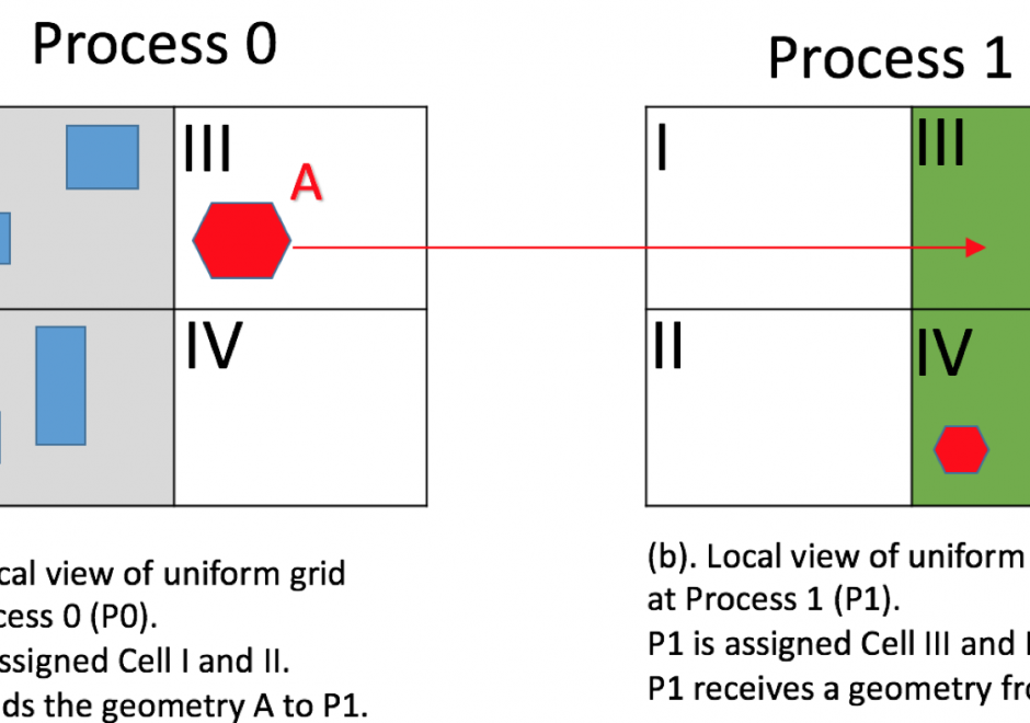
MPI (Message Passing Interface) is a widely used message passing library for writing parallel programs. The goal of MPI is to establish a portable, efficient, and flexible standard for message passing that will be widely used for writing message passing programs. This chapter motivates the need for using MPI for implementing GIS applications and introduces MPI data types and communication functions. Then, it presents new spatial data types and operations on them using MPI. Finally, it presents pseudocode for parallelizing a range query problem and spatial domain decomposition in GIS.

DM-18 - Spatio-temporal GIS
  • Describe extensions to relational DBMS to represent temporal change in attributes
  • Evaluate the advantages and disadvantages of existing space-time models based on storage efficiency, query performance, ease of data entry, and ability to implement in existing software
  • Create a GIS database that models temporal information
  • Utilize two different space-time models to characterize a given scenario, such as a daily commute
  • Describe the architecture of data models (both field and object based) to represent spatio-temporal phenomena
  • Differentiate the two types of temporal information to be modeled in databases: database (or transaction) time and valid (or world) time
  • Identify whether it is important to represent temporal change in a particular GIS application
  • Describe SQL extensions for querying temporal change
CV-17 - Spatiotemporal Representation

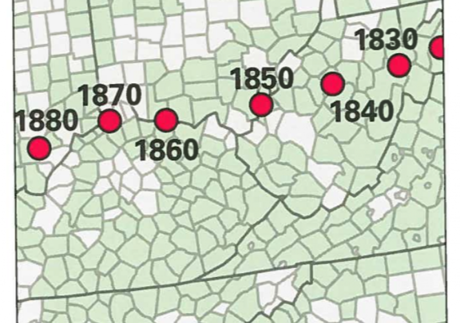
Space and time are integral components of geographic information. There are many ways in which to conceptualize space and time in the geographic realm that stem from time geography research in the 1960s. Cartographers and geovisualization experts alike have grappled with how to represent spatiotemporal data visually. Four broad types of mapping techniques allow for a variety of representations of spatiotemporal data: (1) single static maps, (2) multiple static maps, (3) single dynamic maps, and (4) multiple dynamic maps. The advantages and limitations of these static and dynamic methods are discussed in this entry. For cartographers, identifying the audience and purpose, medium, available data, and available time to design the map are vital aspects to deciding between the different spatiotemporal mapping techniques. However, each of these different mapping techniques offers its own advantages and disadvantages to the cartographer and the map reader. This entry focuses on the mapping of time and spatiotemporal data, the types of time, current methods of mapping, and the advantages and limitations of representing spatiotemporal data.

PD-17 - SQL Languages for GIS

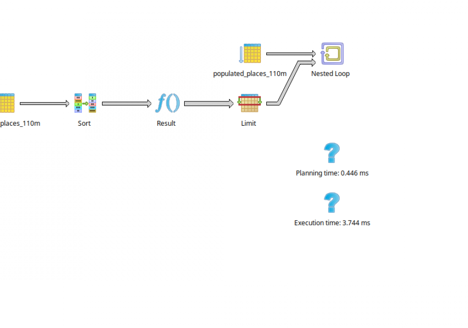
SQL (Structured Query Language) is a declarative programming language that is closely linked to the relational database model. It is an accessible and widely adopted language used for query, data modification, and data definition—that is, defining data structures (tables) and other database objects. Important additions to the SQL standard include SQL/PSM, which adds control flow, local variables, and other procedural language features; and SQL/MM Part 3, which adds spatial support. Many complex geoprocessing workflows typically implemented in desktop GIS or scripting languages can easily be implemented in spatial SQL.

CV-05 - Statistical Mapping (Enumeration, Normalization, Classification)

Proper communication of spatial distributions, trends, and patterns in data is an important component of a cartographers work. Geospatial data is often large and complex, and due to inherent limitations of size, scalability, and sensitivity, cartographers are often required to work with data that is abstracted, aggregated, or simplified from its original form. Working with data in this manner serves to clarify cartographic messages, expedite design decisions, and assist in developing narratives, but it also introduces a degree of abstraction and subjectivity in the map that can make it easy to infer false messages from the data and ultimately can mislead map readers. This entry introduces the core topics of statistical mapping around cartography. First, we define enumeration and the aggregation of data to units of enumeration. Next, we introduce the importance of data normalization (or standardization) to more truthfully communicate cartographically and, lastly, discuss common methods of data classification and how cartographers bin data into groups that simplify communication.

DC-13 - Stereoscopy and orthoimagery
  • Explain the relevance of the concept “parallax” in stereoscopic aerial imagery
  • Evaluate the advantages and disadvantages of photogrammetric methods and LiDAR for production of terrain elevation data
  • Specify the technical components of an aerotriangulation system
  • Outline the sequence of tasks involved in generating an orthoimage from a vertical aerial photograph
KE-03 - Strategic Planning for GIS Design

Geographic Information Systems (GIS) are pervasive and have become an essential feature in many professional disciplines. Prior to adoption, implementation or use of any GIS, a system must be properly designed to meet its organizational goals, and this requires comprehensive strategic planning to take place ahead of the design. In this article, we discuss methods for strategic planning in GIS design, drawing from literature in Information Systems and GIS research and practice, and business management. We present a four-step approach toward planning for GIS design that will ensure the system is well-suited to further an organization’s long-term functions, applications, and users’ needs.

Pages