DA-05 - GIS&T and Local Government
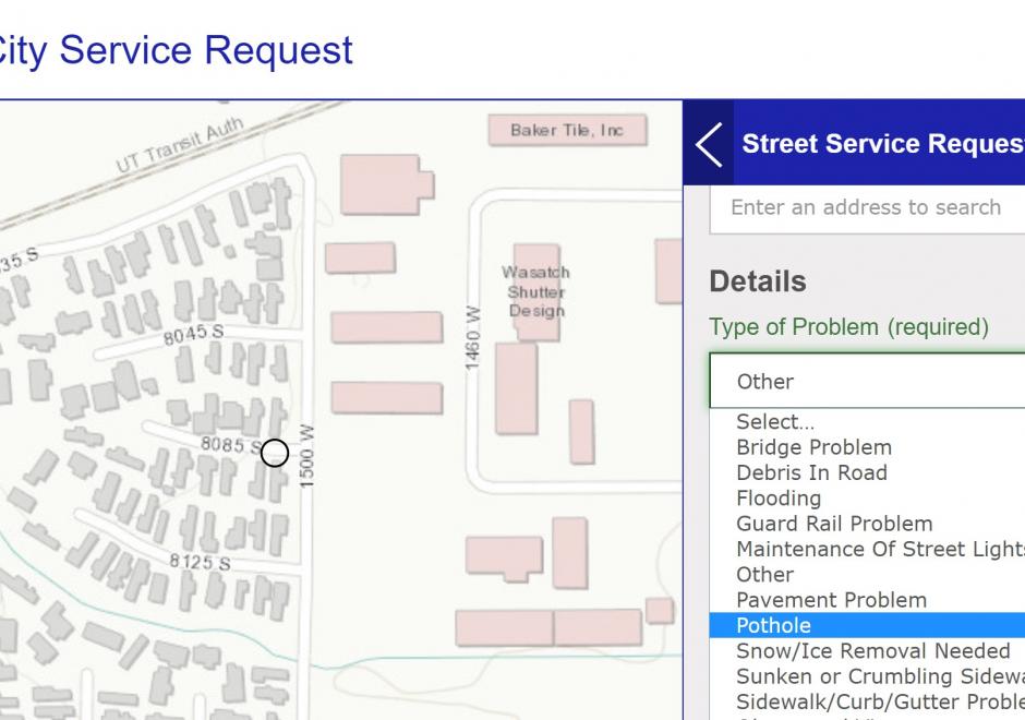
GIS is an important tool for local governments. It is utilized to provide spatial information, metrics, and visualizations to constituents, businesses, and decision-makers. Internally, a well-managed GIS can be the basis for innovation and process improvement and can be a single source for employees to find a plethora of integrated data. This entry discusses how GIS supports local government, important considerations for maintaining a successful local government GIS, and current trends. This entry is based on the author’s experience in a GIS program at a medium-sized city in the Rocky Mountain Region of the United States. Not everything discussed may apply to other areas of the country or world. Additionally, smaller-sized programs may not have the resources to implement everything discussed. The key purpose of this entry is to provide students and instructors with tangible examples of processes, skills, and organizational structures that make for an effective local government GIS.




DA-31 - GIS&T and Libraries, Archives, and Museums
Libraries, archives, and museums (LAMs) are an important part of the GIS&T ecosystem and they engage in numerous activities that are critical for students, researchers, and practitioners. Traditionally these organizations have been at the forefront of developing infrastructures and services that connect researchers and others to historical and contemporary GIS data, including print maps. More recently, as a result of greater interest in spatial thinking and research, these organizations and institutions have become a place for instruction, outreach, and practice. This entry will discuss the historical role that LAMs have played in supporting and developing GIS&T as well as focus on current trends.