GS-29 - GIS Participatory Modeling
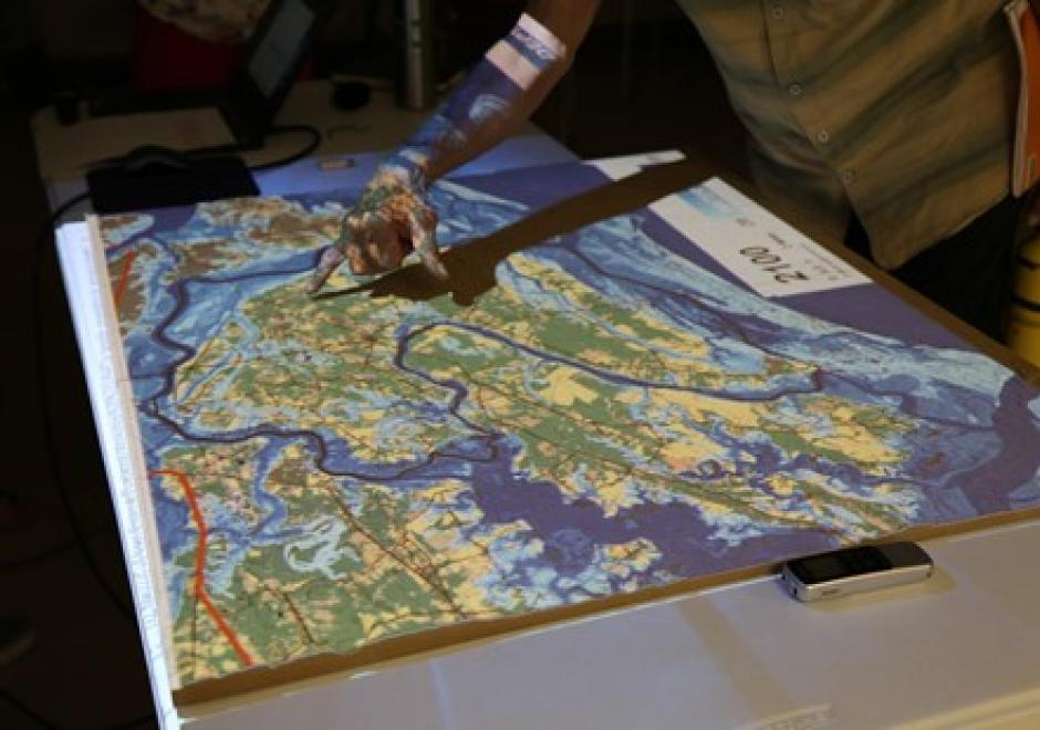
Participatory research is increasingly used to better understand complex social-environmental problems and design solutions through diverse and inclusive stakeholder engagement. A growing number of approaches are helping to foster co-production of knowledge among diverse stakeholders. However, most methods don’t allow stakeholders to directly interact with the models that often drive environmental decision-making. Geospatial participatory modeling (GPM) is an approach that engages stakeholders in co-development and interpretation of models through dynamic geovisualization and simulations. GPM can be used to represent dynamic landscape processes and spatially explicit management scenarios, such as land use change or climate adaptation, enhancing opportunities for co-learning. GPM can provide multiple benefits over non-spatial approaches for participatory research processes, by (a) personalizing connections to problems and their solutions, (b) resolving abstract notions of connectivity, and (c) clarifying the scales of drivers, data, and decision-making authority. An adaptive, iterative process of model development, sharing, and revision can drive innovation of methods, improve model realism or applicability, and build capacity for stakeholders to leverage new knowledge gained from the process. This co-production of knowledge enables participants to more fully understand problems, evaluate the acceptability of trade-offs, and build buy-in for management actions in the places where they live and work.



FC-10 - GIS Data Properties
Data properties are characteristics of GIS attribute systems and values whose design and format impacts analytical and computational processing. Geospatial data are expressed at conceptual, logical, and physical levels of database abstraction intended to represent geographical information. The appropriate design of attribute systems and selection of properties should be logically consistent and support appropriate scales of measurement for representation and analysis. Geospatial concepts such as object-field views and dimensional space for relating objects and qualities form data models based on a geographic matrix and feature geometry. Three GIS approaches and their attribute system design are described: tessellations, vectors, and graphs.