CV-42 - Collaborative Cartography
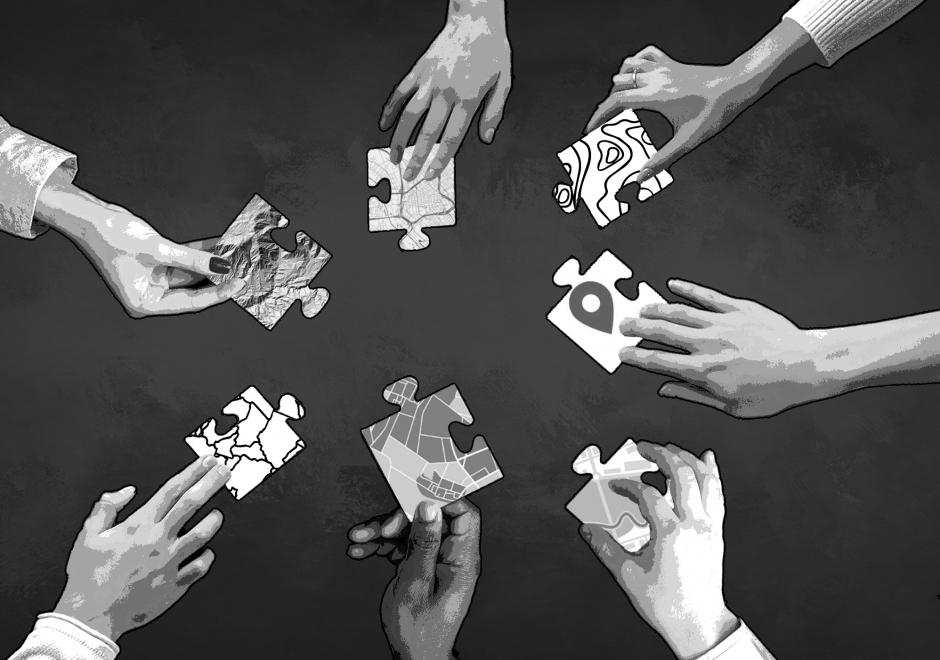
Collaborative cartography is a newly emerging approach for engaging community-centered processes of map production to represent harm caused by oppressive systems and pathways for healed futures. While mapping has a long history of engagement in activist movements, community involvement is often segmented to considerations determining the topic of the map and the subsequent supporting data-collection/validation processes. Collaborative cartography, however, ensures that communities are also central to discussions around and implementation of the design of the map. While the cartographic processes may differ from those of a professional cartographer, the term cartography and cartographer are used (rather than mapping or mapmaker) to indicate the close attention to design this technique facilitates. A collaborative cartographer commits to work that supports community control, embraces multiple forms of knowledge, and engages in non-linear and iterative process. These three key elements work together to support the production of a map whose standards of effectiveness are defined specifically by the needs, desires, and goals of those who produced it. This may lead to the creation of maps that fall outside of traditional expectations of cartographic design, aesthetic, and function. However, such creative ruptures are considered a necessary aspect in the pursuit of community empowerment and liberation.


AM-09 - Classification and Clustering
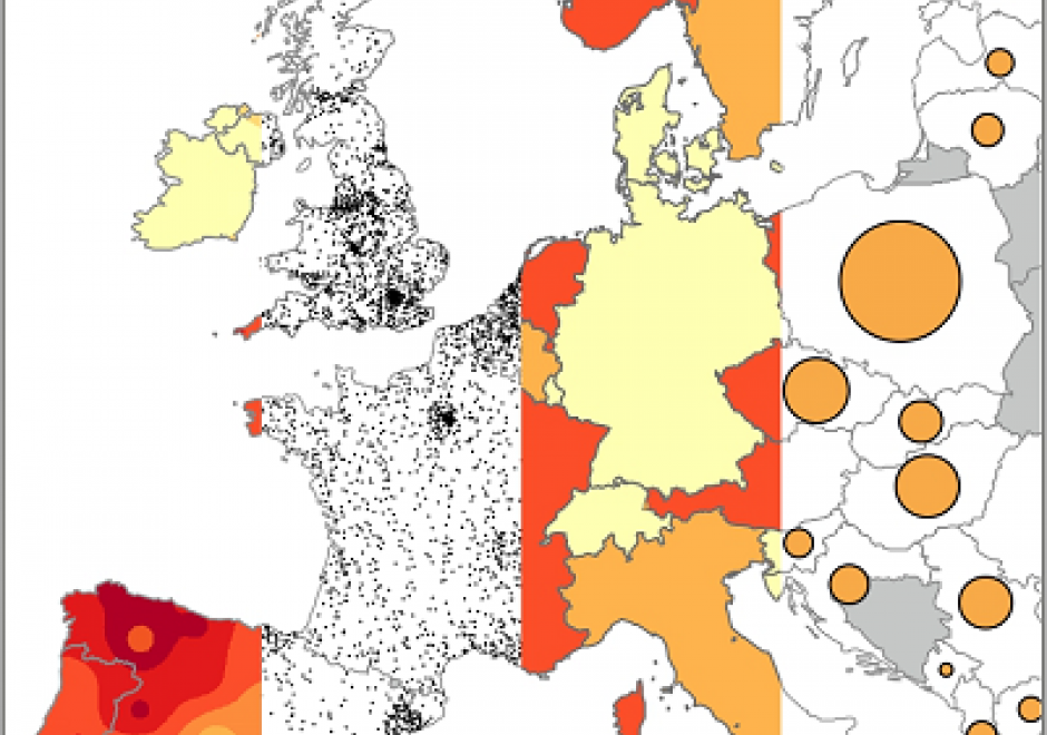
Classification and clustering are often confused with each other, or used interchangeably. Clustering and classification are distinguished by whether the number and type of classes are known beforehand (classification), or if they are learned from the data (clustering). The overarching goal of classification and clustering is to place observations into groups that share similar characteristics while maximizing the separation of the groups that are dissimilar to each other. Clusters are found in environmental and social applications, and classification is a common way of organizing information. Both are used in many areas of GIS including spatial cluster detection, remote sensing classification, cartography, and spatial analysis. Cartographic classification methods present a simplified way to examine some classification and clustering methods, and these will be explored in more depth with example applications.