2022 QUARTER 03

A B C D E F G H I J K L M N O P R S T U V W
PD-13 - GPU Programming for GIS Applications

Graphics processing units (GPUs) are massively parallel computing environments with applications in graphics and general purpose programming. This entry describes GPU hardware, application domains, and both graphics and general purpose programming languages.

CP-06 - Graphics Processing Units (GPUs)
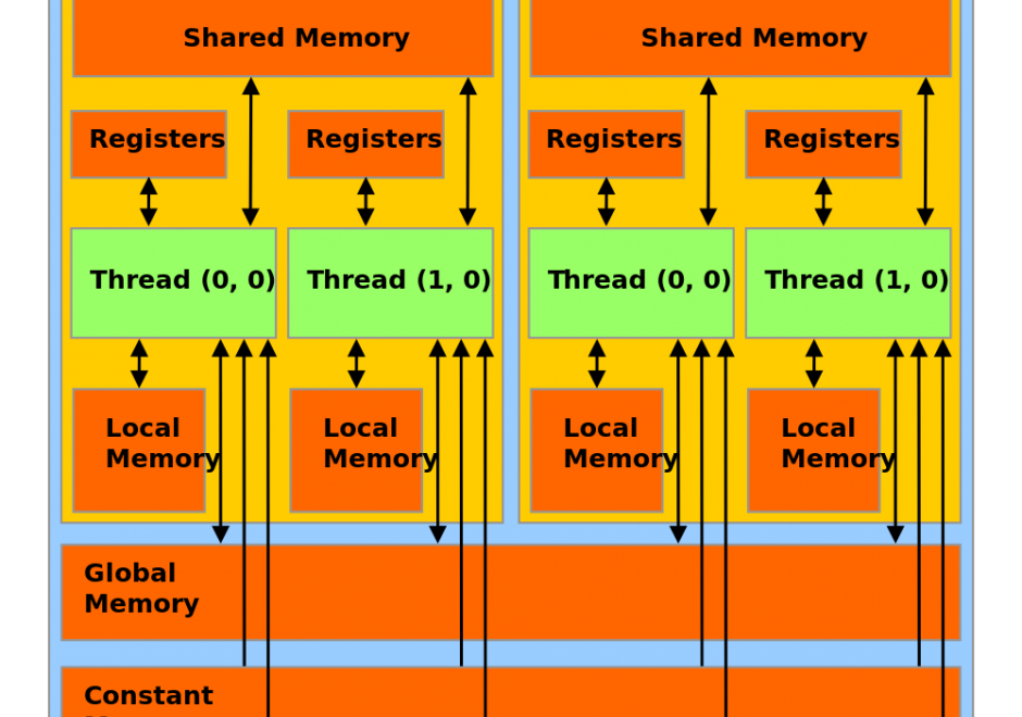
Graphics Processing Units (GPUs) represent a state-of-the-art acceleration technology for general-purpose computation. GPUs are based on many-core architecture that can deliver computing performance much higher than desktop computers based on Central Processing Units (CPUs). A typical GPU device may have hundreds or thousands of processing cores that work together for massively parallel computing. Basic hardware architecture and software standards that support the use of GPUs for general-purpose computation are illustrated by focusing on Nvidia GPUs and its software framework: CUDA. Many-core GPUs can be leveraged for the acceleration of spatial problem-solving.  

AM-06 - Grid Operations and Map Algebra

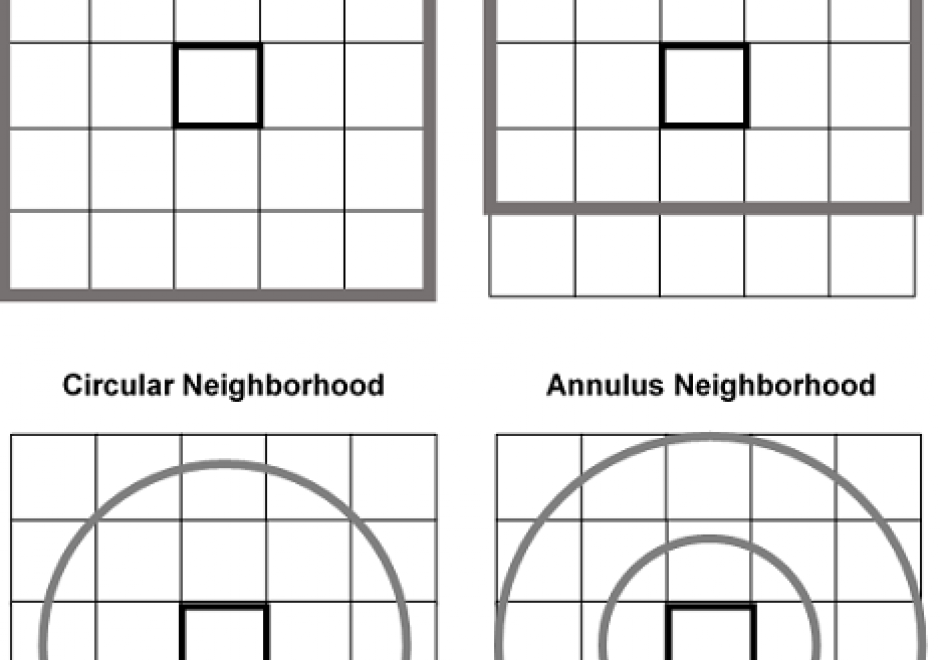
Grid operations are manipulation and analytical computations performed on raster data. Map Algebra is a language for organizing and implementing grid operations in Geographic Information Systems (GIS) software, and is typically categorized into Local, Focal, and Zonal functions, where each function typically ingests one or more grids and outputs a new grid. The value of a specific grid cell in the output grid for Local functions is determined from the value(s) of the analogous cell position(s) in the input grid(s), for Focal functions from the grid cell values drawn from a neighborhood around the specific output grid cell, and for Zonal functions from a set of grid cells specified in a separate zone grid. Individual functions within a category vary by applying a different arithmetic, statistical, or other type of operator to the function. Map Algebra also includes Global and Block function categories. Grid operations can be categorized as data manipulation procedures or within domain-specific applications, such as terrain analysis or image processing. Grid operations are employed in a variety of GIS-based analyses, but are particularly widely used for suitability modeling and environmental analyses.

DC-19 - Ground Verification and Accuracy Assessment

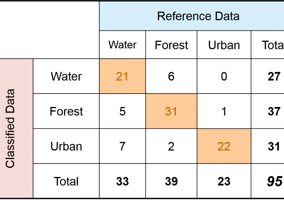
Spatial products such as maps of land cover, soil type, wildfire, glaciers, and surface water have become increasingly available and used in science and policy decisions.  These maps are not without error, and it is critical that a description of quality accompany each product.  In the case of a thematic map, one aspect of quality is obtained by conducting a spatially explicit accuracy assessment in which the map class and reference class are compared on a per spatial unit basis (e.g., per 30m x 30m pixel).  The outcome of an accuracy assessment is a description of quality of the end-product map, in contrast to conducting an evaluation of map quality as part of the map production process.  The accuracy results can be used to decide if the map is of adequate quality for an intended application, as input to uncertainty analyses, and as information to improve future map products.

Pages