2023 QUARTER 01

A B C D E F G H I J K L M N O P R S T U V W
AM-57 - Data conversion
  • Identify the conceptual and practical difficulties associated with data model and format conversion
  • Convert a data set from the native format of one GIS product to another
  • Discuss the role of metadata in facilitating conversation of data models and data structures between systems
  • Describe a workflow for converting and implementing a data model in a GIS involving an Entity-Relationship (E-R) diagram and the Universal Modeling Language (UML)
DM-02 - Data retrieval strategies
  • Analyze the relative performance of data retrieval strategies
  • Implement algorithms that retrieve geospatial data from a range of data structures
  • Describe the particular advantages of Morton addressing relative to geographic data representation
  • Discuss the advantages and disadvantages of different data structures (e.g., arrays, linked lists, binary trees, hash tables, indexes) for retrieving geospatial data
  • Compare and contrast direct and indirect access search and retrieval methods
KE-18 - Data sharing among public and private agencies, organizations, and individuals
  • Describe formal and informal arrangements that promote geospatial data sharing (e.g., FGDC, ESDI, memoranda of agreements, informal access arrangements, targeted funding support)
  • Describe a situation in which politics interferes with data sharing and exchange
DM-59 - Data warehouses
  • Differentiate between a data warehouse and a database
  • Describe the functions that gazetteers support
  • Differentiate the retrieval mechanisms of data warehouses and databases
  • Discuss the appropriate use of a data warehouse versus a database
DM-62 - Database Administration

Organizations with a responsibility for maintaining large-scale, multi-user spatial databases often turn to server-based relational database management systems to achieve their goals.  The administration of such databases has many dimensions.  Industry standards in the areas of data storage and services should be researched and applied to ensure a sound, comprehensive database design as well as to promote interoperability with external entities.  Data validation tools should be implemented to improve the accuracy and efficiency of data maintenance activities.  Metadata should be maintained according to industry standards to protect the organization’s investment in data and to increase the likelihood of the data being located by clearinghouse and portal search tools.  Database security strategies can prevent unauthorized access to data and lessen the chances of data loss due to accidental data corruption.  Database performance should be monitored and strategies implemented to ensure that data can be retrieved from the system with acceptable response times.  Finally, trends in the field such as the increasing need to manage large volumes of data call for spatial database managers to be knowledgeable of non-relational data models as well, such as NoSQL data models.

CV-29 - Design and Aesthetics

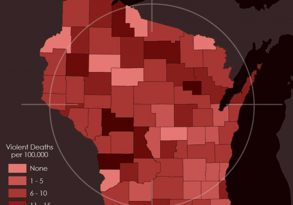
Design and aesthetics are fundamental to cartographic practice. Developing students’ skills in design and aesthetics is a critical part of cartography education, yet design is also one of the most difficult part of the cartographic process. The cartographic design process of planning, creating, critiquing, and revising maps provides a method for making maps with intentional design decisions, utilizing an understanding of aesthetics to promote clarity and cohesion to attract the user and facilitate an emotional response. In this entry, cartographic design and the cartographic design process are reviewed, and the concepts of aesthetics, style, and taste are explained in the context of cartographic design.

PD-05 - Design, Development, Testing, and Deployment of GIS Applications

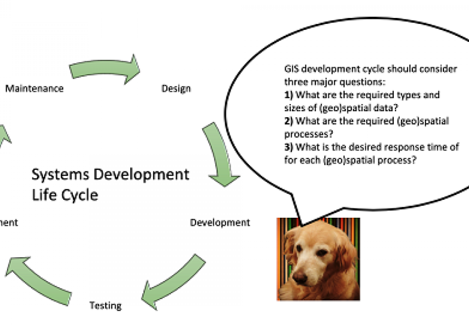
A systems development life cycle (SDLC) denes and guides the activities and milestones in the design, development, testing, and de ployment of software applications & information systems. Various choices of SDLC are available for different types of software applications & information systems and compositions of development teams and stakeholders. While the choice of an SDLC for building geographic information system (GIS) applications is similar to that of other types of software applications, critical decisions in each phase of the GIS development life cycle (GiSDLC) should take into account essential questions concern ing the storage, access, and analysis of (geo)spatial data for the target application. This article aims to introduce various considerations in the GiSDLC, from the perspectives of handling (geo)spatial data. The article rst introduces several (geo)spatial processes and types as well as various modalities of GIS applications. Then the article gives a brief introduction to an SDLC, including explaining the role of (geo)spatial data in the SDLC. Finally, the article uses two existing real-world applications as an example to highlight critical considerations in the GiSDLC.

FC-14 - Directional Operations

In the same manner as distance, direction plays an equally important role in GIS. This article first summarizes different ways of measuring direction, either quantitatively or qualitatively. Formulas and examples are provided. In the following discussion, fundamental differences between distance and direction in describing spatial relations is examined; properties of angles are emphasized in the context of GIS; and the classification of both cardinal and projective direction is illustrated. With a focus on quantitative operations, various directional operations are categorized and elaborated based on factors such as the underlying data model (vector or raster) and whether direction effect is explicitly or implicitly embedded in the data.

FC-42 - Distance Operations

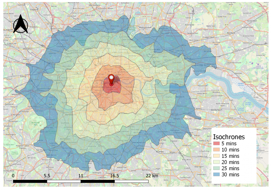
Distance is a central concept in geography, and consequently, there are various types of operations that leverage the concept of distance. This short article introduces common distance measures, the purpose of distance operations, different types of operations and considerations, as well as sample applications in the physical and social domains. Distance operations can be performed on both vector or raster data, but the operations and results may differ. While performing distance operations, it is important to remember how distance is conceptualized while performing the operation.