Data Capture

The capture of massive quantities of spatial data, able to be distributed and shared in real time, provide for an ever-increasing range of environmental and societal applications. Data capture includes the principles, methods, technologies, applications, and institutional/programmatic aspects of spatial data acquisition. Sources of data include global navigation satellite systems, satellite and aerial sensing, field surveys, land records, socioeconomic data (e.g., census), volunteered geographic information, wireless sensor networks, and unmanned aerial systems.

Topics in this Knowledge Area are listed thematically below. Existing topics are in regular font and linked directly to their original entries (published in 2006; these contain only Learning Objectives). Entries that have been updated and expanded are in bold. Forthcoming, future topics are italicized


History & Trends Processing Remotely-Sensed Data
Changes in Data Capture Methods Over Time, Part 1: Technological Developments Image Interpretation: Aerial Photography & Satellites
Changes in Data Capture Over Time, Part 2: Implications and Case Studies Feature Extraction in Satellite Imagery
Georeferencing and Georectification Structure from Motion Photogrammetry
Digital Data Sources & Capture Methods Ground Verification and Accuracy Assessment
Historical (Paper) Maps Spectral Properties of Terrestrial Surfaces
Global Navigation Satellite Systems  
Mobile Applications GIS and Surveying
Aerial Photography: History & Georeferencing Professional Land Surveying
Ground or Street-Level Imagery Land records
Social Media Platforms Ocean Surveying
Texts  
Volunteered Geographic Information (VGI) Field Data Collection
Remote Sensing Platforms & Sensors Sampling: Size Selection, Sample Types, Intervals
Remote Sensing Platforms overview Field Data Capture Technologies
Nature of multispectral image data U.S. Census Data
Unmanned Aerial Systems (UAS) Data Coordinating Organizations
Landsat Multi-Organizational GIS Coordination
Light Detection and Ranging (LiDAR) Federal Agencies & National Organizations and Programs
Indoor LiDAR Scanning International Organizations & Programs
Thermal Imagery  
Radar, Sonar, and Echolocation  
Hyperspectral Imagery  
Airborne LiDAR Bathymetry  


DC-36 - Historical Maps in GIS

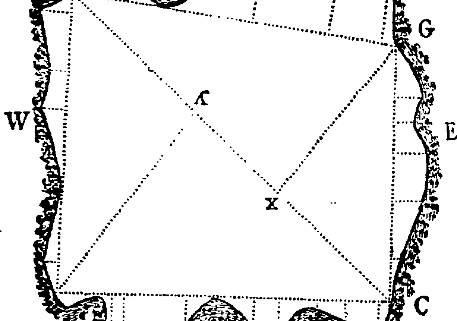
The use of historical maps in coordination with GIS aids scholars who are approaching a geographical study in which an historical approach is required or is interested in the geographical relationships between different historical representations of the landscape in cartographic document.  Historical maps allow the comparison of spatial relationships of past phenomena and their evolution over time and permit both qualitative and quantitative diachronic analysis. In this chapter, an explanation of the use of historical maps in GIS for the study of landscape and environment is offered. After a short theoretical introduction on the meaning of the term “historical map,” the reader will find the key steps in using historic maps in a GIS, a brief overview on the challenges in interpretation of historical maps, and some example applications.

DC-02 - Land records
  • Distinguish between GIS, LIS, and CAD/CAM in the context of land records management
  • Evaluate the difference in accuracy requirements for deeds systems versus registration systems
  • Exemplify and compare deed descriptions in terms of how accurately they convey the geometry of a parcel
  • Distinguish between topological fidelity and geometric accuracy in the context of a plat map
DC-32 - Landsat

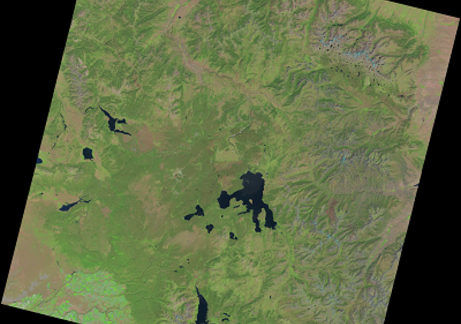
The Landsat series of satellites have collected the longest and continuous earth observation data. Earth surface data collected since 1972 are providing invaluable data for managing natural resources, monitoring changes, and disaster response. After the US Geological Survey (USGS) opened the entire archive to users, the number of monitoring and mapping applications have increased several folds. Currently, Landsat data can be obtained from the USGS and other private entities. The sensors onboard these Landsat satellites have improved over time resulting in changes to the spatial, spectral, radiometric, and temporal resolutions of the images they have collected. Data recorded by the sensors in the form of pixels can be converted to reflectance values. Recently, USGS has reprocessed the entire Landsat data archive and is releasing them as collections. This section provides an overview of the Landsat program and remotely sensed data characteristics, followed by the description of various sensors onboard and data collected by the past and current sensors.

DC-27 - Light Detection and Ranging (LiDAR)

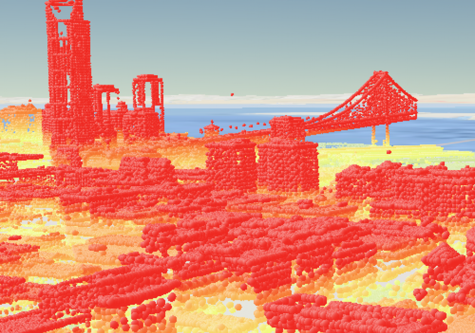
LiDAR (Light Detection and Ranging) is a remote sensing technology that collects information reflected or refracted from the Earth’s surface. The instrumentation that collects LiDAR data can be housed on drones, airplanes, helicopters, or satellites, and consists of a laser scanner that transmits pulses of light. These transmitted pulses reflect or refract from objects on the Earth’s surface or from the surface itself, and the time delay is recorded. Knowing the travel time and the speed of light, an elevation of each pulse above the surface can be determined. From the pulse data collected, the user can determine the topography and landscape features of the Earth or whatever surface has received the pulses. The evolution of software that displays and analyzes LiDAR data and the development of new and more compact file formats have allowed the use of LiDAR to grow dramatically in recent years.

DC-15 - Mission planning
  • Plan an aerial imagery mission in response to a given request for proposals and map of a study area, taking into consideration vertical and horizontal control, atmospheric conditions, time of year, and time of day
DC-16 - Nature of Multispectral Image Data

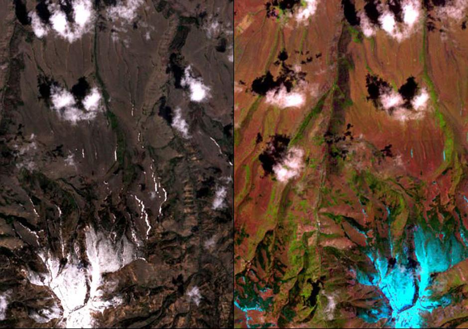
A multispectral image comprises a set of co-registered images, each of which captures the spatially varying brightness of a scene in a specific spectral band, or electromagnetic wavelength region. An image is structured as a raster, or grid, of pixels. Multispectral images are used as a visual backdrop for other GIS layers, to provide information that is manually interpreted from images, or to generate automatically-derived thematic layers, for example through classification. The scale of multispectral images has spatial, spectral, radiometric and temporal components. Each component of scale has two aspects, extent (or coverage), and grain (or resolution). The brightness variations of an image are determined by factors that include (1) illumination variations and effects of the atmosphere, (2) spectral properties of materials in the scene (particularly reflectance, but also, depending on the wavelength, emittance), (3) spectral bands of the sensor, and (4) display options, such as the contrast stretch, which affect the visualization of the image. This topic review focuses primarily on optical remote sensing in the visible, near infrared and shortwave infrared parts of the electromagnetic spectrum, with an emphasis on satellite imagery.  

DC-01 - Professional Land Surveying

Professional Land Surveyors are the only profession that create the legal description of land parcels, which are then officially recorded to show ownership and rights pertaining to each and every land parcel within a jurisdiction. The Surveyor is skilled at undertaking the physical measurements that are needed to locate accurately land parcels on the ground and to write the unambiguous legal description of the land to create legal title in real estate. These land ownership records are critical for the transfer of ownership in the real estate market. The legal land description provided by Surveyors forms the foundation, and the real estate market provides the mechanism, for real estate to become the largest store of tangible wealth in any free market economy.

DC-26 - Remote Sensing Platforms

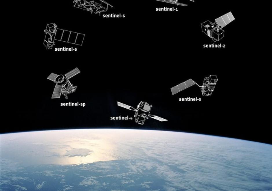
Remote sensing means acquiring and measuring information about an object or phenomenon via a device that is not in physical or direct contact with what is being studied (Colwell, 1983).To collect remotely sensed data, a platform – an instrument that carries a remote sensing sensor – is deployed. From the mid 1800’s to the early 1900’s, various platforms such as balloons, kites, and pigeons carried mounted cameras to collect visual data of the world below. Today, aircraft (both manned and unmanned) and satellites collect the majority of remotely sensed data. The sensors typically deployed on these platforms include film and digital cameras, light-detection and ranging (LiDAR) systems, synthetic aperture radar (SAR) systems, and multi-spectral and hyper-spectral scanners. Many of these instruments can be mounted on land-based platforms, such as vans, trucks, tractors, and tanks. In this chapter, we will explore the different types of platforms and their resulting remote sensing applications.

DC-06 - Sample size selection
  • Determine the minimum number and distribution of point samples for a given study area and a
  • Determine minimum homogeneous ground area for a particular application
  • Describe how spatial autocorrelation influences selection of sample size and sample statistics
  • Assess the practicality of statistically reliable sampling in a given situation
  • given statistical test of thematic accuracy
DC-04 - Social Media Platforms

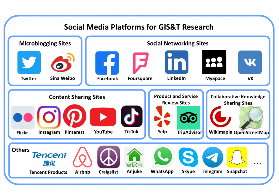
Social media is a group of interactive Web 2.0 Internet-based applications that allow users to create and exchange user-generated content via virtual communities. Social media platforms have a large user population who generate massive amounts of digital footprints, which are valuable data sources for observing and analyzing human activities/behavior. This entry focuses on social media platforms that provide spatial information in different forms for Geographic Information Systems and Technology (GIS&T) research. These social media platforms can be grouped into six categories: microblogging sites, social networking sites, content sharing sites, product and service review sites, collaborative knowledge sharing sites, and others. Four methods are available for capturing data from social media platforms, including Web Application Programming Interfaces (Web APIs), Web scraping, digital participant recruitment, and direct data purchasing. This entry first overviews the history, opportunities, and challenges related to social media platforms. Each category of social media platforms is then introduced in detail, including platform features, well-known platform examples, and data capturing processes.

Pages