DA-30 - GIS&T and Landscape Ecology
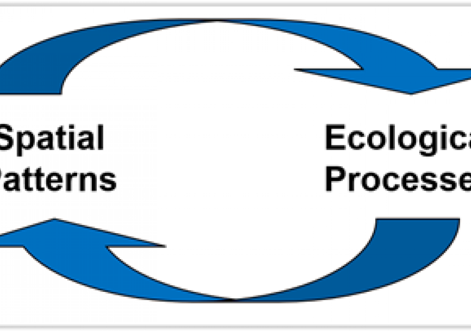
Landscape ecology is a transdisciplinary science dedicated to the study of the interactions among landscape heterogeneity, humans, and natural system. Since its inception in the mid-20th Century, landscape ecology has been strongly intertwined with spatial technologies, from aerial photography to modern space-borne sensors. Satellite-based remote sensing is among the primary data sources for contemporary landscape ecology analysis, while geographic information systems provide tools to analyze the spatial configurations of satellite derived classifications, simulate landscapes and species distributions, quantify landscape change, and elucidate the reciprocal relationship between spatial patterns and ecological processes. Additionally, global navigation satellite systems, such as GPS, Galileo, and GLONASS, augment these datasets and may be used for data collection to aid landscape ecology research. Emerging geospatial technologies, such as unoccupied aerial systems and micro- and nanosatellites, also have a role to play in landscape ecology.



DA-09 - GIS&T and Geodesign
Geodesign leverages GIS&T to allow collaborations that result in geographically specific, adaptive and resilient solutions to complex problems across scales of the built and natural environment. Geodesign is rooted in decades of research and practice. Building on that history, is a contemporary approach that embraces the latest in GIS&T, visualization, and social science, all of which is organized around a unique framework process involving six models. More than just technology or GIS, Geodesign is a way of thinking when faced with complicated spatial issues that need systematic, creative, and integrative solutions. Geodesign holds great promise for addressing the complexity of interrelated issues associated with growth and landscape change. Geodesign empowers through design combined with data and analytics to shape our environments and create desired futures.