GS-29 - GIS Participatory Modeling
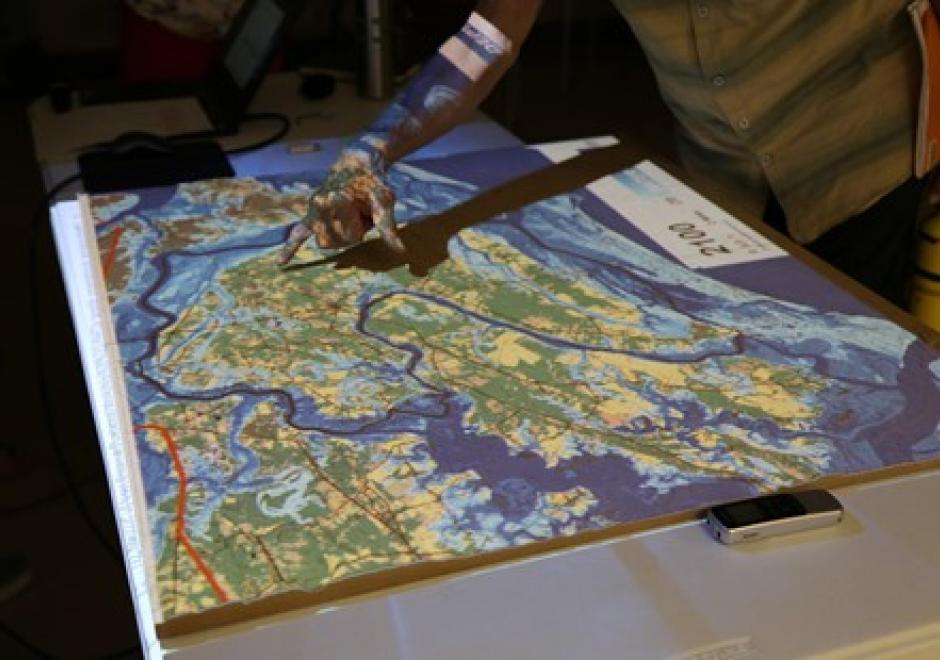
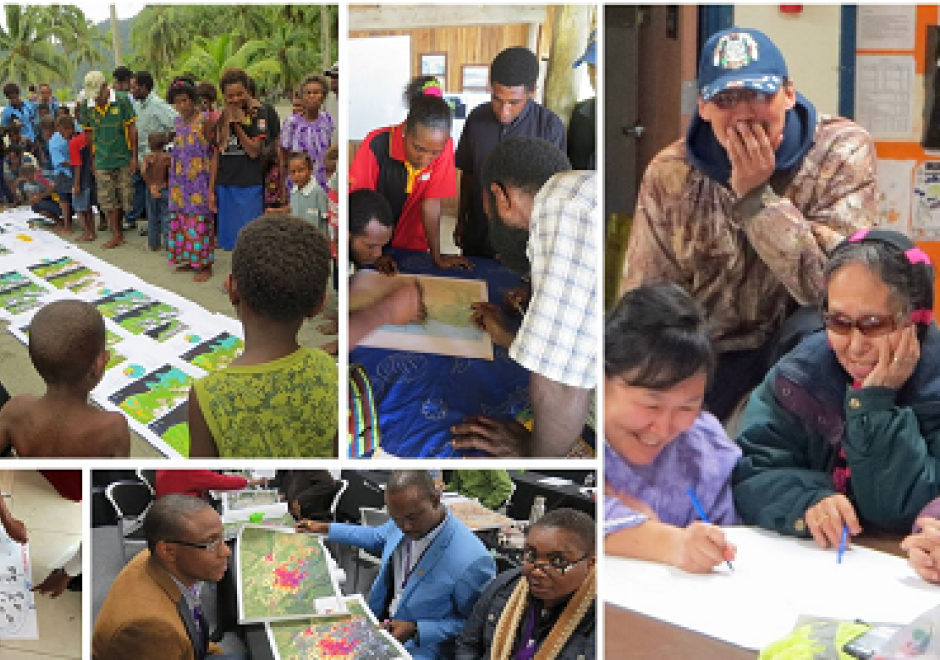
Participatory research is increasingly used to better understand complex social-environmental problems and design solutions through diverse and inclusive stakeholder engagement. A growing number of approaches are helping to foster co-production of knowledge among diverse stakeholders. However, most methods don’t allow stakeholders to directly interact with the models that often drive environmental decision-making. Geospatial participatory modeling (GPM) is an approach that engages stakeholders in co-development and interpretation of models through dynamic geovisualization and simulations. GPM can be used to represent dynamic landscape processes and spatially explicit management scenarios, such as land use change or climate adaptation, enhancing opportunities for co-learning. GPM can provide multiple benefits over non-spatial approaches for participatory research processes, by (a) personalizing connections to problems and their solutions, (b) resolving abstract notions of connectivity, and (c) clarifying the scales of drivers, data, and decision-making authority. An adaptive, iterative process of model development, sharing, and revision can drive innovation of methods, improve model realism or applicability, and build capacity for stakeholders to leverage new knowledge gained from the process. This co-production of knowledge enables participants to more fully understand problems, evaluate the acceptability of trade-offs, and build buy-in for management actions in the places where they live and work.


GS-14 - GIS and Critical Ethics
This entry discusses and defines ethical critiques and GIS. It complements other GIS&T Body of Knowledge entries on Professional and Practical Ethics and Codes of Ethics for GIS Professionals. Critical ethics is presented as the attempt to provide a better understanding of data politics. Knowledge is never abstract or non-material. Spatial data, as a form of knowledge, may mask, conceal, disallow or disavow, even as it speaks, permits and claims. A critical ethics of GIS investigates this situated power-knowledge. Two concepts from educational pedagogy are suggested: threshold and troublesome knowledge. As we use and continue to learn GIS, these concepts may enrich our experience by usefully leading us astray. This points finally to how ethical critique is practical, empirical and political, rather than abstract or theoretical.