Knowledge Economy

Knowledge Economy is the portion of the Body of Knowledge focused on the elements of GIScience central to the growth of the field, particularly in areas related to the professional realm. This knowledge area emphasizes the education and training of personnel, labor and management issues, professional standards (like certification and ethics), industry economics and impacts, and overarching professional community issues.

Topics in this Knowledge Area are listed thematically below. Existing topics are in regular font and linked directly to their original entries (published in 2006; these contain only Learning Objectives). Entries that have been updated and expanded are in bold. Forthcoming, future topics are italicized

GIS&T Workforce GIS Operations
GIS&T Workforce Development Systems Modeling for Effective GIS Management
Competence in GIS&T Knowledge Work Funding
GIS&T Positions and Qualifications Organizational Models for GIS Management
GIS&T Education and Training  
Professional Certification Design & Implementation of GIS&T
  The Process of GIS&T Design
Coordinating Organizations Strategic Planning for GIS Design
Value of Geospatial Professional Organizations GIS&T Project Planning and Management
Regional GIS Coordination & Collaboration Managing GIS&T Operations & Infrastructure
Multi-Organizaional GIS Coordination Measuring GIS Return on Investment
Publications Measuring GIS Costs
The Geospatial Community  
The Geospatial Industry  
KE-33 - Organizational Models for GIS Management

Organizational structures and management practices for GIS programs are numerous and complex. This topic begins with an explanation of organizational and management concepts and context that are particularly relevant to GIS program and project management, including strategic planning and stakeholders. Specific types of organizations that typically use GIS technology are described and organizational structure types are explained. For GIS Program management, organizational placement, organizational components, and management control and policies are covered in depth. Multi-organizational GIS Programs are also discussed. Additional topics include management roles and technology trends that affect organizational structure. It concludes with a general description of GIS Project management. 

KE-31 - Professional Certification
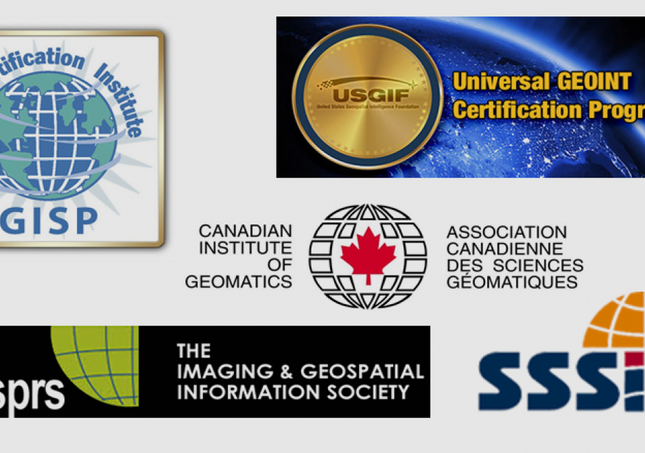
Professional Certification has been a part of the GIS enterprise for over two decades. There are several different certification programs and related activities now in operation within GIS, though there has been much debate over its merits, how it should be done and by whom. 

KE-28 - Publications
  • Describe the leading academic journals serving the GIS&T community
  • Select association and for-profit journals that are useful to entities managing enterprise GISs
  • Select and describe the leading trade journals serving the GIS&T community
  • Develop a bibliography of scholarly and professional articles and/or books that are relevant to a particular GIS&T project
KE-03 - Strategic Planning for GIS Design

Geographic Information Systems (GIS) are pervasive and have become an essential feature in many professional disciplines. Prior to adoption, implementation or use of any GIS, a system must be properly designed to meet its organizational goals, and this requires comprehensive strategic planning to take place ahead of the design. In this article, we discuss methods for strategic planning in GIS design, drawing from literature in Information Systems and GIS research and practice, and business management. We present a four-step approach toward planning for GIS design that will ensure the system is well-suited to further an organization’s long-term functions, applications, and users’ needs.

KE-21 - System Modelling for Effective GIS Management

A geographic information system in operation is highly complex, as the scope of the GIS&T Body of Knowledge demonstrates. Modern society relies on many complex systems, but most are self-contained mechanisms with limited and well defined interfaces. A GIS is a complex open system that extends across the realms of hardware, software, data, science, and human processes. A conceptual model of a GIS can be an effective tool to design, implement, operate, maintain, manage, and assessment tool.

KE-29 - The geospatial community
  • Describe possible benefits to an organization by participating in a given society that is related to GIS&T
  • Discuss the value or effect of participation in societies, conferences, and informal communities to entities managing enterprise GIS
  • Identify conferences that are related to GIS&T
KE-30 - The geospatial industry
  • Assess the involvement of non-GIS companies (e.g., Microsoft, Google) in the geospatial industry
  • Describe three applications of geospatial technology for different workforce domains (e.g., first responders, forestry, water resource management, facilities management)
  • Explain why software products sold by U.S. companies may predominate in foreign markets, including Europe and Australia
  • Describe the U.S. geospatial industry including vendors, software, hardware and data
KE-01 - The process of GIS&T design
  • Describe the major approaches to the design of geospatial systems
  • Analyze past cases to identify best practices of design and implementation
  • Compare and contrast the relative merits of the use-case driven and architecture-centric design processes
KE-27 - Value of Professional Geospatial Organizations

There are a great many professional associations in the geospatial sector.  They provide a great deal of value to the geospatial community and professionals working in that community.  The value can be described in terms of professional development, technological and organizational advancement, advocacy, governance, and leadership.  The following text explains the various ways in which professional associations provide value to the community.

KE-14 - Valuing and measuring benefits
  • Distinguish between operational, organizational, and societal activities that rely upon geospatial information
  • Describe the potential benefits of geospatial information in terms of efficiency, effectiveness, and equity
  • Explain how cost-benefit analyses can be manipulated
  • Compare and contrast the evaluation of benefits at different scales (e.g., national, regional/state, local)
  • Identify practical problems in defining and measuring the value of geospatial information in land or other business decisions

Pages