Search Page

Showing 1 - 10 of 20
GS-12 - Ethics for Certified Geospatial Professionals

This entry discusses ethics for certified geospatial professional, focusing on the Codes of Ethics for the American Society for Photogrammetry and Remote Sensing (ASPRS) and the GIS Certification Institute (GISCI). The entry begins by defining and discussing ethics, while providing some history of the evolution of ethics in the GIS community. It then compares and contrasts the ethical guidelines of GISCI and ASPRS, including sanctions that may be imposed upon individuals who have violated their codes of ethics. The entry concludes with a discussion of how certified professionals may address situations in which their codes of ethics may conflict with their employers’ proprietary interests.

GS-11 - Professional and Practical Ethics of GIS&T
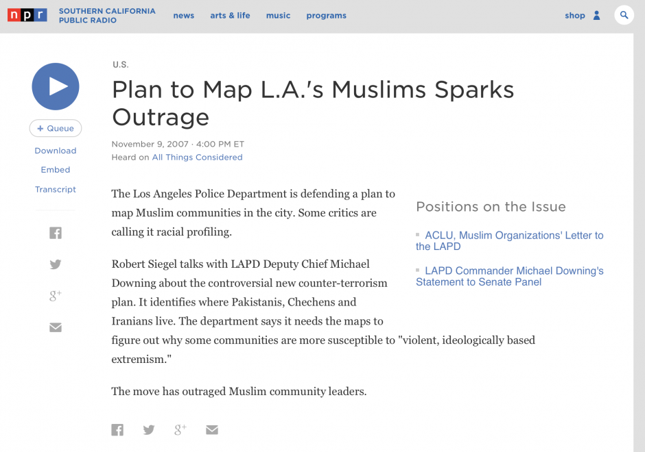
Geospatial technologies are often and rightly described as “powerful.” With power comes the ability to cause harm – intentionally or unintentionally - as well as to do good. In the context of GIS&T, Practical Ethics is the set of knowledge, skills and abilities needed to make reasoned decisions in light of the risks posed by geospatial technologies and methods in a wide variety of use cases. Ethics have been considered from different viewpoints in the GIS&T field. A practitioner's perspective may be based on a combination of "ordinary morality," institutional ethics policies, and professional ethics codes. By contrast, an academic scholar's perspective may be grounded in social or critical theory. What these perspectives have in common is reliance on reason to respond with integrity to ethical challenges. This entry focuses on the special obligations of GIS professionals, and on a method that educators can use to help students develop moral reasoning skills that GIS professionals need. The important related issues of Critical GIS and Spatial Law and Policy are to be considered elsewhere.  

GS-14 - GIS and Critical Ethics

This entry discusses and defines ethical critiques and GIS. It complements other GIS&T Body of Knowledge entries on Professional and Practical Ethics and Codes of Ethics for GIS Professionals. Critical ethics is presented as the attempt to provide a better understanding of data politics. Knowledge is never abstract or non-material. Spatial data, as a form of knowledge, may mask, conceal, disallow or disavow, even as it speaks, permits and claims. A critical ethics of GIS investigates this situated power-knowledge. Two concepts from educational pedagogy are suggested: threshold and troublesome knowledge. As we use and continue to learn GIS, these concepts may enrich our experience by usefully leading us astray. This points finally to how ethical critique is practical, empirical and political, rather than abstract or theoretical.

GS-26 - Mapping Spatial Justice for Marginal Societies

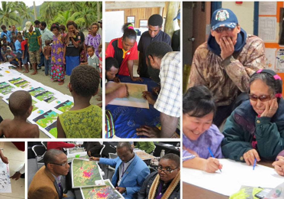
Marginal populations are those populations that are often overlooked by government, dependent upon non-governmental aid, and lack access to basic resources such as water, food, shelter, and security.  However, these groups are increasingly included in partnerships to map their resources (or lack thereof), develop basic applications in geospatial data collection, and devise innovative approaches to participatory mapping using geospatial technologies to address local and regional problems. Rapid technological changes and increased access to mobile geospatial tools enhance data creation efforts to map marginal populations and identify their needs. However, such mapping activities reveal fundamental inequities in collecting, disseminating, and visualizing spatial data.  This chapter defines marginal populations and provides an overview of data needs, geospatial tools, and ethical obligations necessary for these partnerships.

GS-04 - Location Privacy

How effective is this fence at keeping people, objects, or sensitive information inside or outside? Location Privacy is concerned with the claim of individuals to determine when, how, and to what extent information about themselves and their location is communicated to others. Privacy implications for spatial data are growing in importance with growing awareness of the value of geo-information and the advent of the Internet of Things, Cloud-Based GIS, and Location Based Services.  

In the rapidly changing landscape of GIS and public domain spatial data, issues of location privacy are more important now than ever before. Technological trailblazing tends to precede legal safeguards. The development of GIS tools and the work of the GIS&T research and user community have typically occurred at a much faster rate than the establishment of legislative frameworks governing the use of spatial data, including privacy concerns. Yet even in a collaborative environment that characterizes the GIS&T community, and despite progress made, the issue of location privacy is a particularly thorny one, occurring as it does at the intersection of geotechnology and society.

CV-19 - Big Data Visualization

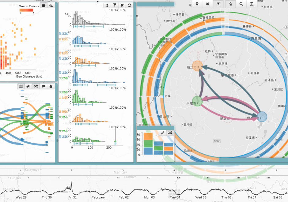
As new information and communication technologies have altered so many aspects of our daily lives over the past decades, they have simultaneously stimulated a shift in the types of data that we collect, produce, and analyze. Together, this changing data landscape is often referred to as "big data." Big data is distinguished from "small data" not only by its high volume but also by the velocity, variety, exhaustivity, resolution, relationality, and flexibility of the datasets. This entry discusses the visualization of big spatial datasets. As many such datasets contain geographic attributes or are situated and produced within geographic space, cartography takes on a pivotal role in big data visualization. Visualization of big data is frequently and effectively used to communicate and present information, but it is in making sense of big data – generating new insights and knowledge – that visualization is becoming an indispensable tool, making cartography vital to understanding geographic big data. Although visualization of big data presents several challenges, human experts can use visualization in general, and cartography in particular, aided by interfaces and software designed for this purpose, to effectively explore and analyze big data.

KE-31 - Professional Certification

Professional Certification has been a part of the GIS enterprise for over two decades. There are several different certification programs and related activities now in operation within GIS, though there has been much debate over its merits, how it should be done and by whom. 

GS-27 - GIS&T for Equity and Social Justice

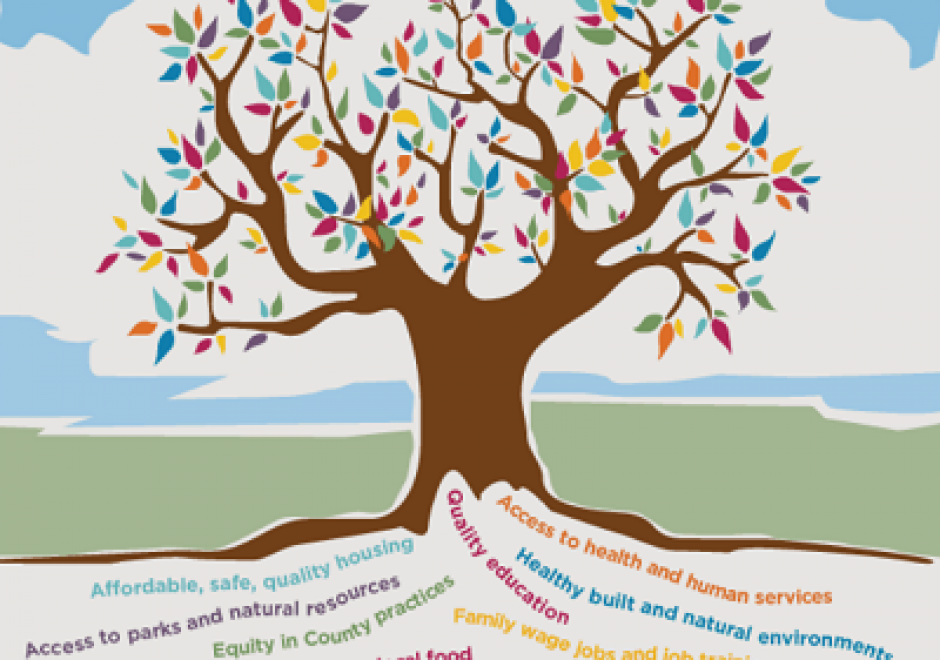
A geographic information system (GIS) can be used effectively for activities, programs, and analyses focused on equity and social justice (ESJ).  Many types of inequities exist in society, but race and space are key predictors of inequity. A key concept of social justice is that any person born into society, no matter where they were born or live, will have an equitable opportunity to achieve successful life outcomes and to thrive. Geographic information science and its technologies (GIS&T) provide powerful tools to analyze equity and social justice issues and help government agencies apply an equity lens to every aspect of their administration. Given the reliance on spatial data to represent and analyze matters of ESJ, the use of these tools is necessary, logical, and appropriate. Some types of analyses and mapping commonly used with ESJ programs require careful attention to how data are combined and represented, risking misleading or false conclusions otherwise. Such outcomes could build mistrust when trust is most needed. A GIS-supported lifecycle for ESJ is presented that includes stages of exploratory issue analysis, community feedback, pro-equity programs analysis, management monitoring and stakeholder awareness, program performance metrics, and effectiveness analysis.

AM-09 - Classification and Clustering

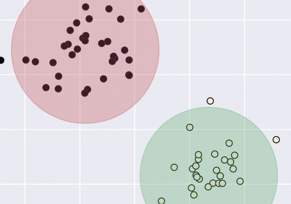
Classification and clustering are often confused with each other, or used interchangeably. Clustering and classification are distinguished by whether the number and type of classes are known beforehand (classification), or if they are learned from the data (clustering). The overarching goal of classification and clustering is to place observations into groups that share similar characteristics while maximizing the separation of the groups that are dissimilar to each other. Clusters are found in environmental and social applications, and classification is a common way of organizing information. Both are used in many areas of GIS including spatial cluster detection, remote sensing classification, cartography, and spatial analysis. Cartographic classification methods present a simplified way to examine some classification and clustering methods, and these will be explored in more depth with example applications.

KE-19 - Managing GIS&T Operations and Infrastructure

This article discusses the key role of effective management practices to derive expected benefits from the infrastructure and operations of enterprise GIS, including needs assessment, data evaluation and management, and stakeholder involvement. It outlines management factors related to an emerging application of enterprise GIS.  How to configure GIS infrastructure and operations to support enterprise business needs is the focus. When appropriate, additional information is provided for programs, projects, and activities specifically relevant for equity and social justice.

Pages