GS-15 - Feminist Critiques of GIS

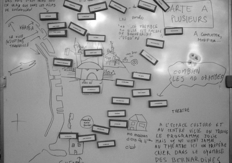
Feminist interactions with GIS started in the 1990s in the form of strong critiques against GIS inspired by feminist and postpositivist theories. Those critiques mainly highlighted a supposed epistemological dissonance between GIS and feminist scholarship. GIS was accused of being shaped by positivist and masculinist epistemologies, especially due to its emphasis on vision as the principal way of knowing. In addition, feminist critiques claimed that GIS was largely incompatible with positionality and reflexivity, two core concepts of feminist theory. Feminist critiques of GIS also discussed power issues embedded in GIS practices, including the predominance of men in the early days of the GIS industry and the development of GIS practices for the military and surveillance purposes.
At the beginning of the 21st century, feminist geographers reexamined those critiques and argued against an inherent epistemological incompatibility between GIS methods and feminist scholarship. They advocated for a reappropriation of GIS by feminist scholars in the form of critical feminist GIS practices. The critical GIS perspective promotes an unorthodox, reconstructed, and emancipatory set of GIS practices by critiquing dominant approaches of knowledge production, implementing GIS in critically informed progressive social research, and developing postpositivist techniques of GIS. Inspired by those debates, feminist scholars did reclaim GIS and effectively developed feminist GIS practices.


CV-04 - Scale and Generalization
Scale and generalization are two fundamental, related concepts in geospatial data. Scale has multiple meanings depending on context, both within geographic information science and in other disciplines. Typically it refers to relative proportions between objects in the real world and their representations. Generalization is the act of modifying detail, usually reducing it, in geospatial data. It is often driven by a need to represent data at coarsened resolution, being typically a consequence of reducing representation scale. Multiple computations and graphical modication processes can be used to achieve generalization, each introducing increased abstraction to the data, its symbolization, or both.