artificial intelligence

CP-04 - Artificial Intelligence Tools and Platforms for GIS

Artificial intelligence is the study of intelligence agents as demonstrated by machines. It is an interdisciplinary field involving computer science as well as, various kinds of engineering and science, for example, robotics, bio-medical engineering, that accentuates automation of human acts and intelligence through machines. AI represents state-of-the-art use of machines to bring about algorithmic computation and understanding of tasks that include learning, problem solving, mapping, perception, and reasoning. Given the data and a description of its properties and relations between objects of interest, AI methods can perform the aforementioned tasks. Widely applied AI capabilities, e.g. learning, are now achievable at large scale through machine learning (ML), large volumes of data and specialized computational machines. ML encompasses learning without any kind of supervision (unsupervised learning) and learning with full supervision (supervised learning). Widely applied supervised learning techniques include deep learning and other machine learning methods that require less data than deep learning e.g. support vector machines, random forests. Unsupervised learning examples include dictionary learning, independent component analysis, and autoencoders. For application tasks with less labeled data, both supervised and unsupervised techniques can be adapted in a semi-supervised manner to produce accurate models and to increase the size of the labeled training data.

AM-93 - Artificial Intelligence Approaches
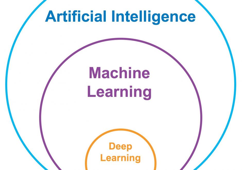
Artificial Intelligence (AI) has received tremendous attention from academia, industry, and the general public in recent years. The integration of geography and AI, or GeoAI, provides novel approaches for addressing a variety of problems in the natural environment and our human society. This entry briefly reviews the recent development of AI with a focus on machine learning and deep learning approaches. We discuss the integration of AI with geography and particularly geographic information science, and present a number of GeoAI applications and possible future directions.

PD-20 - Real-time GIS Programming and Geocomputation

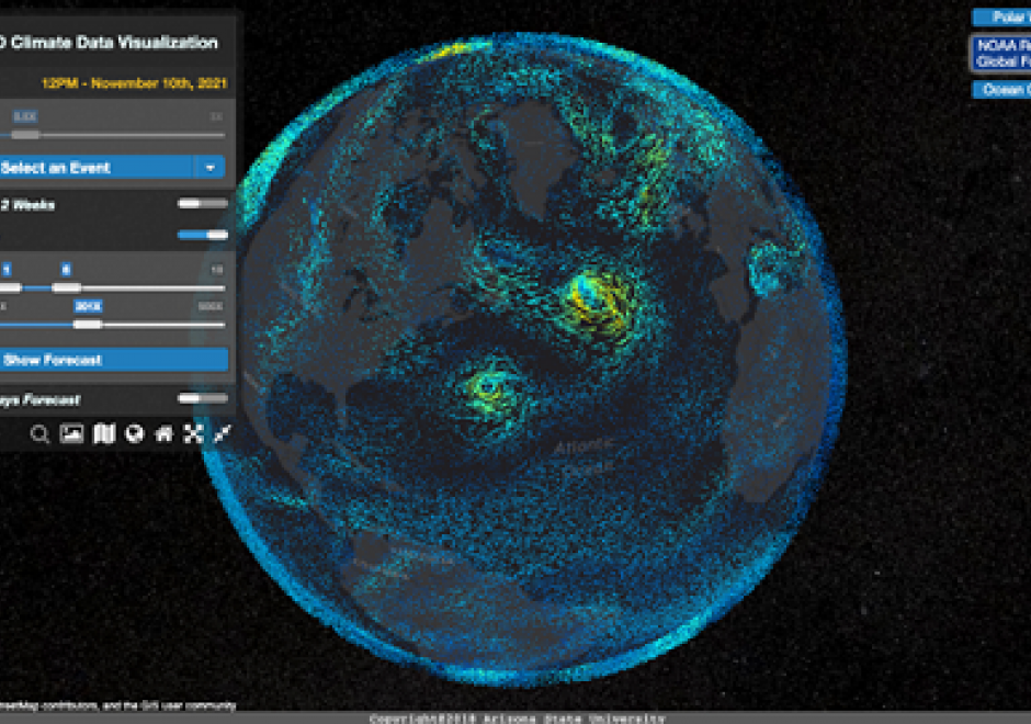
Streaming data generated continuously from sensor networks, mobile devices, social media platforms and other edge devices have posed significant challenges to existing computing platforms for achieving both high throughput and low latency data processing in addition to scalable computing. This entry introduces a real-time computing and programming platform for time-critical GIS (Geographic Information System) applications. In this platform, advanced streaming data processing software, such as Apache Kafka and Spark Streaming, are integrated to enable data analytics in real-time. This computing platform can also be extended to integrate GeoAI (Geospatial Artificial Intelligence) based machine learning models to leverage both historical and streaming data to achieve real-time prediction and intelligent geospatial analytics. Two real-time geospatial applications in terms of flood simulation and climate data visualization are introduced to demonstrate how real-time programming and computing can help tackle real-world problems with important societal impacts.

CP-04 - Artificial Intelligence Tools and Platforms for GIS

Artificial intelligence is the study of intelligence agents as demonstrated by machines. It is an interdisciplinary field involving computer science as well as, various kinds of engineering and science, for example, robotics, bio-medical engineering, that accentuates automation of human acts and intelligence through machines. AI represents state-of-the-art use of machines to bring about algorithmic computation and understanding of tasks that include learning, problem solving, mapping, perception, and reasoning. Given the data and a description of its properties and relations between objects of interest, AI methods can perform the aforementioned tasks. Widely applied AI capabilities, e.g. learning, are now achievable at large scale through machine learning (ML), large volumes of data and specialized computational machines. ML encompasses learning without any kind of supervision (unsupervised learning) and learning with full supervision (supervised learning). Widely applied supervised learning techniques include deep learning and other machine learning methods that require less data than deep learning e.g. support vector machines, random forests. Unsupervised learning examples include dictionary learning, independent component analysis, and autoencoders. For application tasks with less labeled data, both supervised and unsupervised techniques can be adapted in a semi-supervised manner to produce accurate models and to increase the size of the labeled training data.

AM-93 - Artificial Intelligence Approaches

Artificial Intelligence (AI) has received tremendous attention from academia, industry, and the general public in recent years. The integration of geography and AI, or GeoAI, provides novel approaches for addressing a variety of problems in the natural environment and our human society. This entry briefly reviews the recent development of AI with a focus on machine learning and deep learning approaches. We discuss the integration of AI with geography and particularly geographic information science, and present a number of GeoAI applications and possible future directions.
PD-20 - Real-time GIS Programming and Geocomputation

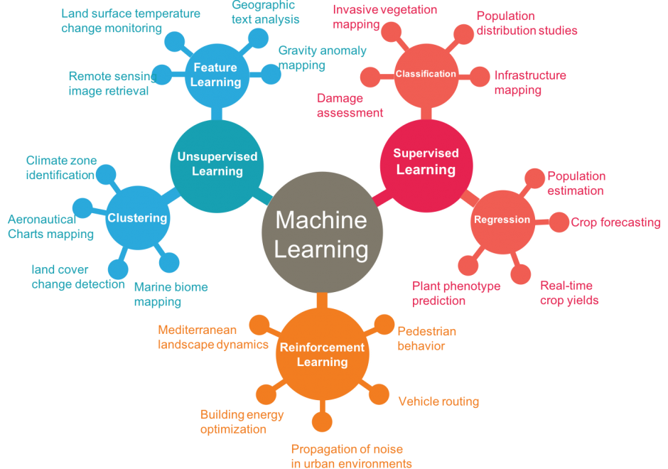
Streaming data generated continuously from sensor networks, mobile devices, social media platforms and other edge devices have posed significant challenges to existing computing platforms for achieving both high throughput and low latency data processing in addition to scalable computing. This entry introduces a real-time computing and programming platform for time-critical GIS (Geographic Information System) applications. In this platform, advanced streaming data processing software, such as Apache Kafka and Spark Streaming, are integrated to enable data analytics in real-time. This computing platform can also be extended to integrate GeoAI (Geospatial Artificial Intelligence) based machine learning models to leverage both historical and streaming data to achieve real-time prediction and intelligent geospatial analytics. Two real-time geospatial applications in terms of flood simulation and climate data visualization are introduced to demonstrate how real-time programming and computing can help tackle real-world problems with important societal impacts.

CP-04 - Artificial Intelligence Tools and Platforms for GIS

Artificial intelligence is the study of intelligence agents as demonstrated by machines. It is an interdisciplinary field involving computer science as well as, various kinds of engineering and science, for example, robotics, bio-medical engineering, that accentuates automation of human acts and intelligence through machines. AI represents state-of-the-art use of machines to bring about algorithmic computation and understanding of tasks that include learning, problem solving, mapping, perception, and reasoning. Given the data and a description of its properties and relations between objects of interest, AI methods can perform the aforementioned tasks. Widely applied AI capabilities, e.g. learning, are now achievable at large scale through machine learning (ML), large volumes of data and specialized computational machines. ML encompasses learning without any kind of supervision (unsupervised learning) and learning with full supervision (supervised learning). Widely applied supervised learning techniques include deep learning and other machine learning methods that require less data than deep learning e.g. support vector machines, random forests. Unsupervised learning examples include dictionary learning, independent component analysis, and autoencoders. For application tasks with less labeled data, both supervised and unsupervised techniques can be adapted in a semi-supervised manner to produce accurate models and to increase the size of the labeled training data.

AM-93 - Artificial Intelligence Approaches

Artificial Intelligence (AI) has received tremendous attention from academia, industry, and the general public in recent years. The integration of geography and AI, or GeoAI, provides novel approaches for addressing a variety of problems in the natural environment and our human society. This entry briefly reviews the recent development of AI with a focus on machine learning and deep learning approaches. We discuss the integration of AI with geography and particularly geographic information science, and present a number of GeoAI applications and possible future directions.

Pages