DC-04 - Social Media Platforms

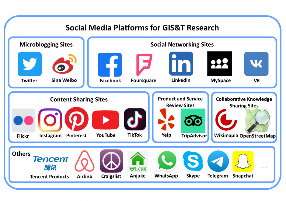
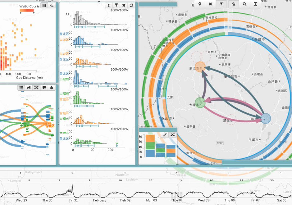
Social media is a group of interactive Web 2.0 Internet-based applications that allow users to create and exchange user-generated content via virtual communities. Social media platforms have a large user population who generate massive amounts of digital footprints, which are valuable data sources for observing and analyzing human activities/behavior. This entry focuses on social media platforms that provide spatial information in different forms for Geographic Information Systems and Technology (GIS&T) research. These social media platforms can be grouped into six categories: microblogging sites, social networking sites, content sharing sites, product and service review sites, collaborative knowledge sharing sites, and others. Four methods are available for capturing data from social media platforms, including Web Application Programming Interfaces (Web APIs), Web scraping, digital participant recruitment, and direct data purchasing. This entry first overviews the history, opportunities, and challenges related to social media platforms. Each category of social media platforms is then introduced in detail, including platform features, well-known platform examples, and data capturing processes.


PD-20 - Real-time GIS Programming and Geocomputation
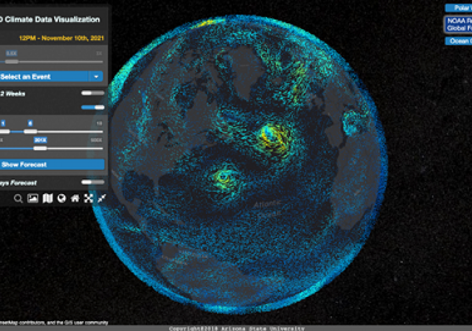
Streaming data generated continuously from sensor networks, mobile devices, social media platforms and other edge devices have posed significant challenges to existing computing platforms for achieving both high throughput and low latency data processing in addition to scalable computing. This entry introduces a real-time computing and programming platform for time-critical GIS (Geographic Information System) applications. In this platform, advanced streaming data processing software, such as Apache Kafka and Spark Streaming, are integrated to enable data analytics in real-time. This computing platform can also be extended to integrate GeoAI (Geospatial Artificial Intelligence) based machine learning models to leverage both historical and streaming data to achieve real-time prediction and intelligent geospatial analytics. Two real-time geospatial applications in terms of flood simulation and climate data visualization are introduced to demonstrate how real-time programming and computing can help tackle real-world problems with important societal impacts.