clustering

AM-09 - Classification and Clustering
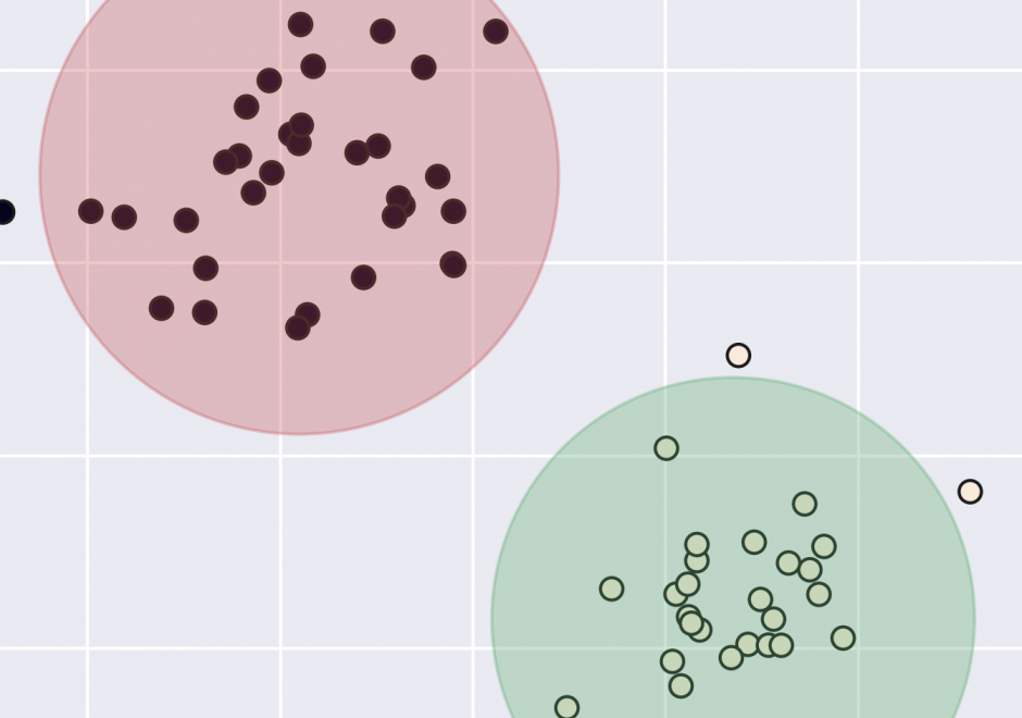
Classification and clustering are often confused with each other, or used interchangeably. Clustering and classification are distinguished by whether the number and type of classes are known beforehand (classification), or if they are learned from the data (clustering). The overarching goal of classification and clustering is to place observations into groups that share similar characteristics while maximizing the separation of the groups that are dissimilar to each other. Clusters are found in environmental and social applications, and classification is a common way of organizing information. Both are used in many areas of GIS including spatial cluster detection, remote sensing classification, cartography, and spatial analysis. Cartographic classification methods present a simplified way to examine some classification and clustering methods, and these will be explored in more depth with example applications.

Pages