communicable diseases

DA-35 - GIS&T and Public Health
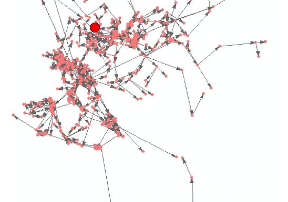
Contemporary environmental problems, global climate change, globalization, and urbanization have imposed severe impacts on human health. Meanwhile, disparity became a major concern in healthcare policy making and resource allocation. Within this context, GIS have been rapidly expanding and deepening their applications in the domain of public health. GIS applications in public health can be classified into three broad categories: 1) spatial/spatiotemporal modeling of specific diseases, including chronic diseases and communicable diseases, as well as their associations with environmental risks; 2) spatial/spatiotemporal modeling of environmental exposures from physical, behavioral, and/or socioeconomic environments; and 3) studies on healthcare services, including assessment of geographic access to healthcare facilities, investigation of disparity in the access, and optimization of resource allocation. The boundaries between these divisions are not clear-cut. Meanwhile, applications in public health have also been pushing the frontiers of GIS research on spatiotemporal modeling, high-performance computing, uncertainty, big data of human mobility, and geospatial privacy.

Pages