data capture

DC-04 - Social Media Platforms

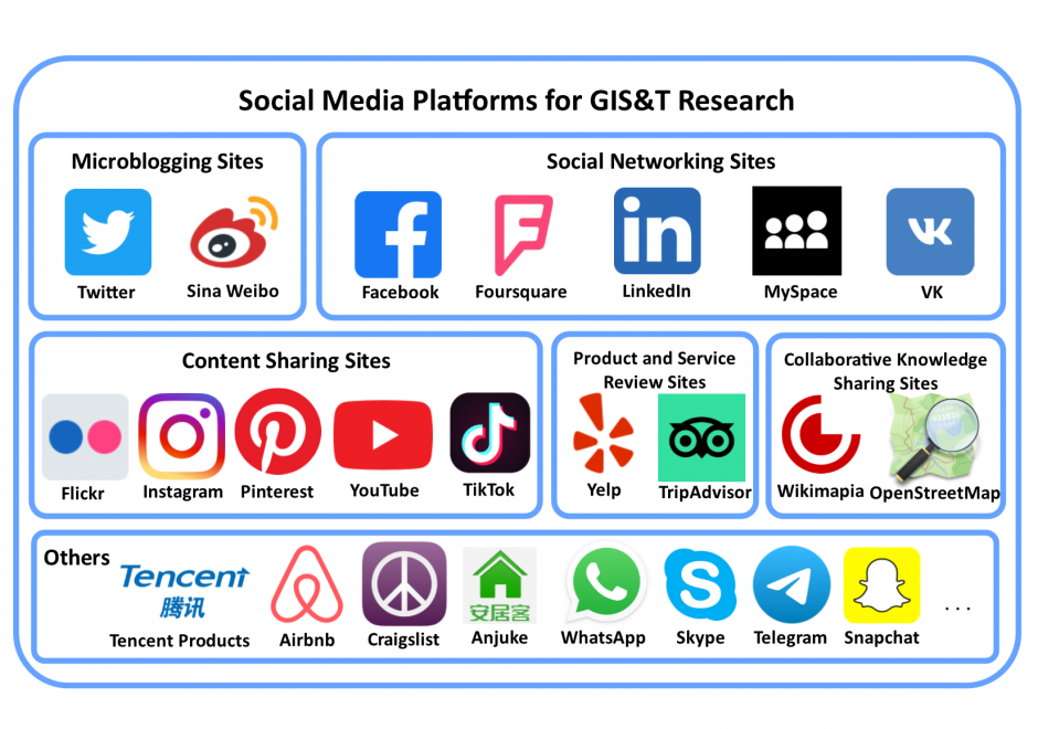
Social media is a group of interactive Web 2.0 Internet-based applications that allow users to create and exchange user-generated content via virtual communities. Social media platforms have a large user population who generate massive amounts of digital footprints, which are valuable data sources for observing and analyzing human activities/behavior. This entry focuses on social media platforms that provide spatial information in different forms for Geographic Information Systems and Technology (GIS&T) research. These social media platforms can be grouped into six categories: microblogging sites, social networking sites, content sharing sites, product and service review sites, collaborative knowledge sharing sites, and others. Four methods are available for capturing data from social media platforms, including Web Application Programming Interfaces (Web APIs), Web scraping, digital participant recruitment, and direct data purchasing. This entry first overviews the history, opportunities, and challenges related to social media platforms. Each category of social media platforms is then introduced in detail, including platform features, well-known platform examples, and data capturing processes.

DA-46 - Computational Geography
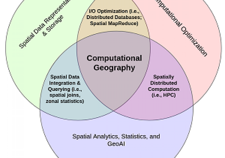
Computational Geography emerged in the 1980s in response to the reductionist limitations of early GIS software, which inhibited deep analyses of rich geographic data. Today, Computational Geography continues to integrate a wide range of domains to facilitate spatial analyses that require computational resources or ontological paradigms beyond that made available in traditional GIS software packages. These include novel approaches for the mass creation of geospatial data, large-scale database design for the effective storage and querying of spatial identifiers (i.e., distributed spatial databases), and methodologies which enable simulations and/or analysis in the context of large-scale, frequently near-real-time, spatially-explicit sources of information. The topics studied within Computational Geography directly enable many of the world’s largest public databases, including Google Maps and Open Street Map (OSM), as well as many modern analytic pipelines designed to study human behavior with the integration of large volumes of location information (e.g., mobile phone data) with other geospatial sources (e.g., satellite imagery).

DC-04 - Social Media Platforms

Social media is a group of interactive Web 2.0 Internet-based applications that allow users to create and exchange user-generated content via virtual communities. Social media platforms have a large user population who generate massive amounts of digital footprints, which are valuable data sources for observing and analyzing human activities/behavior. This entry focuses on social media platforms that provide spatial information in different forms for Geographic Information Systems and Technology (GIS&T) research. These social media platforms can be grouped into six categories: microblogging sites, social networking sites, content sharing sites, product and service review sites, collaborative knowledge sharing sites, and others. Four methods are available for capturing data from social media platforms, including Web Application Programming Interfaces (Web APIs), Web scraping, digital participant recruitment, and direct data purchasing. This entry first overviews the history, opportunities, and challenges related to social media platforms. Each category of social media platforms is then introduced in detail, including platform features, well-known platform examples, and data capturing processes.

Pages