DM-34 - Conceptual Data Models

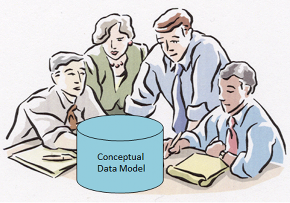
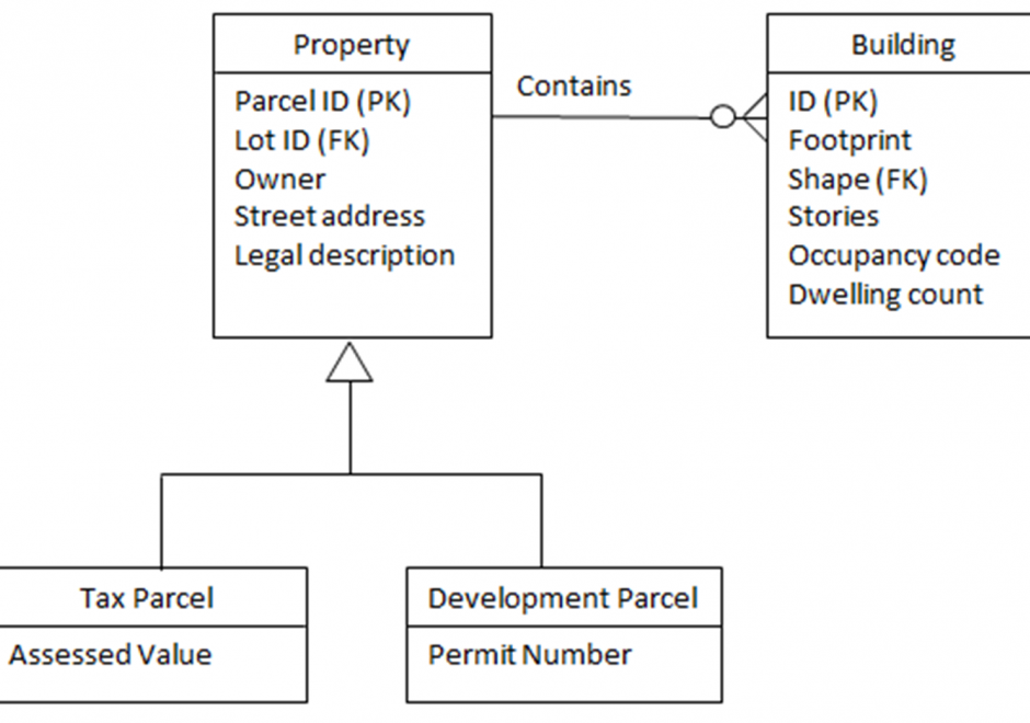
Within an initial phase of database design, a conceptual data model is created as a technology-independent specification of the data to be stored within a database. This specification often times takes the form of a formalized diagram. The process of conceptual data modeling is meant to foster shared understanding among data modelers and stakeholders when creating the specification. As such, a conceptual data model should be easily readable by people with little or no technical-computer-based expertise because a comprehensive view of information is more important than a detailed view. In a conceptual data model, entity classes are categories of things (person, place, thing, etc.) that have attributes for describing the characteristics of the things. Relationships can exist between the entity classes. Entity-relationship diagrams have been and are likely to continue to be a popular way of characterizing entity classes, attributes and relationships. Various notations for diagrams have been used over the years. The main intent about a conceptual data model and its corresponding entity-relationship diagram is that they should highlight the content and meaning of data within stakeholder information contexts, while postponing the specification of logical structure to the second phase of database design called logical data modeling.


FC-10 - GIS Data Properties
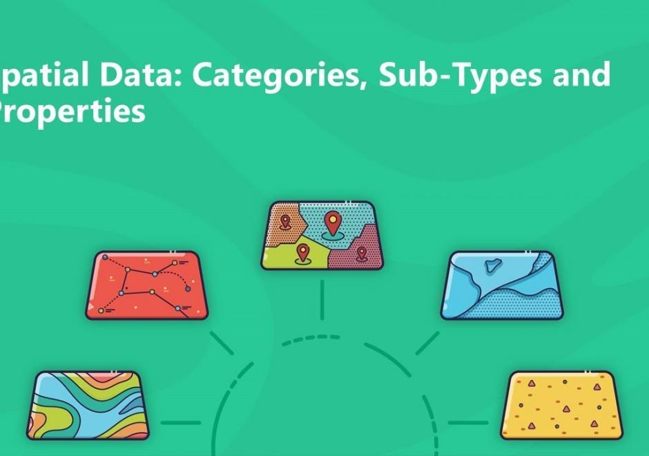
Data properties are characteristics of GIS attribute systems and values whose design and format impacts analytical and computational processing. Geospatial data are expressed at conceptual, logical, and physical levels of database abstraction intended to represent geographical information. The appropriate design of attribute systems and selection of properties should be logically consistent and support appropriate scales of measurement for representation and analysis. Geospatial concepts such as object-field views and dimensional space for relating objects and qualities form data models based on a geographic matrix and feature geometry. Three GIS approaches and their attribute system design are described: tessellations, vectors, and graphs.