AM-09 - Classification and Clustering

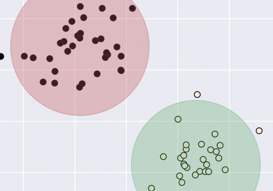
Classification and clustering are often confused with each other, or used interchangeably. Clustering and classification are distinguished by whether the number and type of classes are known beforehand (classification), or if they are learned from the data (clustering). The overarching goal of classification and clustering is to place observations into groups that share similar characteristics while maximizing the separation of the groups that are dissimilar to each other. Clusters are found in environmental and social applications, and classification is a common way of organizing information. Both are used in many areas of GIS including spatial cluster detection, remote sensing classification, cartography, and spatial analysis. Cartographic classification methods present a simplified way to examine some classification and clustering methods, and these will be explored in more depth with example applications.


AM-22 - Global Measures of Spatial Association
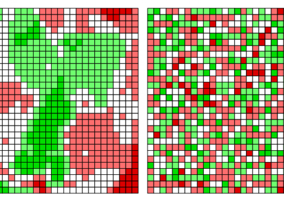
Spatial association broadly describes how the locations and values of samples or observations vary across space. Similarity in both the attribute values and locations of observations can be assessed using measures of spatial association based upon the first law of geography. In this entry, we focus on the measures of spatial autocorrelation that assess the degree of similarity between attribute values of nearby observations across the entire study region. These global measures assess spatial relationships with the combination of spatial proximity as captured in the spatial weights matrix and the attribute similarity as captured by variable covariance (i.e. Moran’s I) or squared difference (i.e. Geary’s C). For categorical data, the join count statistic provides a global measure of spatial association. Two visualization approaches for spatial autocorrelation measures include Moran scatterplots and variograms (also known as semi-variograms).