DA-31 - GIS&T and Libraries, Archives, and Museums

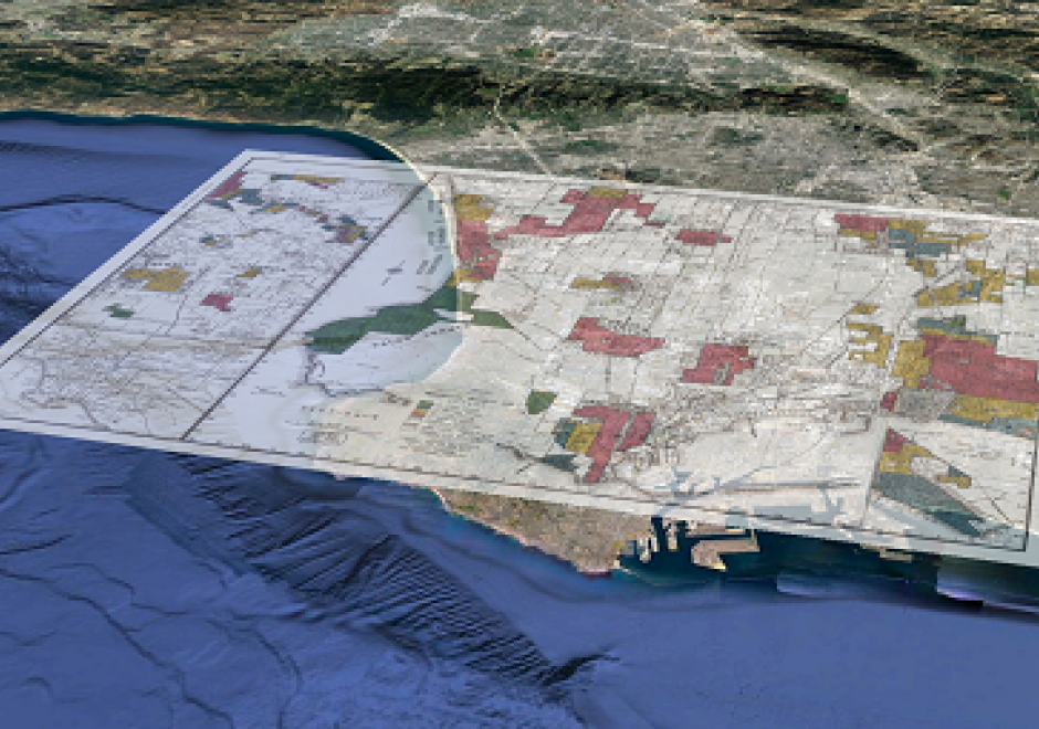
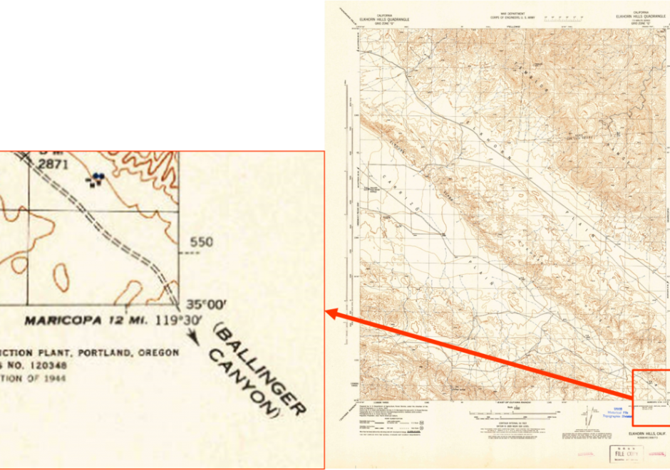
Libraries, archives, and museums (LAMs) are an important part of the GIS&T ecosystem and they engage in numerous activities that are critical for students, researchers, and practitioners. Traditionally these organizations have been at the forefront of developing infrastructures and services that connect researchers and others to historical and contemporary GIS data, including print maps. More recently, as a result of greater interest in spatial thinking and research, these organizations and institutions have become a place for instruction, outreach, and practice. This entry will discuss the historical role that LAMs have played in supporting and developing GIS&T as well as focus on current trends.


DC-10 - Aerial Photography: History and Georeferencing
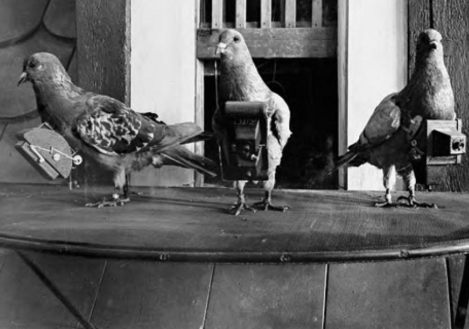
In 1903, Julius Neubranner, a photography enthusiast, designed and patented a breast-mounted aerial camera for carrier pigeons. Weighing only 70 grams, the camera took automatic exposures at 30-second intervals along the flight line flown by the bird. Although faster than balloons, they were not always reliable in following their flight paths. Today the pigeon corps has been replaced by unmanned aerial vehicles, but aerial photography continues to be an important source of data for use in a wide range of geospatial applications. Processing of the imagery to remove various types of distortion is a necessary step before the images can be georeferenced and used for mapping purposes.