GIS history

FC-31 - Academic Developments of GIS&T in English-speaking Countries: a Partial History

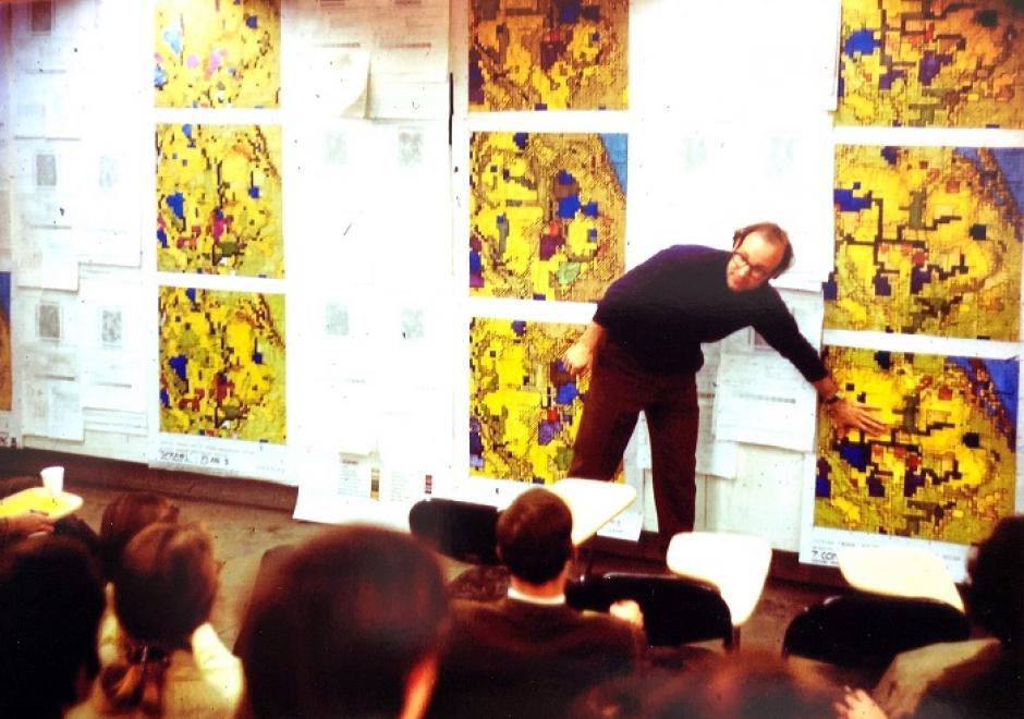
The constellation of science and technology that is now considered a unit (Geographic Information Science and Technology – GIS&T) has emerged from many source disciplines through many divergent and convergent pasts in different times and places. This narrative limits itself to the perspective of the English-speaking community, leaving other regions for a separate chapter As in the case of many technical developments in the second half of the twentieth century, academic institutions played a key (though far from exclusive) role in innovation and risk-taking. In a number of locations, academic innovators tried out new technology for handling geographic information, beginning as early as the 1960s. Three institutions (University of Washington, Laboratory for Computer Graphics – Harvard University, and Experimental Cartography Unit – Royal College of Art (UK)) deserve particular treatment as examples of the early innovation process. Their innovations may look crude by current standards, but they laid some groundwork for later developments. Academic institutions played a key role in innovation over the past decades, but the positioning of that role has shifted as first government, then commercial sectors have taken the lead in certain aspects of GIS&T. Current pressures on the academic sector may act to reduce this role.

CP-32 - On the Origins of Computing and GIST: Part 2, A Perspective on the Role of Peripheral Devices
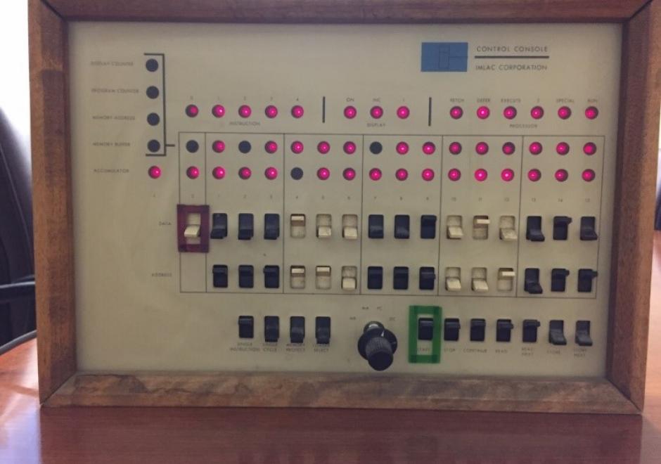
GIS implementations in the late-1960s to mid-1980s required the use of exotic peripheral devices to encode and display geospatial information. Data encoding was normally performed in one of two modes: automated raster scanning and manual (vector) coordinate recording. Raster scanning systems in this era were extremely expensive, operated in batch mode, and were located at a limited number of centralized facilities, such as federal mapping agencies. Coordinate digitizers were more widely distributed and were often configured with dedicated minicomputers to handle editing and formatting tasks. Data display devices produced hardcopy and softcopy output. Two commonly encountered hardcopy devices were line printers and pen plotters. Softcopy display consisted of cathode ray tube devices that operated using frame buffer and storage tube technologies. Each device was driven by specialized software provided by device manufacturers, leading to widespread hardware-software incompatibly. This problem led to the emergence of device independence to promote increased levels of interoperability among disparate input and output devices.

Pages