horizontal datums

DM-52 - Horizontal (Geometric) Datums
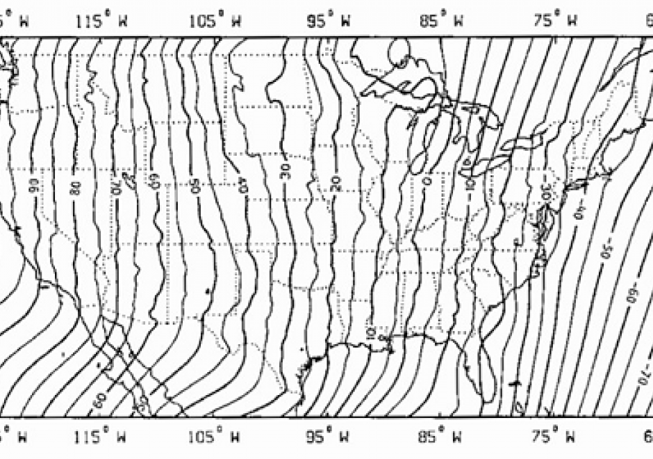
A horizontal (geometric) datum provides accurate coordinates (e.g., latitude and longitude) for points on Earth’s surface. Historically, surveyors developed a datum using optically sighted instruments to manually place intervisible survey marks in the ground. This survey work incorporated geometric principles of baselines, distances, and azimuths through the process of triangulation to attach a coordinate value to each survey mark. Triangulation produced a geodetic network of interconnected survey marks that realized the datum (i.e., connecting the geometry of the network to Earth’s physical surface). For local surveys, these datums provided reasonable positional accuracies on the order of meters. Importantly, once placed in the ground, these survey marks were passive; a new survey was needed to determine any positional changes (e.g., due to plate motion) and to update the attached coordinate values. Starting in the 1950s, due to the implementation of active control, space-based satellite geodesy changed how geodetic networks were realized. Here, "active" implies that a survey mark’s coordinates are updated in near real-time through, for example, artificial satellites such as GNSS. Increasingly, GNSS and satellite geodesy is paving the way for a modernized geometric datum that is global in scope and capable of providing positional accuracies at the millimeter level.