humanitarian GIS

DA-47 - GIS&T in International Affairs
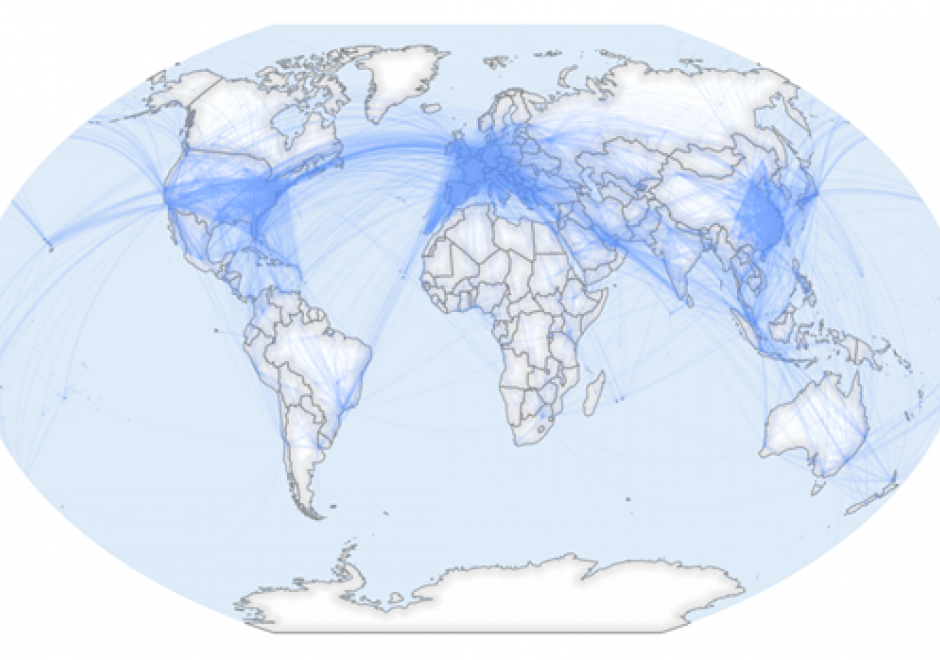
GIS applications within the International Affairs domain are vast, and they include: the analysis and representation of flows and stops of people, resources, and capital across borders, humanitarian assistance, war, conflict, and surveillance, and analysis of border-crossing spatial phenomena such as natural disasters and climate change.

Due to the wide range of potential thematic data, GIS for International Affairs should be a balance of hands-on practical application skills and critical thinking about spatial concepts of scale, boundaries, borders, and flows. GIS scholars and practitioners in this domain should learn to think critically about how and where spatial data is created, the people and cultures impacted by spatial data-driven decisions, and the equity of who is involved in such decisions. Students should learn how spatial data is created, how major datasets in the field are built, and how to design datasets during fieldwork for robust spatial analysis. Through all of this, critical thinking around which people and places are counted and represented should be maintained.

GIS in International Affairs must always contend with the colonial history of cartography, seeking now to understand how modern-day spatial technologies are always constituted by and embedded in constructions of power.