humanities

DC-36 - Historical Maps in GIS

The use of historical maps in coordination with GIS aids scholars who are approaching a geographical study in which an historical approach is required or is interested in the geographical relationships between different historical representations of the landscape in cartographic document.  Historical maps allow the comparison of spatial relationships of past phenomena and their evolution over time and permit both qualitative and quantitative diachronic analysis. In this chapter, an explanation of the use of historical maps in GIS for the study of landscape and environment is offered. After a short theoretical introduction on the meaning of the term “historical map,” the reader will find the key steps in using historic maps in a GIS, a brief overview on the challenges in interpretation of historical maps, and some example applications.

CV-33 - Narrative and Storytelling
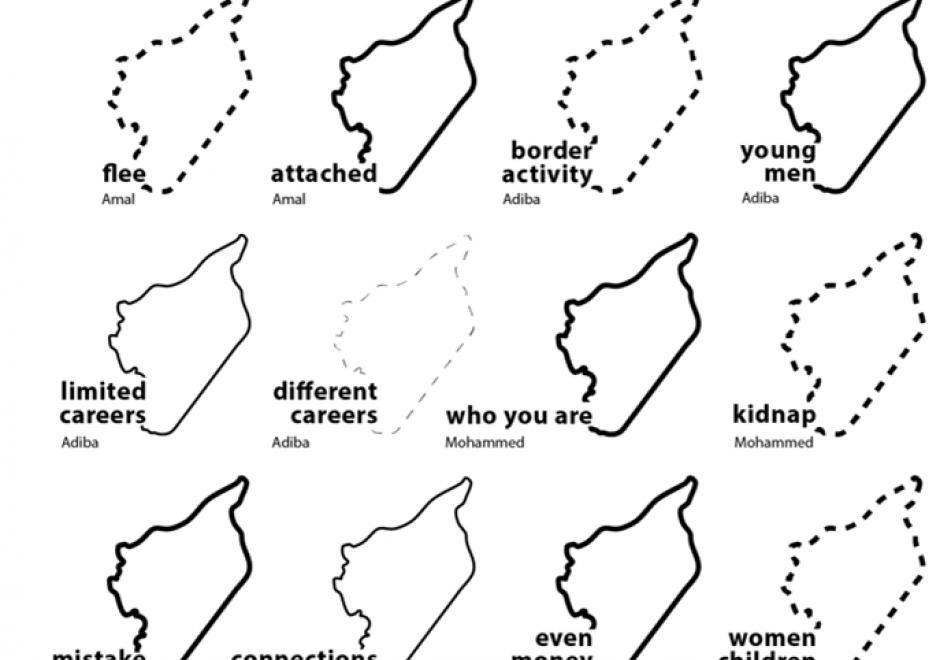
Maps are powerful storytellers. Maps have a long history combining spatial relations with cartographic language to locate, analyze, ground, and express stories told across time and space. Today, “story maps” are increasingly visible in cartography, GIScience, digital humanities, data visualization, and journalism due to the volume of available data and increasingly accessible mapping tools. Perhaps, most importantly, maps present world views and much larger (often hidden) stories or “meta-narratives.” These underlying stories often emerge from dominant perspectives that are deeply informed by power structures like racism, patriarchy, ableism, etc. and further generate uneven geographies. Attention to power in narrative and storytelling reveals and gives voice to alternative storylines and perspectives that can be woven together across time and space. In this entry, I introduce multiple conceptualizations of maps and stories from cartography and data journalism to feminist mapping, Black geographies, and decolonial mapping to illustrate the power of narrative and storytelling in mapping. I argue that understanding the power of narrative and storytelling in mapping is an essential skillset for students and professionals alike.

DC-36 - Historical Maps in GIS

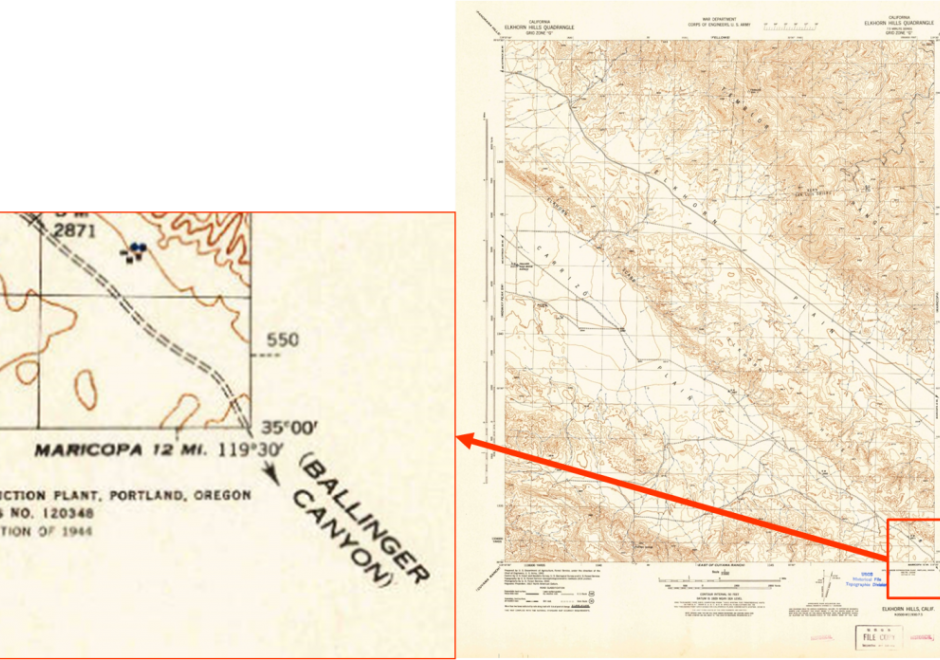
The use of historical maps in coordination with GIS aids scholars who are approaching a geographical study in which an historical approach is required or is interested in the geographical relationships between different historical representations of the landscape in cartographic document.  Historical maps allow the comparison of spatial relationships of past phenomena and their evolution over time and permit both qualitative and quantitative diachronic analysis. In this chapter, an explanation of the use of historical maps in GIS for the study of landscape and environment is offered. After a short theoretical introduction on the meaning of the term “historical map,” the reader will find the key steps in using historic maps in a GIS, a brief overview on the challenges in interpretation of historical maps, and some example applications.

Pages