DC-36 - Historical Maps in GIS

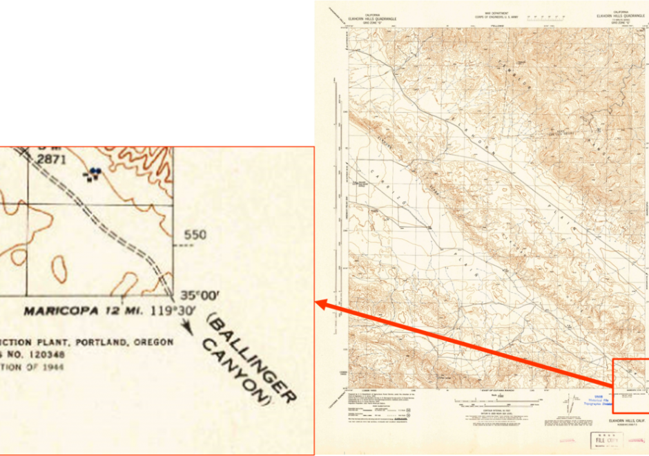
The use of historical maps in coordination with GIS aids scholars who are approaching a geographical study in which an historical approach is required or is interested in the geographical relationships between different historical representations of the landscape in cartographic document. Historical maps allow the comparison of spatial relationships of past phenomena and their evolution over time and permit both qualitative and quantitative diachronic analysis. In this chapter, an explanation of the use of historical maps in GIS for the study of landscape and environment is offered. After a short theoretical introduction on the meaning of the term “historical map,” the reader will find the key steps in using historic maps in a GIS, a brief overview on the challenges in interpretation of historical maps, and some example applications.

DC-36 - Historical Maps in GIS
The use of historical maps in coordination with GIS aids scholars who are approaching a geographical study in which an historical approach is required or is interested in the geographical relationships between different historical representations of the landscape in cartographic document. Historical maps allow the comparison of spatial relationships of past phenomena and their evolution over time and permit both qualitative and quantitative diachronic analysis. In this chapter, an explanation of the use of historical maps in GIS for the study of landscape and environment is offered. After a short theoretical introduction on the meaning of the term “historical map,” the reader will find the key steps in using historic maps in a GIS, a brief overview on the challenges in interpretation of historical maps, and some example applications.