landscape metrics

DA-32 - GIS&T and Natural Resource Management

Geographic Information Systems (GIS) is a geospatial technology that has matured with the help of natural resource management applications. Since its early beginnings as an extension of cartography, GIS has been used to capture, manipulate, store, analyze and manage data. GIS has matured as additional sciences began to adopt and apply it to multidisciplinary problems. In the mid-90s, much of the emphasis moved to desktop GIS making the access and use more mainstream and capable on personal desktop computers. Government agencies with more available and distributed datasets through the internet enabled more applications and use across disciplines because of the access. Soil scientists, wildlife biologists, hydrologists, engineers, planners, and others could now pursue spatial problems efficiently and effectively. More and more advances were being made in the sciences due to the new technology. The following discussion will focus on the use and applications of GIS for natural resource management. Areas covered in this review will be for forestry, watershed analysis, wildlife management, and landscape analysis. First a background of the applications will be introduced followed by a discussion of their applicability and uses.

AM-54 - Landscape Metrics
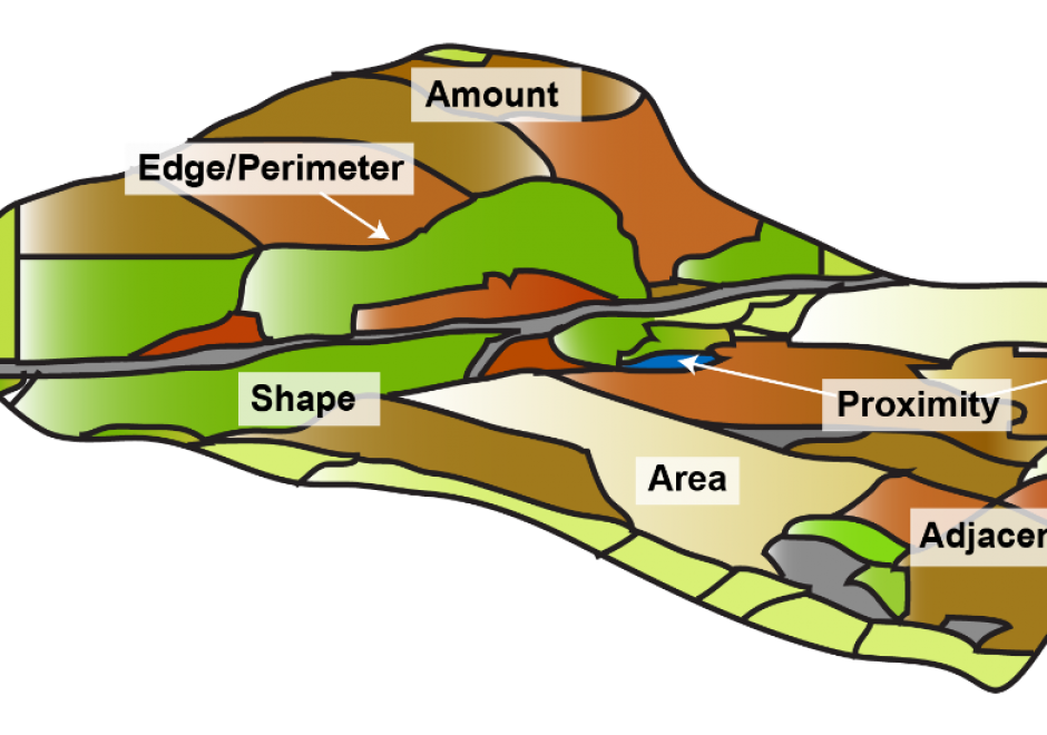
Landscape metrics are algorithms that quantify the spatial structure of patterns – primarily composition and configuration - within a geographic area. The term "landscape metrics" has historically referred to indices for categorical land cover maps, but with emerging datasets, tools, and software programs, the field is growing to include other types of landscape pattern analyses such as graph-based metrics, surface metrics, and three-dimensional metrics. The choice of which metrics to use requires careful consideration by the analyst, taking into account the data and application. Selecting the best metric for the problem at hand is not a trivial task given the large numbers of metrics that have been developed and software programs to implement them.

Pages