logic

FC-10 - GIS Data Properties

Data properties are characteristics of GIS attribute systems and values whose design and format impacts analytical and computational processing.  Geospatial data are expressed at conceptual, logical, and physical levels of database abstraction intended to represent geographical information. The appropriate design of attribute systems and selection of properties should be logically consistent and support appropriate scales of measurement for representation and analysis. Geospatial concepts such as object-field views and dimensional space for relating objects and qualities form data models based on a geographic matrix and feature geometry. Three GIS approaches and their attribute system design are described: tessellations, vectors, and graphs.

AM-04 - Overlay

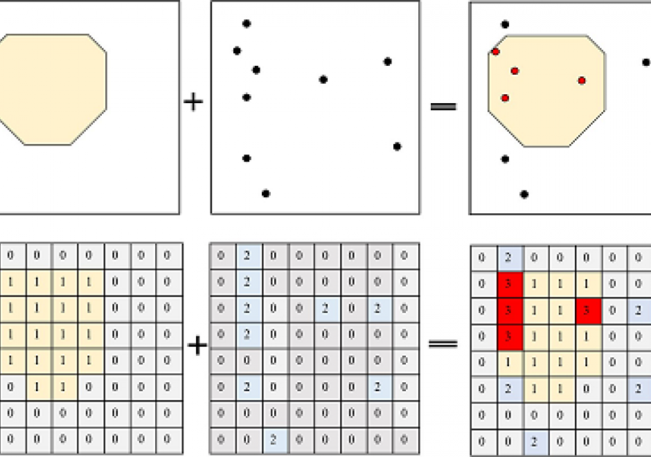
Overlay operation is a critical and powerful tool in GIS that superimposes spatial and attribute information from various thematic map layers to produce new information. Overlay operations facilitate spatial analysis and modeling processes when being used with other spatial operations (e.g. buffer, dissolve, merge) to solve real-world problems. For both vector and raster data models, the input layers need to be spatially aligned precisely with each other to ensure a correct overlay operation. In general, vector overlay is geometrically and computationally complex. Some most used vector overlay operations include intersection, union, erase, and clip. Raster overlay combines multiple raster layers cell by cell through Boolean, arithmetic, or comparison operators. This article provides an overview of the fundamentals of overlay operations, how they are implemented in vector and raster data, and how suitability analysis is conducted.

Pages