CV-05 - Statistical Mapping (Enumeration, Normalization, Classification)
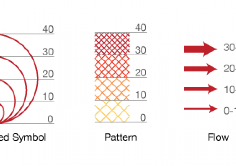
Proper communication of spatial distributions, trends, and patterns in data is an important component of a cartographers work. Geospatial data is often large and complex, and due to inherent limitations of size, scalability, and sensitivity, cartographers are often required to work with data that is abstracted, aggregated, or simplified from its original form. Working with data in this manner serves to clarify cartographic messages, expedite design decisions, and assist in developing narratives, but it also introduces a degree of abstraction and subjectivity in the map that can make it easy to infer false messages from the data and ultimately can mislead map readers. This entry introduces the core topics of statistical mapping around cartography. First, we define enumeration and the aggregation of data to units of enumeration. Next, we introduce the importance of data normalization (or standardization) to more truthfully communicate cartographically and, lastly, discuss common methods of data classification and how cartographers bin data into groups that simplify communication.

CV-09 - Color Theory
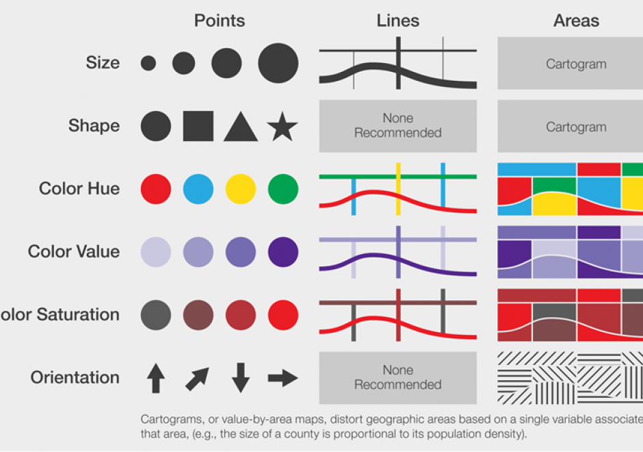
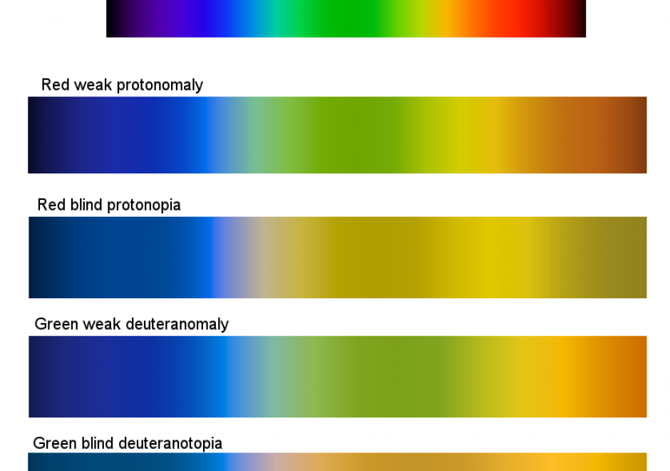
Color is the result of the visual perception of an energy source. It is described by its physical characteristics, mainly as a tridimensional variable modeled into a color space. Online tools exist to facilitate the use of color schemes to design a color palette, for artists, web designers, statisticians, etc. Colors in maps and visualizations must be combined to promote the visual hierarchy and harmony, balancing legibility, perceptual processing, and aesthetics. Color is a powerful visual variable and requires understanding the perception of color relationships. Existing color schemes are very useful to select a suitable color palette. As color is not experienced similarly across all map readers, issues about real-world connotations, conventions, specific color contrasts, and adaptation to color visual deficiencies and devices, are also to be taken into account when designing a color palette. This entry describes the main guidelines regarding color theory and related design practices as applied to map or geovisualization design.