DA-31 - GIS&T and Libraries, Archives, and Museums

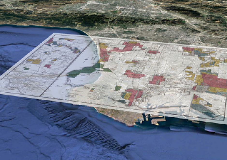
Libraries, archives, and museums (LAMs) are an important part of the GIS&T ecosystem and they engage in numerous activities that are critical for students, researchers, and practitioners. Traditionally these organizations have been at the forefront of developing infrastructures and services that connect researchers and others to historical and contemporary GIS data, including print maps. More recently, as a result of greater interest in spatial thinking and research, these organizations and institutions have become a place for instruction, outreach, and practice. This entry will discuss the historical role that LAMs have played in supporting and developing GIS&T as well as focus on current trends.


DM-60 - Spatial Data Infrastructures
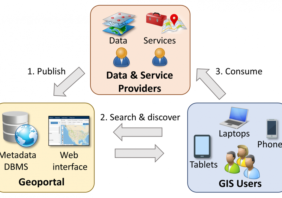
Spatial data infrastructure (SDI) is the infrastructure that facilitates the discovery, access, management, distribution, reuse, and preservation of digital geospatial resources. These resources may include maps, data, geospatial services, and tools. As cyberinfrastructures, SDIs are similar to other infrastructures, such as water supplies and transportation networks, since they play fundamental roles in many aspects of the society. These roles have become even more significant in today’s big data age, when a large volume of geospatial data and Web services are available. From a technological perspective, SDIs mainly consist of data, hardware, and software. However, a truly functional SDI also needs the efforts of people, supports from organizations, government policies, data and software standards, and many others. In this chapter, we will present the concepts and values of SDIs, as well as a brief history of SDI development in the U.S. We will also discuss the components of a typical SDI, and will specifically focus on three key components: geoportals, metadata, and search functions. Examples of the existing SDI implementations will also be discussed.