FC-24 - Conceptual Models of Error and Uncertainty
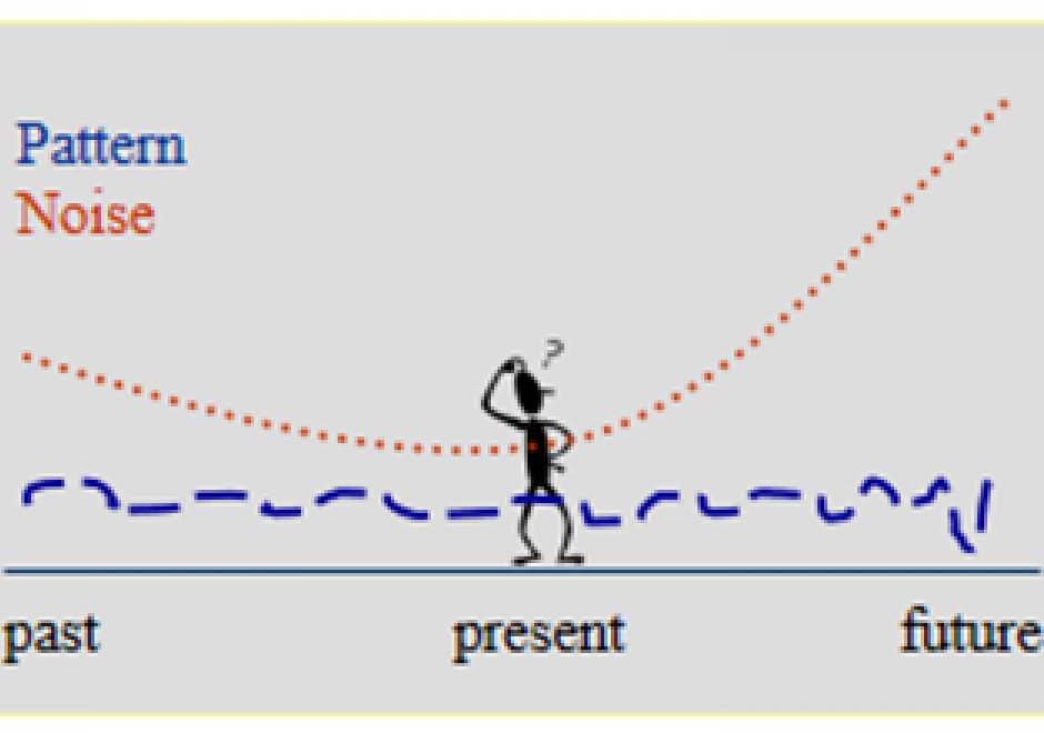
Uncertainty and error are integral parts of science and technology, including GIS&T, as they are of most human endeavors. They are important characteristics of knowledge, which is very seldom perfect. Error and uncertainty both affect our understanding of the present and the past, and our expectations from the future. ‘Uncertainty’ is sometimes used as the umbrella term for a number of related concepts, of which ‘error’ is the most important in GIS and in most other data-intensive fields. Very often, uncertainty is the result of error (or suspected error). As concepts, both uncertainty and error are complex, each having several different versions, interpretations, and kinds of impacts on the quality of GIS products, and on the uses and decisions that users may make on their basis. This section provides an overview of the kinds of uncertainty and common sources of error in GIS&T, the role of a number of additional related concepts in refining our understanding of different forms of imperfect knowledge, the problems of uncertainty and error in the context of decision-making, especially regarding actions with important future consequences, and some standard as well as more exploratory approaches to handling uncertainties about the future. While uncertainty and error are in general undesirable, they may also point to unsuspected aspects of an issue and thus help generate new insights.



DA-46 - Computational Geography
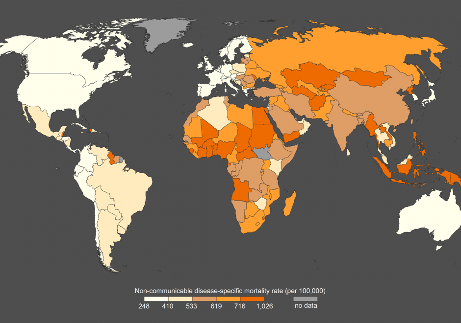
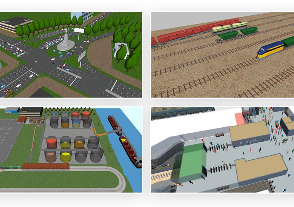
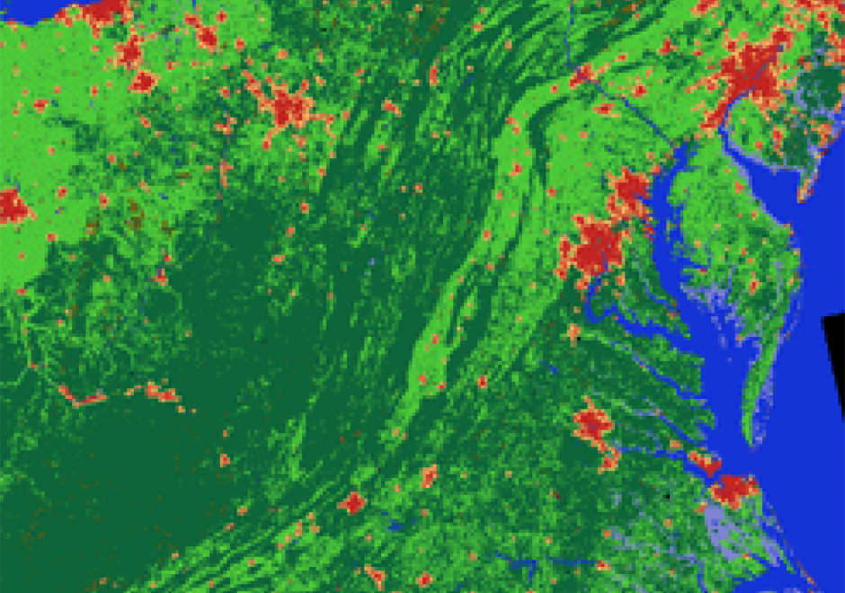
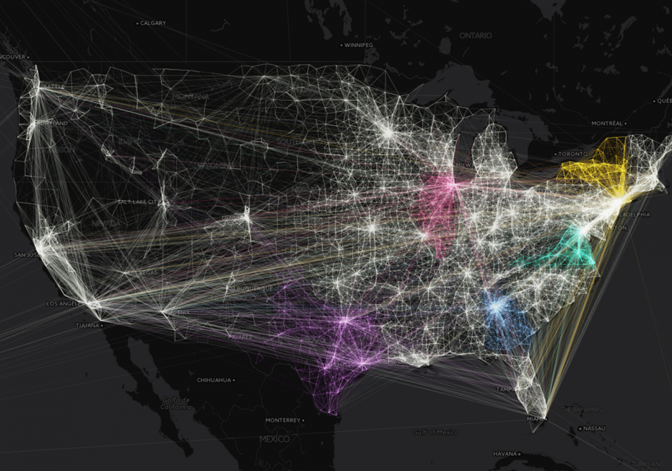
Computational Geography emerged in the 1980s in response to the reductionist limitations of early GIS software, which inhibited deep analyses of rich geographic data. Today, Computational Geography continues to integrate a wide range of domains to facilitate spatial analyses that require computational resources or ontological paradigms beyond that made available in traditional GIS software packages. These include novel approaches for the mass creation of geospatial data, large-scale database design for the effective storage and querying of spatial identifiers (i.e., distributed spatial databases), and methodologies which enable simulations and/or analysis in the context of large-scale, frequently near-real-time, spatially-explicit sources of information. The topics studied within Computational Geography directly enable many of the world’s largest public databases, including Google Maps and Open Street Map (OSM), as well as many modern analytic pipelines designed to study human behavior with the integration of large volumes of location information (e.g., mobile phone data) with other geospatial sources (e.g., satellite imagery).