NSDI

DM-79 - U.S. National Spatial Data Infrastructure

Spatial data infrastructures may be thought of as socio-technical frameworks for coordinating the development, management, sharing and use of geospatial data across multiple organizational jurisdictions and varying geographic extents. The United States was an early adopter of the SDI concept and the U.S. National Spatial Data Infrastructure (NSDI) is an example of a country-wide SDI implementation facilitated by coordination at the federal-government level. At the time of its establishment in the early 1990s, a unique characteristic of the NSDI was a mandate for federal agencies to establish partnerships with state- and local-level government. This entry summarizes the origins of the NSDI’s establishment, its original core components and how they’ve evolved over the last 25 years, the role of the Federal Geographic Data Committee (FGDC), and the anticipated impact of passage of the Geospatial Data Act of 2018. For broader technical information about SDIs, readers are referred to GIST BoK Entry DM-60: Spatial Data Infrastructures (Hu and Li 2017). For additional details on the history of the NSDI, readers are referred to Rhind (1999). For the latest information on recent and emerging NSDI initiatives, please visit the FGDC web site (www.fgdc.gov).  

DC-42 - Changes in Geospatial Data Capture Over Time: Part 2, Implications and Case Studies
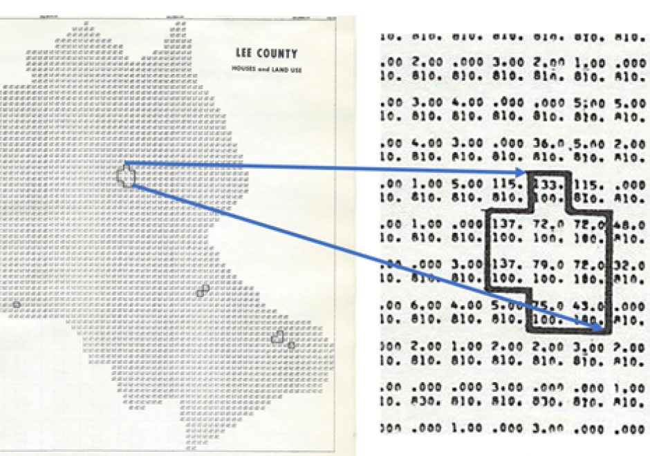
Advances in technological approaches and tools to capture geospatial data have contributed to a vast collection of applications and enabled capacity for new programs, functions, products, workflows, and whole national-level spatial data infrastructure. In this entry, such outcomes and implications are described, focusing on developmental changes in specific application areas such as land use & land cover inventory, land parcel administration, and business, as well as examples from federal agencies, including the US Geological Survey, the Census Bureau, US Fish and Wildlife Service, and the US Department of Agriculture. These examples illustrate the diverse ways that the dramatic changes in geospatial data capture methods and approaches have affected workflows within agencies and have spatially empowered millions of users and the general public. For additional information on specific technical changes, see Part 1: 

Pages