procedural language

PD-17 - SQL Languages for GIS
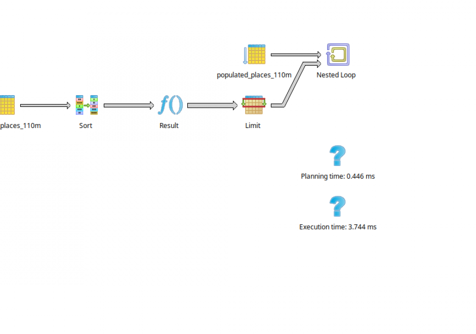
SQL (Structured Query Language) is a declarative programming language that is closely linked to the relational database model. It is an accessible and widely adopted language used for query, data modification, and data definition—that is, defining data structures (tables) and other database objects. Important additions to the SQL standard include SQL/PSM, which adds control flow, local variables, and other procedural language features; and SQL/MM Part 3, which adds spatial support. Many complex geoprocessing workflows typically implemented in desktop GIS or scripting languages can easily be implemented in spatial SQL.

Pages